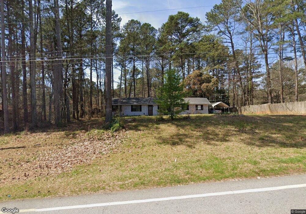
1563 Highpoint Rd Snellville, GA 30078
Estimated Value: $322,000 - $370,000
3
Beds
1
Bath
1,730
Sq Ft
$194/Sq Ft
Est. Value
About This Home
This home is located at 1563 Highpoint Rd, Snellville, GA 30078 and is currently estimated at $335,123, approximately $193 per square foot. 1563 Highpoint Rd is a home located in Gwinnett County with nearby schools including Brookwood Elementary School, Five Forks Middle School, and Brookwood High School.
Ownership History
Date
Name
Owned For
Owner Type
Purchase Details
Closed on
Jul 15, 2005
Sold by
Gibson William R and Gibson Judith
Bought by
Gibson Gregory S
Current Estimated Value
Home Financials for this Owner
Home Financials are based on the most recent Mortgage that was taken out on this home.
Original Mortgage
$103,680
Outstanding Balance
$53,189
Interest Rate
5.59%
Mortgage Type
New Conventional
Estimated Equity
$281,934
Create a Home Valuation Report for This Property
The Home Valuation Report is an in-depth analysis detailing your home's value as well as a comparison with similar homes in the area
Home Values in the Area
Average Home Value in this Area
Purchase History
| Date | Buyer | Sale Price | Title Company |
|---|---|---|---|
| Gibson Gregory S | $129,600 | -- |
Source: Public Records
Mortgage History
| Date | Status | Borrower | Loan Amount |
|---|---|---|---|
| Open | Gibson Gregory S | $103,680 |
Source: Public Records
Tax History Compared to Growth
Tax History
| Year | Tax Paid | Tax Assessment Tax Assessment Total Assessment is a certain percentage of the fair market value that is determined by local assessors to be the total taxable value of land and additions on the property. | Land | Improvement |
|---|---|---|---|---|
| 2025 | $3,311 | $126,360 | $22,200 | $104,160 |
| 2024 | $3,368 | $123,240 | $22,200 | $101,040 |
| 2023 | $3,368 | $105,400 | $26,400 | $79,000 |
| 2022 | $2,717 | $93,680 | $23,600 | $70,080 |
| 2021 | $2,228 | $68,960 | $18,400 | $50,560 |
| 2020 | $2,118 | $63,160 | $16,000 | $47,160 |
| 2019 | $1,992 | $59,880 | $13,600 | $46,280 |
| 2018 | $1,947 | $57,960 | $13,600 | $44,360 |
| 2016 | $1,739 | $47,320 | $11,600 | $35,720 |
| 2015 | $1,546 | $39,840 | $9,200 | $30,640 |
| 2014 | -- | $39,840 | $9,200 | $30,640 |
Source: Public Records
Map
Nearby Homes
- 3173 Falconhurst Dr SW
- 3063 Bruckner Blvd
- 3207 Aspen Cir SW
- 1220 Edgebrook Ln
- 1845 Lisa Springs Dr
- 3190 Wood Springs Trace SW
- 1686 Norton Estates Dr
- 3331 Manchester Dr SW
- 1953 Watson Park Dr
- Kenwood Plan at Watson Park
- Stockbridge Plan at Watson Park
- Aiken Plan at Watson Park
- Lawrence Plan at Watson Park
- Easton Plan at Watson Park
- 1750 Manor Brook Way
- 1721 Bruckner Ct
- 1526 Lechemin Dr
- 1904 Britt Dr
- 3091 Chimney Ridge W
- 3082 Fireplace Trail Unit 1
- 3101 Chimney Ridge W Unit 1
- 3092 Fireplace Trail
- 1578 Highpoint Rd
- 3102 Fireplace Trail
- 3051 Chimney Ridge Dr W
- 3111 Chimney Ridge W Unit 1
- 3081 Chimney Ridge E
- 3112 Fireplace Trail
- 0 Chimney Ridge Unit 7408056
- 0 Chimney Ridge Unit 7223077
- 3073 Fireplace Trail Unit 1
- 3071 Chimney Ridge E
- 3100 Chimney Ridge W
- 3121 Chimney Ridge W
- 3083 Fireplace Trail
- 3093 Fireplace Trail
- 3080 Chimney Ridge E
- 3110 Chimney Ridge W Unit 1