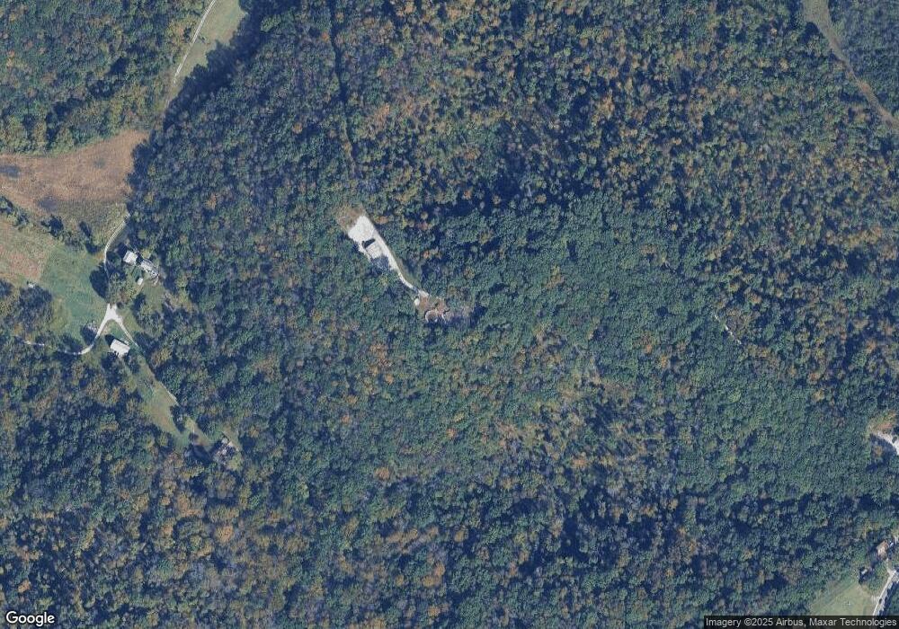
1563 Highway 100 Pacific, MO 63069
Estimated Value: $588,799 - $876,000
4
Beds
1
Bath
3,578
Sq Ft
$206/Sq Ft
Est. Value
About This Home
This home is located at 1563 Highway 100, Pacific, MO 63069 and is currently estimated at $738,700, approximately $206 per square foot. 1563 Highway 100 is a home located in Franklin County with nearby schools including Pacific High School.
Ownership History
Date
Name
Owned For
Owner Type
Purchase Details
Closed on
Aug 10, 2022
Sold by
Matthew Thome
Bought by
Matthew Alan Thome And Tiffany Rachael Thome
Current Estimated Value
Purchase Details
Closed on
Aug 27, 2020
Sold by
Mckerracher Trust
Bought by
Thome Matthew and Thome Tiffany
Home Financials for this Owner
Home Financials are based on the most recent Mortgage that was taken out on this home.
Original Mortgage
$436,500
Interest Rate
2.9%
Mortgage Type
New Conventional
Purchase Details
Closed on
Apr 15, 2014
Sold by
Mckerracher Karen A
Bought by
Mckerracher Trust
Create a Home Valuation Report for This Property
The Home Valuation Report is an in-depth analysis detailing your home's value as well as a comparison with similar homes in the area
Home Values in the Area
Average Home Value in this Area
Purchase History
| Date | Buyer | Sale Price | Title Company |
|---|---|---|---|
| Matthew Alan Thome And Tiffany Rachael Thome | -- | None Listed On Document | |
| Thome Matthew | -- | None Available | |
| Mckerracher Trust | -- | -- |
Source: Public Records
Mortgage History
| Date | Status | Borrower | Loan Amount |
|---|---|---|---|
| Previous Owner | Thome Matthew | $436,500 |
Source: Public Records
Tax History Compared to Growth
Tax History
| Year | Tax Paid | Tax Assessment Tax Assessment Total Assessment is a certain percentage of the fair market value that is determined by local assessors to be the total taxable value of land and additions on the property. | Land | Improvement |
|---|---|---|---|---|
| 2024 | $4,271 | $57,460 | $0 | $0 |
| 2023 | $4,271 | $57,460 | $0 | $0 |
| 2022 | $3,346 | $51,726 | $0 | $0 |
| 2021 | $2,601 | $39,899 | $0 | $0 |
| 2020 | $2,278 | $33,384 | $0 | $0 |
| 2019 | $2,275 | $33,384 | $0 | $0 |
| 2018 | $2,237 | $32,313 | $0 | $0 |
| 2017 | $2,231 | $32,313 | $0 | $0 |
| 2016 | $2,073 | $29,836 | $0 | $0 |
| 2015 | $1,910 | $29,836 | $0 | $0 |
| 2014 | $1,911 | $30,242 | $0 | $0 |
Source: Public Records
Map
Nearby Homes
- 2510 Spring Valley Rd
- 416 Henrys Trace
- 2671 Forest Glen Dr
- 2600 Forest Glen Dr
- 2677 Forest Glen Dr
- 2016 Las Brisas Ln
- 2799 Forest Glen Dr
- 71 Forest Glen Dr
- 53 Forest Glen Dr
- 49 Forest Glen Dr
- 74 Forest Glen Dr
- 2056 Shannon Ct
- 2057 Shannon Ct
- 2815 Forest Glen Dr
- 2746 Forest Glen Dr
- 2714 Forest Glen Dr
- 2722 Forest Glen Dr
- 2838 Forest Glen Dr
- 2159 Judith Cir
- 2846 Forest Glen Dr
- 82 Springhill Rd
- 90 Springhill Rd
- 92 Springhill Rd
- 92 Springhill Rd
- 1587 Highway 100
- 1575 Highway 100
- 251 Springhill Rd
- 1559 Highway 100
- 682 Deer Ridge Rd
- 1541 Highway 100
- 1627 Highway 100
- 1529 Highway 100
- 1530 Highway 100
- 334 C T Farm Rd
- 755 Deer Ridge Rd
- 1526 Highway 100
- 1443 Highway 100
- 1463 Highway 100
- 1477 Highway 100
- 1671 Highway 100
