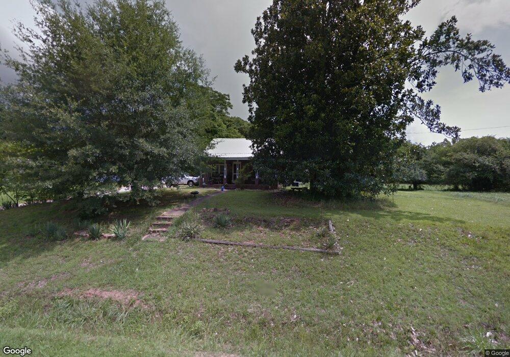
1563 Post Rd Cleveland, GA 30528
Estimated Value: $304,000 - $513,000
2
Beds
1
Bath
1,008
Sq Ft
$404/Sq Ft
Est. Value
About This Home
This home is located at 1563 Post Rd, Cleveland, GA 30528 and is currently estimated at $407,296, approximately $404 per square foot. 1563 Post Rd is a home located in White County with nearby schools including White County 9th Grade Academy, Tesnatee Gap Elementary (Old White County Intermediate), and Jack P. Nix Elementary School.
Ownership History
Date
Name
Owned For
Owner Type
Purchase Details
Closed on
Jul 20, 2021
Sold by
Meaders Jessie Lee
Bought by
Freeman Richard G
Current Estimated Value
Home Financials for this Owner
Home Financials are based on the most recent Mortgage that was taken out on this home.
Original Mortgage
$130,000
Outstanding Balance
$48,455
Interest Rate
3%
Mortgage Type
New Conventional
Estimated Equity
$358,841
Create a Home Valuation Report for This Property
The Home Valuation Report is an in-depth analysis detailing your home's value as well as a comparison with similar homes in the area
Home Values in the Area
Average Home Value in this Area
Purchase History
| Date | Buyer | Sale Price | Title Company |
|---|---|---|---|
| Freeman Richard G | $150,000 | -- |
Source: Public Records
Mortgage History
| Date | Status | Borrower | Loan Amount |
|---|---|---|---|
| Open | Freeman Richard G | $130,000 |
Source: Public Records
Tax History Compared to Growth
Tax History
| Year | Tax Paid | Tax Assessment Tax Assessment Total Assessment is a certain percentage of the fair market value that is determined by local assessors to be the total taxable value of land and additions on the property. | Land | Improvement |
|---|---|---|---|---|
| 2025 | $240 | $102,548 | $79,192 | $23,356 |
| 2024 | $240 | $140,444 | $94,636 | $45,808 |
| 2023 | $61 | $125,068 | $84,120 | $40,948 |
| 2022 | $214 | $109,424 | $73,604 | $35,820 |
| 2021 | $545 | $100,872 | $71,580 | $29,292 |
| 2020 | $514 | $94,056 | $66,468 | $27,588 |
| 2019 | $513 | $94,056 | $66,468 | $27,588 |
| 2018 | $510 | $94,068 | $66,468 | $27,600 |
| 2017 | $449 | $91,916 | $66,468 | $25,448 |
| 2016 | $447 | $91,916 | $66,468 | $25,448 |
| 2015 | $418 | $109,650 | $66,468 | $25,448 |
| 2014 | $805 | $104,780 | $0 | $0 |
Source: Public Records
Map
Nearby Homes
- 96 Joyce Dr Unit (OFF AIRPORT ROAD)
- 841 Yonah Meadow Dr
- 82 Tom Teague Rd
- 869 Mossy Creek Church Rd
- 176 Westmoreland Meadows Dr
- 229 Samson Way
- 2523 Westmoreland Rd
- 57 Autumnwood Way
- 109 Driskell Rd
- 79 Hampton Hills Ln
- 1021 Black Rd
- 256 Dogwood Ln
- 250 Truelove Rd
- 0 Black Rd Unit 7662078
- 0 Black Rd Unit 10620540
- 179 Garrison Dr
- 152 Grand View Dr
- 221 Grand View Dr
- 338 Black Rd
- 0 Grand View Dr Unit 10479899
- 1623 Post Rd
- 1488 Post Rd
- 48 Stover Rd
- 100 Stover Rd
- 1696 Post Rd
- 1401 Post Rd
- 1401 Post Rd
- 44 Stover Rd
- 0 Stover Rd
- 0 Stover Rd Unit 7153926
- 0 Stover Rd Unit 10116051
- 0 Stover Rd Unit 10116026
- 0 Stover Rd Unit 3261148
- 0 Stover Rd Unit 8131318
- 0 Stover Rd Unit 7211286
- 0 Stover Rd Unit 7187448
- 0 Stover Rd Unit 3019552
- 0 Stover Rd Unit 7138642
- 0 Stover Rd Unit 7245010
- 0 Stover Rd Unit 7016438