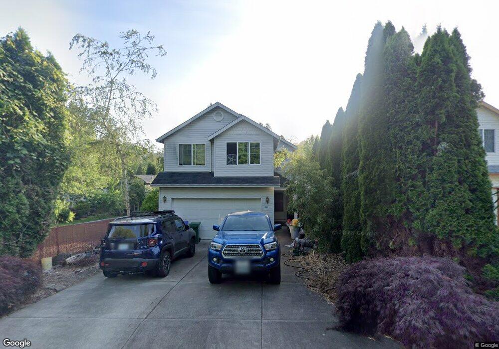
1563 SE Cedar Creek Place Gresham, OR 97080
Historic Southeast NeighborhoodEstimated Value: $433,000 - $512,000
4
Beds
3
Baths
1,500
Sq Ft
$308/Sq Ft
Est. Value
About This Home
This home is located at 1563 SE Cedar Creek Place, Gresham, OR 97080 and is currently estimated at $462,546, approximately $308 per square foot. 1563 SE Cedar Creek Place is a home located in Multnomah County with nearby schools including East Gresham Elementary School, Dexter McCarty Middle School, and Gresham High School.
Ownership History
Date
Name
Owned For
Owner Type
Purchase Details
Closed on
Jan 4, 2001
Sold by
Ha King T
Bought by
Thompson Bruce Richard
Current Estimated Value
Home Financials for this Owner
Home Financials are based on the most recent Mortgage that was taken out on this home.
Original Mortgage
$115,000
Outstanding Balance
$42,409
Interest Rate
7.71%
Mortgage Type
Purchase Money Mortgage
Estimated Equity
$420,137
Create a Home Valuation Report for This Property
The Home Valuation Report is an in-depth analysis detailing your home's value as well as a comparison with similar homes in the area
Home Values in the Area
Average Home Value in this Area
Purchase History
| Date | Buyer | Sale Price | Title Company |
|---|---|---|---|
| Thompson Bruce Richard | $154,995 | First American |
Source: Public Records
Mortgage History
| Date | Status | Borrower | Loan Amount |
|---|---|---|---|
| Open | Thompson Bruce Richard | $115,000 |
Source: Public Records
Tax History
| Year | Tax Paid | Tax Assessment Tax Assessment Total Assessment is a certain percentage of the fair market value that is determined by local assessors to be the total taxable value of land and additions on the property. | Land | Improvement |
|---|---|---|---|---|
| 2025 | $4,585 | $225,330 | -- | -- |
| 2024 | $4,389 | $218,770 | -- | -- |
| 2023 | $3,999 | $212,400 | $0 | $0 |
| 2022 | $3,887 | $206,220 | $0 | $0 |
| 2021 | $3,789 | $200,220 | $0 | $0 |
| 2020 | $3,565 | $194,390 | $0 | $0 |
| 2019 | $3,472 | $188,730 | $0 | $0 |
| 2018 | $3,311 | $183,240 | $0 | $0 |
| 2017 | $3,177 | $177,910 | $0 | $0 |
| 2016 | $2,801 | $172,730 | $0 | $0 |
Source: Public Records
Map
Nearby Homes
- 1120 SE Spruce Ct
- 2024 SE Spruce Ave
- 1918 SE Regner Rd
- 1326 SE Linden Ct
- 1949 SE Palmquist Rd Unit 51
- 1949 SE Palmquist Rd Unit 91
- 1949 SE Palmquist Rd Unit 121
- 2137 SE 15th Aly
- 2125 SE 18th Aly
- 2240 SE 16th St
- 511 SE 15th St
- 2243 SE 19th St
- 2358 SE Palmquist Rd
- 2392 SE 16th Aly
- 1696 SE 26th Dr
- 2581 SE Morlan Way
- 1414 SE Beech Place
- 732 SE Rene Ave
- 2925 SE Cleveland Dr
- 2696 SE Palmquist Rd
- 1563 SE Cedar Creek Place
- 1553 SE Cedar Creek Place
- 1590 SE Liberty Ave
- 1560 SE Liberty Ave
- 1578 SE Liberty Ave
- 1620 SE Liberty Ave
- 1570 SE Cedar Creek Place
- 1550 SE Cedar Creek Place
- 1480 SE Liberty Ave
- 1530 SE Cedar Creek Place
- 1599 SE Maple Loop
- 1500 SE Cedar Creek Place
- 1640 SE Liberty Ave
- 1565 SE Maple Loop
- 1553 SE Maple Loop
- 1545 SE Maple Loop
- 1585 SE Maple Loop
- 1426 SE Liberty Ave
- 1525 SE Maple Loop
- 1420 SE Roberts Dr
Your Personal Tour Guide
Ask me questions while you tour the home.