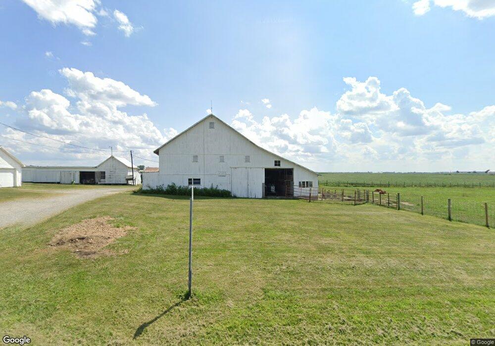
1563 State Route 294 Marion, OH 43302
Estimated Value: $175,000 - $366,000
4
Beds
2
Baths
936
Sq Ft
$260/Sq Ft
Est. Value
About This Home
This home is located at 1563 State Route 294, Marion, OH 43302 and is currently estimated at $243,150, approximately $259 per square foot. 1563 State Route 294 is a home located in Crawford County with nearby schools including Wynford Elementary School and Wynford High School.
Ownership History
Date
Name
Owned For
Owner Type
Purchase Details
Closed on
Aug 17, 2007
Sold by
Knapp Donna J
Bought by
Burge Larry S
Current Estimated Value
Home Financials for this Owner
Home Financials are based on the most recent Mortgage that was taken out on this home.
Original Mortgage
$54,800
Outstanding Balance
$34,750
Interest Rate
6.69%
Mortgage Type
New Conventional
Estimated Equity
$208,400
Create a Home Valuation Report for This Property
The Home Valuation Report is an in-depth analysis detailing your home's value as well as a comparison with similar homes in the area
Home Values in the Area
Average Home Value in this Area
Purchase History
| Date | Buyer | Sale Price | Title Company |
|---|---|---|---|
| Burge Larry S | -- | -- |
Source: Public Records
Mortgage History
| Date | Status | Borrower | Loan Amount |
|---|---|---|---|
| Open | Burge Larry S | $54,800 |
Source: Public Records
Tax History Compared to Growth
Tax History
| Year | Tax Paid | Tax Assessment Tax Assessment Total Assessment is a certain percentage of the fair market value that is determined by local assessors to be the total taxable value of land and additions on the property. | Land | Improvement |
|---|---|---|---|---|
| 2024 | $1,655 | $45,450 | $7,970 | $37,480 |
| 2023 | $1,655 | $25,480 | $5,780 | $19,700 |
| 2022 | $1,155 | $25,480 | $5,780 | $19,700 |
| 2021 | $1,210 | $25,480 | $5,780 | $19,700 |
| 2020 | $1,141 | $25,970 | $6,270 | $19,700 |
| 2019 | $1,174 | $25,970 | $6,270 | $19,700 |
| 2018 | $1,187 | $25,970 | $6,270 | $19,700 |
| 2017 | $1,104 | $24,440 | $6,890 | $17,550 |
| 2016 | $917 | $24,440 | $6,890 | $17,550 |
| 2015 | $931 | $24,440 | $6,890 | $17,550 |
| 2014 | $956 | $23,100 | $5,550 | $17,550 |
| 2013 | $956 | $23,100 | $5,550 | $17,550 |
Source: Public Records
Map
Nearby Homes
- Morral Kirkpatrick Rd
- 5198 Columbus-Sandusky Rd N
- 0 Linn-Hipsher Rd
- 1773 Marion-Melmore Rd
- 3090 Schell Dr
- 1683 Linn Hipsher Rd
- 2929 Schell Dr
- 2768 East Dr
- 1922 Harris Dr
- 3602 Marion-Bucyrus Rd
- 3602 Marion Bucyrus Rd
- 1798 Harris Dr
- 1123 Hillcrest Dr
- 1315 Lynne Ave
- 2440 Wyandot Rd
- 1112 Hillcrest Dr
- 1149 Farmview Dr
- 0 Lynne Ave
- 1145 Lynne Ave
- 275 Brentwood St
- 1538 State Route 294
- 1538 Ohio 294
- 1526 State Route 294
- 1511 State Route 294
- 385 Monnett Rd
- 1502 Ohio 294
- 1502 Sr 294
- 1456 State Route 294
- 1459 State Route 294
- 1448 State Route 294
- 1455 State Route 294
- 1434 State Route 294
- 419 Buhler Dr
- 437 Buhler Dr
- 1440 State Route 294
- 410 Buhler Dr
- 434 Buhler Dr
- 1699 State Route 294
- 450 Buhler Dr
- 1407 State Route 294