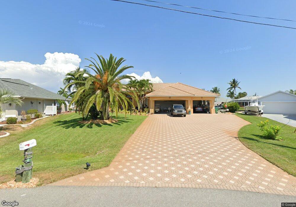
15636 Ruston Cir Port Charlotte, FL 33981
Gulf Cove NeighborhoodEstimated Value: $713,979 - $871,000
3
Beds
2
Baths
2,561
Sq Ft
$307/Sq Ft
Est. Value
About This Home
This home is located at 15636 Ruston Cir, Port Charlotte, FL 33981 and is currently estimated at $786,745, approximately $307 per square foot. 15636 Ruston Cir is a home located in Charlotte County with nearby schools including Myakka River Elementary School, L.A. Ainger Middle School, and Lemon Bay High School.
Ownership History
Date
Name
Owned For
Owner Type
Purchase Details
Closed on
Oct 24, 2016
Sold by
Prinkey Nancy N and The Nancy N Prinkey Living Tru
Bought by
Rrown Thomas V and Rrown Alana A
Current Estimated Value
Home Financials for this Owner
Home Financials are based on the most recent Mortgage that was taken out on this home.
Original Mortgage
$417,000
Outstanding Balance
$335,411
Interest Rate
3.48%
Mortgage Type
New Conventional
Estimated Equity
$451,334
Purchase Details
Closed on
Mar 2, 2012
Sold by
Prinkey Nancy N
Bought by
Prinkey Nancy N and The Nancy N Prinkey Living Trust
Purchase Details
Closed on
May 1, 2000
Sold by
Russo Gary J and Russo Anne
Bought by
Prinkey Kenneth M and Prinkey Nancy N
Create a Home Valuation Report for This Property
The Home Valuation Report is an in-depth analysis detailing your home's value as well as a comparison with similar homes in the area
Home Values in the Area
Average Home Value in this Area
Purchase History
| Date | Buyer | Sale Price | Title Company |
|---|---|---|---|
| Rrown Thomas V | $467,500 | None Available | |
| Prinkey Nancy N | -- | Attorney | |
| Prinkey Kenneth M | $35,000 | -- |
Source: Public Records
Mortgage History
| Date | Status | Borrower | Loan Amount |
|---|---|---|---|
| Open | Rrown Thomas V | $417,000 |
Source: Public Records
Tax History Compared to Growth
Tax History
| Year | Tax Paid | Tax Assessment Tax Assessment Total Assessment is a certain percentage of the fair market value that is determined by local assessors to be the total taxable value of land and additions on the property. | Land | Improvement |
|---|---|---|---|---|
| 2023 | $7,214 | $442,376 | $0 | $0 |
| 2022 | $7,146 | $430,779 | $0 | $0 |
| 2021 | $7,180 | $418,232 | $0 | $0 |
| 2020 | $7,071 | $412,458 | $0 | $0 |
| 2019 | $6,928 | $403,185 | $0 | $0 |
| 2018 | $6,486 | $395,667 | $0 | $0 |
| 2017 | $6,442 | $387,529 | $95,200 | $292,329 |
| 2016 | $4,745 | $280,544 | $0 | $0 |
| 2015 | $4,529 | $278,594 | $0 | $0 |
| 2014 | $4,494 | $276,383 | $0 | $0 |
Source: Public Records
Map
Nearby Homes
- 9325 Saint Paul Dr
- 15660 Ruston Cir
- 15659 Ruston Cir
- 9349 Saint Paul Dr
- 15571 Ruston Cir
- 10096 Saint Paul Dr
- 9365 Saint Paul Dr
- 10528 Saint Paul Dr
- 10072 Saint Paul Dr
- 15563 Ruston Cir
- 15483 Mccomb Cir
- 15588 Ruston Cir
- 9346 St Paul Dr
- 15503 Mccomb Cir
- 9381 St Paul Dr
- 15555 Ruston Cir
- 9149 Lane Ct
- 16031 Eastern Blvd
- 15547 Mccomb Cir
- 15562 Mccomb Cir
- 15628 Ruston Cir
- 15644 Ruston Cir
- 15620 Ruston Cir
- 15635 Ruston Cir
- 15458 Mccomb Cir
- 15450 Mccomb Cir Unit 5
- 15450 Mccomb Cir
- 15466 Mccomb Cir
- 9309 St Paul Dr
- 15612 Ruston Cir
- 9341 Saint Paul Dr
- 9341 St Paul Dr
- 9301 Saint Paul Dr
- 15668 Ruston Cir
- 15604 Ruston Cir
- 15474 Mccomb Cir
- 10000 Saint Paul Dr
- 10352 Saint Paul Dr
- 10216 Saint Paul Dr