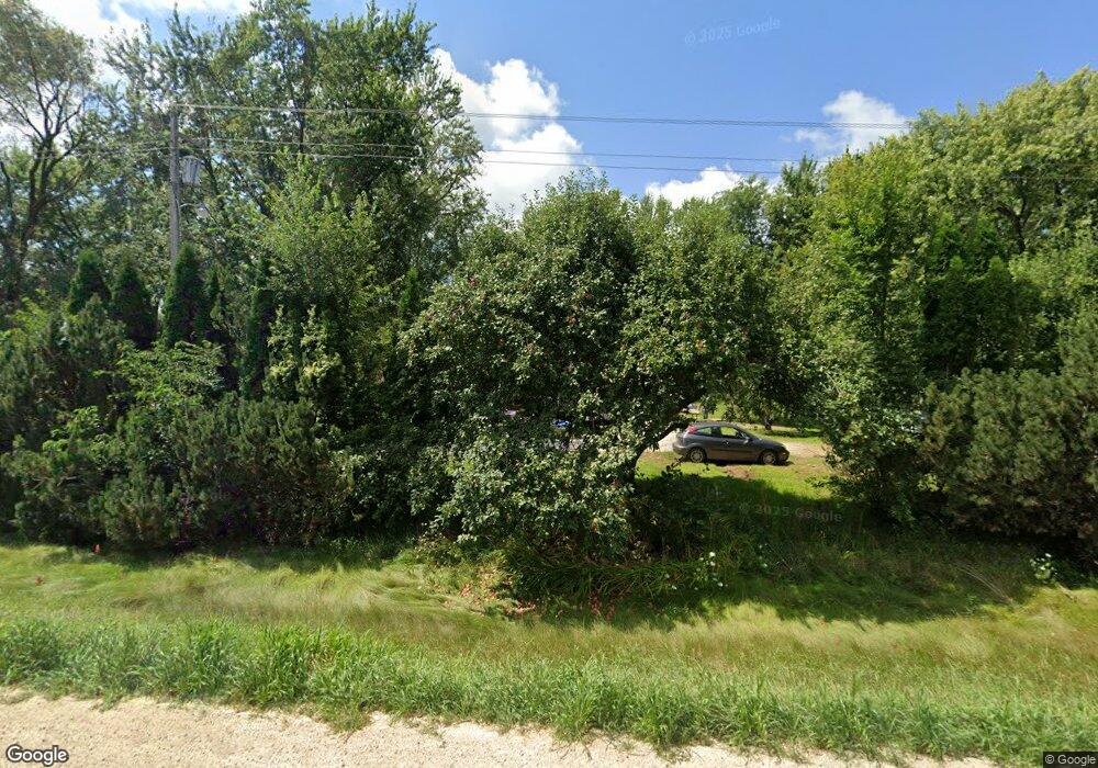
1564 Highway 65 New Richmond, WI 54017
Estimated Value: $309,000 - $341,437
--
Bed
--
Bath
--
Sq Ft
4.11
Acres
About This Home
This home is located at 1564 Highway 65, New Richmond, WI 54017 and is currently estimated at $322,859. 1564 Highway 65 is a home located in St. Croix County with nearby schools including New Richmond High School and St. Mary School.
Ownership History
Date
Name
Owned For
Owner Type
Purchase Details
Closed on
Nov 20, 2019
Sold by
Fletch William J and William J Fletch & Dianne A Fl
Bought by
Gamble Shannon
Current Estimated Value
Home Financials for this Owner
Home Financials are based on the most recent Mortgage that was taken out on this home.
Original Mortgage
$196,278
Outstanding Balance
$176,006
Interest Rate
4.62%
Mortgage Type
FHA
Estimated Equity
$146,853
Purchase Details
Closed on
Nov 7, 2014
Sold by
Fletch William J and Fletch Dianne A
Bought by
Revoc William J Fletch and Revoc Dianne A Fletch
Create a Home Valuation Report for This Property
The Home Valuation Report is an in-depth analysis detailing your home's value as well as a comparison with similar homes in the area
Home Values in the Area
Average Home Value in this Area
Purchase History
| Date | Buyer | Sale Price | Title Company |
|---|---|---|---|
| Gamble Shannon | $199,900 | None Available | |
| Revoc William J Fletch | -- | None Available |
Source: Public Records
Mortgage History
| Date | Status | Borrower | Loan Amount |
|---|---|---|---|
| Open | Gamble Shannon | $196,278 |
Source: Public Records
Tax History Compared to Growth
Tax History
| Year | Tax Paid | Tax Assessment Tax Assessment Total Assessment is a certain percentage of the fair market value that is determined by local assessors to be the total taxable value of land and additions on the property. | Land | Improvement |
|---|---|---|---|---|
| 2024 | $31 | $255,800 | $52,600 | $203,200 |
| 2023 | $2,845 | $255,800 | $52,600 | $203,200 |
| 2022 | $2,680 | $255,800 | $52,600 | $203,200 |
| 2021 | $2,226 | $255,800 | $52,600 | $203,200 |
| 2020 | $2,459 | $137,900 | $44,300 | $93,600 |
| 2019 | $2,377 | $137,900 | $44,300 | $93,600 |
| 2018 | $2,281 | $137,900 | $44,300 | $93,600 |
| 2017 | $2,229 | $137,900 | $44,300 | $93,600 |
| 2016 | $2,229 | $137,900 | $44,300 | $93,600 |
| 2015 | $2,312 | $137,900 | $44,300 | $93,600 |
| 2014 | $2,233 | $137,900 | $44,300 | $93,600 |
| 2013 | $2,137 | $137,900 | $44,300 | $93,600 |
Source: Public Records
Map
Nearby Homes
- 1318 146th Ave
- 524 Cassandra Dr Unit 44
- 1824 White Pine Way
- 572 Williamsburg Place
- 425 Paperjack Dr
- 1575 Evan Ct
- 1137 Sugar Pine Ln
- 1149 Sugar Pine Ln
- 1438 129th St
- 1600 Hallewood Blvd
- TBD Cattail Ln Unit Lot 7
- TBD Cattail Ln Unit Lot 8
- TBD Cattail Ln Unit Lot 9
- 1565 Ponderosa Ln
- 1448 Valley Creek Dr
- 1422 Creekwood Dr
- 1430 Creekwood Dr
- 1389 Mallard Ln
- 1650 Waters Edge Dr
- 1417 146th Ave
- 1566 Highway 65
- 1552 Hwy Gg
- 1562 Highway 65
- 1558 Highway 65
- 1563 Highway 65
- XXX Ponderosa Ln
- xxxxx Tamarack Place
- XXXX Tamarack Place
- XXXX Sequoia Ln
- 1548 Highway 65
- 1571 Highway 65
- 1590 Highway 65
- 1567 127th St
- 1578 Highway 65
- 1544 Highway 65
- 1589 Highway 65
- 1563 127th St
- 1540 Highway 65
- 1566 127th St
- 1558 127th St