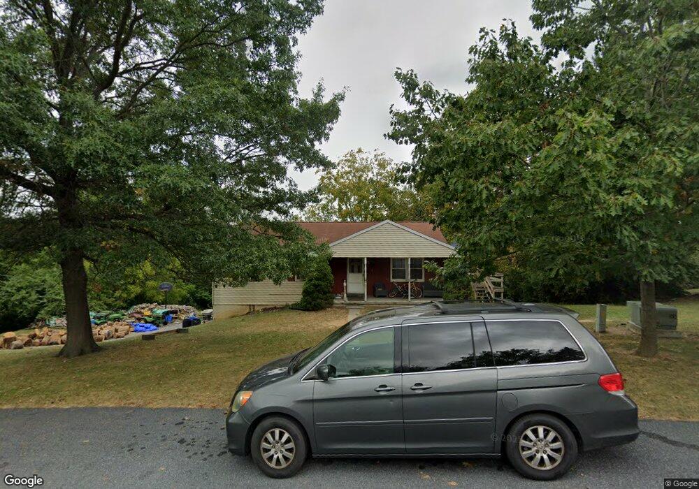
1564 Loop Rd Manheim, PA 17545
Estimated Value: $310,120 - $416,000
3
Beds
1
Bath
1,204
Sq Ft
$302/Sq Ft
Est. Value
About This Home
This home is located at 1564 Loop Rd, Manheim, PA 17545 and is currently estimated at $363,780, approximately $302 per square foot. 1564 Loop Rd is a home located in Lancaster County with nearby schools including Manheim Central Senior High School and New Haven Mennonite School.
Ownership History
Date
Name
Owned For
Owner Type
Purchase Details
Closed on
Sep 20, 2007
Sold by
Lehman Leroy H and Lehman Nancy A
Bought by
Bollinger Douglas G and Bollinger Beth E
Current Estimated Value
Home Financials for this Owner
Home Financials are based on the most recent Mortgage that was taken out on this home.
Original Mortgage
$141,600
Outstanding Balance
$89,927
Interest Rate
6.63%
Mortgage Type
Purchase Money Mortgage
Estimated Equity
$273,853
Create a Home Valuation Report for This Property
The Home Valuation Report is an in-depth analysis detailing your home's value as well as a comparison with similar homes in the area
Home Values in the Area
Average Home Value in this Area
Purchase History
| Date | Buyer | Sale Price | Title Company |
|---|---|---|---|
| Bollinger Douglas G | $177,000 | None Available |
Source: Public Records
Mortgage History
| Date | Status | Borrower | Loan Amount |
|---|---|---|---|
| Open | Bollinger Douglas G | $141,600 |
Source: Public Records
Tax History
| Year | Tax Paid | Tax Assessment Tax Assessment Total Assessment is a certain percentage of the fair market value that is determined by local assessors to be the total taxable value of land and additions on the property. | Land | Improvement |
|---|---|---|---|---|
| 2025 | $3,374 | $165,500 | $62,700 | $102,800 |
| 2024 | $3,374 | $165,500 | $62,700 | $102,800 |
| 2023 | $3,303 | $165,500 | $62,700 | $102,800 |
| 2022 | $3,218 | $165,500 | $62,700 | $102,800 |
| 2021 | $3,145 | $165,500 | $62,700 | $102,800 |
| 2020 | $3,145 | $165,500 | $62,700 | $102,800 |
| 2019 | $3,091 | $165,500 | $62,700 | $102,800 |
| 2018 | $3,660 | $165,500 | $62,700 | $102,800 |
| 2017 | $2,760 | $118,400 | $34,300 | $84,100 |
| 2016 | $2,760 | $118,400 | $34,300 | $84,100 |
| 2015 | $655 | $118,400 | $34,300 | $84,100 |
| 2014 | $1,913 | $118,400 | $34,300 | $84,100 |
Source: Public Records
Map
Nearby Homes
- 1505 Newport Rd
- 3734 Elizabethtown Rd
- 550 Speedwell Forge Rd
- 854 Cambridge Dr Unit 7
- 900 Cambridge Dr
- 730 Heather Ridge Unit 146
- 714 Heather Ridge Unit 140
- 820 Cambridge Dr Unit 77
- 60 Penn Valley Village
- 988 Cambridge Dr
- 90 Penn Valley Village
- 240 Evans Rd
- 546 Hi View Dr
- 50 W 28th Division Hwy
- 2891 Newport Rd
- 1235 Lebanon Rd
- 209 N Laurel St
- 130 Julia Ln
- 258 Weston Terrace
- 1265 Ash Ln
Your Personal Tour Guide
Ask me questions while you tour the home.