--
Bed
--
Bath
2,640
Sq Ft
1
Acres
About This Home
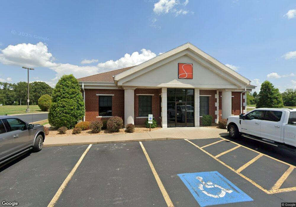
This home is located at 1564 N Main St, Nixa, MO 65714. 1564 N Main St is a home located in Christian County with nearby schools including High Pointe Elementary School, Summit Intermediate School, and Nixa Junior High School.
Ownership History
Date
Name
Owned For
Owner Type
Purchase Details
Closed on
Oct 1, 2024
Sold by
Telcomm Credit Union
Bought by
Missouri Highways And Transportation Commissi
Purchase Details
Closed on
Jan 10, 2023
Sold by
Faith Works Unlimited Llc
Bought by
Telcomm Credit Union
Purchase Details
Closed on
Aug 26, 2021
Sold by
Southern Bank
Bought by
Faith Works Unlimited Llc
Home Financials for this Owner
Home Financials are based on the most recent Mortgage that was taken out on this home.
Original Mortgage
$403,750
Interest Rate
2.8%
Mortgage Type
Future Advance Clause Open End Mortgage
Create a Home Valuation Report for This Property
The Home Valuation Report is an in-depth analysis detailing your home's value as well as a comparison with similar homes in the area
Home Values in the Area
Average Home Value in this Area
Purchase History
| Date | Buyer | Sale Price | Title Company |
|---|---|---|---|
| Missouri Highways And Transportation Commissi | $125,000 | Preferred Title | |
| Telcomm Credit Union | -- | Land Title | |
| Faith Works Unlimited Llc | -- | Hogan Land Title Co |
Source: Public Records
Mortgage History
| Date | Status | Borrower | Loan Amount |
|---|---|---|---|
| Previous Owner | Faith Works Unlimited Llc | $403,750 |
Source: Public Records
Tax History Compared to Growth
Tax History
| Year | Tax Paid | Tax Assessment Tax Assessment Total Assessment is a certain percentage of the fair market value that is determined by local assessors to be the total taxable value of land and additions on the property. | Land | Improvement |
|---|---|---|---|---|
| 2024 | $11,100 | $168,900 | -- | -- |
| 2023 | $11,100 | $168,900 | $0 | $0 |
| 2022 | $10,362 | $157,470 | $0 | $0 |
| 2021 | $10,367 | $157,470 | $0 | $0 |
| 2020 | $10,836 | $157,470 | $0 | $0 |
| 2019 | $10,836 | $157,470 | $0 | $0 |
| 2018 | $10,130 | $157,470 | $0 | $0 |
| 2017 | $10,130 | $157,470 | $0 | $0 |
| 2016 | $8,535 | $134,620 | $0 | $0 |
| 2015 | $8,546 | $134,620 | $134,620 | $0 |
| 2014 | $8,348 | $134,620 | $0 | $0 |
| 2013 | $8,360 | $134,620 | $0 | $0 |
| 2011 | -- | $276,680 | $0 | $0 |
Source: Public Records
Map
Nearby Homes
- 1677 N State Highway Cc
- 000 N Pine St
- 000 W Bentwater Dr
- 110 W Maple St
- 1363 N Maxine Ave
- 1327 N Maxine Ave
- 1313 N Maxine Ave
- 1301 N Maxine Ave
- Obsidian B Plan at Walker Estates
- 1383 N Maxine Ave
- Diamond Plan at Walker Estates
- Amber Plan at Walker Estates
- Amethyst Plan at Walker Estates
- Jasper Plan at Walker Estates
- 1281 N Maxine Ave
- 703 W Laverne Dr
- Lot 24 Bentwater Phase 3
- 1343 N Maxine Ave
- 1271 N Maxine Ave
- 1259 N Maxine Ave
- 1563 Rosewood Ln Unit B&A
- 1563 Rosewood Ln Unit Ste B
- 151 E State Highway Cc
- 124 W Cedar St
- 1579 Rosewood Ln
- 291 E State Hwy Cc
- 1525 N Main St
- 1609 N State Highway Cc
- 1609 N State Highway Cc
- 1613 N State Highway Cc
- 139 E State Highway Cc
- 230 W Cedar St
- 157 W Cedar St
- 1641 N State Highway Cc
- 1640 Lakeshore Dr
- Tbd N State Highway Cc
- 236 W Cedar St
- 1635 Lakeshore Dr
- 1650 N State Highway Cc
- 1659 N State Highway Cc