Estimated Value: $427,473 - $497,000
4
Beds
2
Baths
4,032
Sq Ft
$113/Sq Ft
Est. Value
About This Home
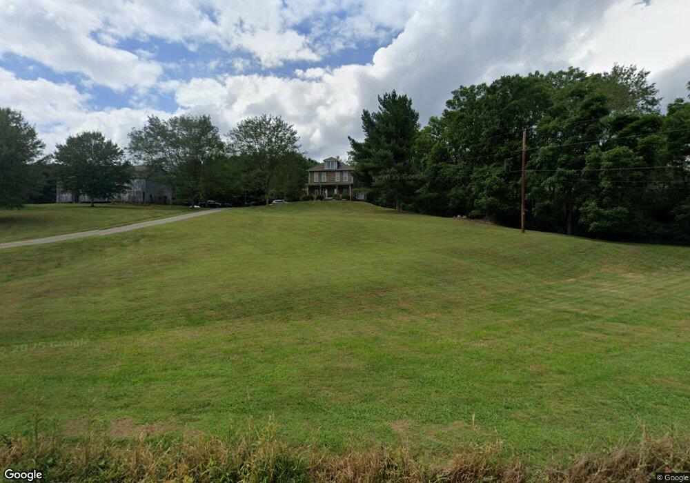
This home is located at 15641 State Route 93 S, Logan, OH 43138 and is currently estimated at $457,158, approximately $113 per square foot. 15641 State Route 93 S is a home located in Hocking County with nearby schools including Union Furnace Elementary School, Logan Christian School, and St. John the Evangelist School.
Ownership History
Date
Name
Owned For
Owner Type
Purchase Details
Closed on
May 17, 2006
Sold by
Greco Steven J and Greco Dalena D
Bought by
Greco Steven and Greco Dalena
Current Estimated Value
Create a Home Valuation Report for This Property
The Home Valuation Report is an in-depth analysis detailing your home's value as well as a comparison with similar homes in the area
Home Values in the Area
Average Home Value in this Area
Purchase History
| Date | Buyer | Sale Price | Title Company |
|---|---|---|---|
| Greco Steven | -- | None Available |
Source: Public Records
Tax History Compared to Growth
Tax History
| Year | Tax Paid | Tax Assessment Tax Assessment Total Assessment is a certain percentage of the fair market value that is determined by local assessors to be the total taxable value of land and additions on the property. | Land | Improvement |
|---|---|---|---|---|
| 2024 | $2,772 | $73,110 | $39,470 | $33,640 |
| 2023 | $2,772 | $73,110 | $39,470 | $33,640 |
| 2022 | $2,777 | $73,110 | $39,470 | $33,640 |
| 2021 | $2,354 | $58,200 | $30,040 | $28,160 |
| 2020 | $2,343 | $58,200 | $30,040 | $28,160 |
| 2019 | $2,344 | $58,200 | $30,040 | $28,160 |
| 2018 | $1,967 | $50,040 | $21,880 | $28,160 |
| 2017 | $1,930 | $50,040 | $21,880 | $28,160 |
| 2016 | $1,916 | $50,040 | $21,880 | $28,160 |
| 2015 | $1,933 | $48,620 | $22,710 | $25,910 |
| 2014 | $1,933 | $48,620 | $22,710 | $25,910 |
| 2013 | $1,941 | $48,620 | $22,710 | $25,910 |
Source: Public Records
Map
Nearby Homes
- 31440 Deerfield Dr
- 15155 Sauerkraut Rd
- 15050 Old McArthur Rd
- 14180 Ohio 664
- 0 Redbud Ln Unit LOT 62 224020754
- 14121 State Route 664 S
- 29593 Big Pine Rd
- 82 Pineywood Trail
- 32366 Lilac Ln
- 0 Nixon Rd
- 33461 Barker Rd
- 32268 Cedar Ln
- 15817 Nickel Plate Rd
- 30574 Strawn Rd
- 13464 State Route 664 S
- 13493 Hildebrandt Rd
- 13534 Hildebrandt Rd
- 13548 Hildebrandt Rd
- 13771 Hildebrandt Rd
- 1139 Old McArthur Rd
- 31481 Deerfield Dr
- 16764 Burcham Rd
- 31422 Deerfield Dr
- 15540 Ohio 93
- 15761 State Route 93 S
- 31411 Deerfield Dr
- 15503 State Route 93 S
- 31384 Deerfield Dr
- 15762 State Route 93 S
- 16672 Burcham Rd
- 31358 Deerfield Dr
- 15799 State Route 93 S
- 15532 State Route 93 S
- 31379 Deerfield Dr
- 15794 State Route 93 S
- 15532 Ohio 93
- 31345 Deerfield Dr
- 31320 Deerfield Dr
- 15841 State Route 93 S
- 15440 State Route 93 S