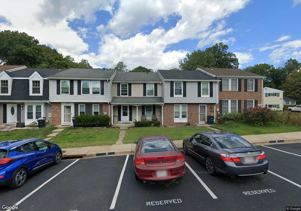
15642 Mews Ct Laurel, MD 20707
Estimated Value: $282,000 - $362,000
--
Bed
4
Baths
1,360
Sq Ft
$235/Sq Ft
Est. Value
About This Home
This home is located at 15642 Mews Ct, Laurel, MD 20707 and is currently estimated at $320,077, approximately $235 per square foot. 15642 Mews Ct is a home located in Prince George's County with nearby schools including Scotchtown Hills Elementary School, Laurel High School, and Chesapeake Math and IT Academy.
Ownership History
Date
Name
Owned For
Owner Type
Purchase Details
Closed on
Oct 24, 2006
Sold by
Goldberg Leonard H and Goldberg Evelyn
Bought by
Goldberg Scott B
Current Estimated Value
Home Financials for this Owner
Home Financials are based on the most recent Mortgage that was taken out on this home.
Original Mortgage
$100,000
Outstanding Balance
$62,393
Interest Rate
7.3%
Mortgage Type
Purchase Money Mortgage
Estimated Equity
$257,684
Purchase Details
Closed on
Aug 22, 2006
Sold by
Goldberg Leonard H and Goldberg Evelyn
Bought by
Goldberg Scott B
Home Financials for this Owner
Home Financials are based on the most recent Mortgage that was taken out on this home.
Original Mortgage
$100,000
Interest Rate
7.3%
Mortgage Type
Purchase Money Mortgage
Purchase Details
Closed on
Jan 26, 1988
Sold by
Fairley Douglas S
Bought by
Goldberg Leonard H and Goldberg Evelyn
Create a Home Valuation Report for This Property
The Home Valuation Report is an in-depth analysis detailing your home's value as well as a comparison with similar homes in the area
Home Values in the Area
Average Home Value in this Area
Purchase History
| Date | Buyer | Sale Price | Title Company |
|---|---|---|---|
| Goldberg Scott B | -- | -- | |
| Goldberg Scott B | -- | -- | |
| Goldberg Leonard H | $97,500 | -- |
Source: Public Records
Mortgage History
| Date | Status | Borrower | Loan Amount |
|---|---|---|---|
| Open | Goldberg Scott B | $100,000 | |
| Previous Owner | Goldberg Scott B | $100,000 |
Source: Public Records
Tax History Compared to Growth
Tax History
| Year | Tax Paid | Tax Assessment Tax Assessment Total Assessment is a certain percentage of the fair market value that is determined by local assessors to be the total taxable value of land and additions on the property. | Land | Improvement |
|---|---|---|---|---|
| 2025 | $4,476 | $280,100 | $90,000 | $190,100 |
| 2024 | $4,476 | $274,900 | $0 | $0 |
| 2023 | $4,397 | $269,700 | $0 | $0 |
| 2022 | $2,941 | $264,500 | $75,000 | $189,500 |
| 2021 | $3,756 | $250,633 | $0 | $0 |
| 2020 | $7,816 | $236,767 | $0 | $0 |
| 2019 | $3,192 | $222,900 | $75,000 | $147,900 |
| 2018 | $3,435 | $219,367 | $0 | $0 |
| 2017 | $3,318 | $215,833 | $0 | $0 |
| 2016 | -- | $212,300 | $0 | $0 |
| 2015 | $3,146 | $204,700 | $0 | $0 |
| 2014 | $3,146 | $197,100 | $0 | $0 |
Source: Public Records
Map
Nearby Homes
- 1210 Westview Terrace
- 7709 Brooklyn Bridge Rd
- 1106 Snowden Place
- 7619 Woodbine Dr
- 15443 Arbory Way
- 7616 Woodbine Dr
- 1103 Montgomery St
- 1002 West Ct
- 211 Patuxent Rd
- 7323 Split Rail Ln
- 15603 Dorset Rd Unit 101
- 200 1/2 11th St
- 7419 Berryleaf Dr
- 15708 Dorset Rd Unit 203
- 15708 Dorset Rd Unit 304
- 7651 E Arbory Ct
- 7681 E Arbory Ct
- 7403 Berryleaf Dr
- 1003 Ward St
- 15712 Dorset Rd Unit T3