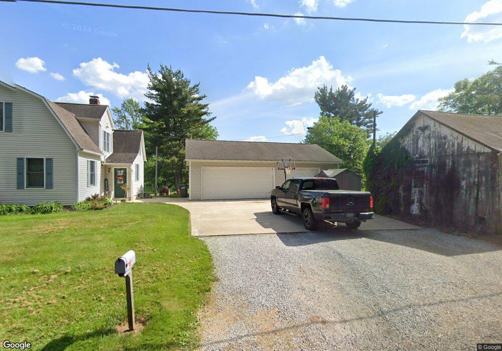
15643 Rehm Rd Orrville, OH 44667
Estimated Value: $228,000 - $335,995
3
Beds
2
Baths
1,200
Sq Ft
$238/Sq Ft
Est. Value
About This Home
This home is located at 15643 Rehm Rd, Orrville, OH 44667 and is currently estimated at $285,249, approximately $237 per square foot. 15643 Rehm Rd is a home located in Wayne County with nearby schools including Orrville Elementary School, Orrville Middle School, and Orrville High School.
Ownership History
Date
Name
Owned For
Owner Type
Purchase Details
Closed on
Jun 8, 2017
Sold by
Longworth Adrianne M
Bought by
Longworth Aaron M
Current Estimated Value
Home Financials for this Owner
Home Financials are based on the most recent Mortgage that was taken out on this home.
Original Mortgage
$140,000
Outstanding Balance
$116,451
Interest Rate
4.02%
Mortgage Type
New Conventional
Estimated Equity
$168,798
Purchase Details
Closed on
Feb 21, 2012
Sold by
Longworth Mary Lou and Longworth Timothy L
Bought by
Longworth Aaron M and Longworth Adrianne M
Home Financials for this Owner
Home Financials are based on the most recent Mortgage that was taken out on this home.
Original Mortgage
$112,000
Interest Rate
3.87%
Mortgage Type
New Conventional
Purchase Details
Closed on
Jun 9, 2003
Sold by
American General Finance Inc
Bought by
Longworth Mary Lou
Create a Home Valuation Report for This Property
The Home Valuation Report is an in-depth analysis detailing your home's value as well as a comparison with similar homes in the area
Home Values in the Area
Average Home Value in this Area
Purchase History
| Date | Buyer | Sale Price | Title Company |
|---|---|---|---|
| Longworth Aaron M | -- | None Available | |
| Longworth Aaron M | $140,000 | Attorney | |
| Longworth Mary Lou | $67,000 | -- |
Source: Public Records
Mortgage History
| Date | Status | Borrower | Loan Amount |
|---|---|---|---|
| Open | Longworth Aaron M | $140,000 | |
| Closed | Longworth Aaron M | $112,000 |
Source: Public Records
Tax History Compared to Growth
Tax History
| Year | Tax Paid | Tax Assessment Tax Assessment Total Assessment is a certain percentage of the fair market value that is determined by local assessors to be the total taxable value of land and additions on the property. | Land | Improvement |
|---|---|---|---|---|
| 2024 | $3,782 | $92,680 | $45,820 | $46,860 |
| 2023 | $3,782 | $92,680 | $45,820 | $46,860 |
| 2022 | $3,043 | $66,670 | $32,960 | $33,710 |
| 2021 | $3,122 | $66,670 | $32,960 | $33,710 |
| 2020 | $3,155 | $66,670 | $32,960 | $33,710 |
| 2019 | $2,164 | $44,020 | $27,410 | $16,610 |
| 2018 | $2,179 | $44,020 | $27,410 | $16,610 |
| 2017 | $2,164 | $44,020 | $27,410 | $16,610 |
| 2016 | $2,184 | $43,230 | $27,410 | $15,820 |
| 2015 | $2,145 | $43,230 | $27,410 | $15,820 |
| 2014 | $2,191 | $43,230 | $27,410 | $15,820 |
| 2013 | $2,690 | $51,450 | $31,880 | $19,570 |
Source: Public Records
Map
Nearby Homes
- 16201 Burton City Rd
- 14990 Back Massillon Rd
- 16450 Church Rd
- 18060 Huprick Rd
- V/L Burton City Rd
- 4125 Deerfield Ave NW
- 548 Center St
- 600 E Paradise St
- 712 Homestead Pointe Dr
- 19043 Shifferly Rd
- 122 E Paradise St
- 738 S Mill St
- 0 Dalton Fox Lake Rd
- 603 S Main St
- 18803 Church Rd
- 223 Tanglewood Dr
- 119 Briarwood Dr
- 408 W Paradise St
- 217 Hall St
- 620 W High St
- 15584 Rehm Rd
- 4243 Mount Eaton Rd
- 4278 Mount Eaton Rd
- 4179 Mount Eaton Rd
- 4291 Mount Eaton Rd
- 4301 Mount Eaton Rd
- 4323 Mount Eaton Rd
- 4201 Mount Eaton Rd
- 15483 Rehm Rd
- 4370 Mount Eaton Rd N
- 4024 Mount Eaton Rd
- 4373 Mount Eaton Rd
- 15431 Rehm Rd
- 4205 Mount Eaton Rd
- 3941 Mount Eaton Rd
- 15321 Rehm Rd
- 3903 Mount Eaton Rd
- 15370 Rehm Rd
- 15268 Rehm Rd
- 15642 Burton City Rd