1565 Bay Tree Ln Unit SB Myrtle Beach, SC 29575
Estimated Value: $393,722 - $452,000
3
Beds
2
Baths
2,304
Sq Ft
$180/Sq Ft
Est. Value
About This Home
This home is located at 1565 Bay Tree Ln Unit SB, Myrtle Beach, SC 29575 and is currently estimated at $415,681, approximately $180 per square foot. 1565 Bay Tree Ln Unit SB is a home located in Horry County with nearby schools including Lakewood Elementary, Socastee Middle, and Socastee High School.
Ownership History
Date
Name
Owned For
Owner Type
Purchase Details
Closed on
Oct 22, 2002
Sold by
Stewart Ralph E and Stewart Terri S
Bought by
Ashworth Alfred H and Ashworth Roberta
Current Estimated Value
Home Financials for this Owner
Home Financials are based on the most recent Mortgage that was taken out on this home.
Original Mortgage
$125,400
Outstanding Balance
$51,688
Interest Rate
5.93%
Mortgage Type
Purchase Money Mortgage
Estimated Equity
$363,993
Create a Home Valuation Report for This Property
The Home Valuation Report is an in-depth analysis detailing your home's value as well as a comparison with similar homes in the area
Home Values in the Area
Average Home Value in this Area
Purchase History
| Date | Buyer | Sale Price | Title Company |
|---|---|---|---|
| Ashworth Alfred H | $156,750 | -- |
Source: Public Records
Mortgage History
| Date | Status | Borrower | Loan Amount |
|---|---|---|---|
| Open | Ashworth Alfred H | $125,400 |
Source: Public Records
Tax History Compared to Growth
Tax History
| Year | Tax Paid | Tax Assessment Tax Assessment Total Assessment is a certain percentage of the fair market value that is determined by local assessors to be the total taxable value of land and additions on the property. | Land | Improvement |
|---|---|---|---|---|
| 2024 | $730 | $14,953 | $5,750 | $9,203 |
| 2023 | $658 | $7,796 | $1,797 | $5,999 |
| 2021 | $638 | $7,965 | $1,797 | $6,168 |
| 2020 | $549 | $7,965 | $1,797 | $6,168 |
| 2019 | $549 | $7,965 | $1,797 | $6,168 |
| 2018 | $473 | $6,779 | $1,707 | $5,072 |
| 2017 | -- | $6,779 | $1,707 | $5,072 |
| 2016 | -- | $6,779 | $1,707 | $5,072 |
| 2015 | $458 | $6,780 | $1,708 | $5,072 |
| 2014 | $423 | $6,780 | $1,708 | $5,072 |
Source: Public Records
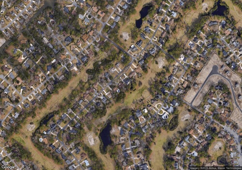
Map
Nearby Homes
- 1619 Gibson Ave
- 1430 Bay Tree Ln
- 1451 Crooked Pine Dr
- 2180 Pettus Way Unit BOC 21
- 2172 Pettus Way Unit BOC 19
- 646 Pacific Commons Dr
- 2220 Pettus Way Unit BOC 29
- 1411 Turkey Ridge Rd Unit 30-B
- 2184 Pettus Way Unit BOC 22
- 2176 Pettus Way Unit BOC 20
- 454 Pacific Commons Dr
- 1801 Crooked Pine Dr Unit H3
- 669 Pacific Commons Dr
- 1361 Turkey Ridge Rd Unit C
- 205 Ocean Commons Dr
- 1817 Crooked Pine Dr Unit F5
- 1840 Fairway Ridge Dr Unit 8F
- 1409 Ashwood Cir
- 1300 Deer Creek Rd Unit B
- 191 Ocean Commons Dr
- 1573 Bay Tree Ln
- 1555 Bay Tree Ln
- 1547 Bay Tree Ln
- 1581 Bay Tree Ln
- 1564 Bay Tree Ln
- 1572 Bay Tree Ln Unit SB
- 1572 Bay Tree Ln Unit Lot 258
- 1554 Bay Tree Ln
- 1580 Bay Tree Ln
- 1539 Bay Tree Ln
- 1593 Bay Tree Ln
- 1546 Bay Tree Ln
- 1592 Bay Tree Ln Unit DEERFIELD
- 1592 Bay Tree Ln
- 1531 Bay Tree Ln Unit MB
- 1538 Bay Tree Ln
- 1601 Bay Tree Ln
- 1548 Crooked Pine Dr
- 1538 Crooked Pine Dr
- 1556 Crooked Pine Dr