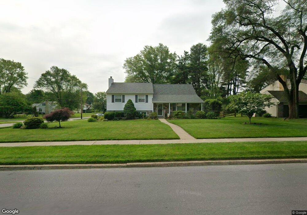
1565 Derry Dr Dresher, PA 19025
Estimated Value: $644,000 - $797,000
About This Home
This home is located at 1565 Derry Dr, Dresher, PA 19025 and is currently estimated at $740,816, approximately $236 per square foot. 1565 Derry Dr is a home located in Montgomery County with nearby schools including Jarrettown Elementary School, Sandy Run Middle School, and Upper Dublin High School.
Ownership History
We collect this data history from publicly available records. To have your information removed, we recommend requesting removal directly through your county’s website.
Purchase Details
Purchase Details
Purchase Details
Purchase Details
Home Values in the Area
Average Home Value in this Area
Purchase History
We collect this data history from publicly available records. To have your information removed, we recommend requesting removal directly through your county’s website.
| Date | Buyer | Sale Price | Title Company |
|---|---|---|---|
| -- | -- | ||
| -- | -- | ||
| -- | -- | ||
| -- | -- |
Mortgage History
We collect this data history from publicly available records. To have your information removed, we recommend requesting removal directly through your county’s website.
| Date | Status | Borrower | Loan Amount |
|---|---|---|---|
| Closed | $0 |
Tax History
We collect this data history from publicly available records. To have your information removed, we recommend requesting removal directly through your county’s website.
| Year | Tax Paid | Tax Assessment Tax Assessment Total Assessment is a certain percentage of the fair market value that is determined by local assessors to be the total taxable value of land and additions on the property. | Land | Improvement |
|---|---|---|---|---|
| 2026 | $11,426 | $216,880 | -- | -- |
| 2025 | $10,576 | $216,880 | $69,810 | $147,070 |
| 2024 | $10,576 | $216,880 | $69,810 | $147,070 |
| 2023 | $10,330 | $216,880 | $69,810 | $147,070 |
| 2022 | $10,104 | $216,880 | $69,810 | $147,070 |
| 2021 | $9,852 | $216,880 | $69,810 | $147,070 |
| 2020 | $9,568 | $216,880 | $69,810 | $147,070 |
| 2019 | $9,408 | $216,880 | $69,810 | $147,070 |
| 2018 | $9,408 | $216,880 | $69,810 | $147,070 |
| 2017 | $9,065 | $216,880 | $69,810 | $147,070 |
| 2016 | $8,980 | $216,880 | $69,810 | $147,070 |
| 2015 | $8,483 | $216,880 | $69,810 | $147,070 |
| 2014 | $8,483 | $216,880 | $69,810 | $147,070 |
Map
- 1525 Limekiln Pike
- 1433 Southwind Way
- 1420 Ringneck Loop
- 1431 Dreshertown Rd Unit 11
- 1608 Brittany Dr
- 1711 Smedley Ct
- 1637 Dillon Rd
- 1500 Salaway Ct
- 1145 Limekiln Pike
- 1833 Perrin Ct
- 120 Cypress St
- 300 Dryden Rd E
- 1531 Fulton Dr
- 214 Brookdale Ct
- 142 Green Valley Cir
- 1021 Meetinghouse Rd
- 1510 Anna Marie Cir Unit 38
- 1619 Shepard Dr
- 1612 Conquest Way
- 1728 Farmview Rd
Ask me questions while you tour the home.