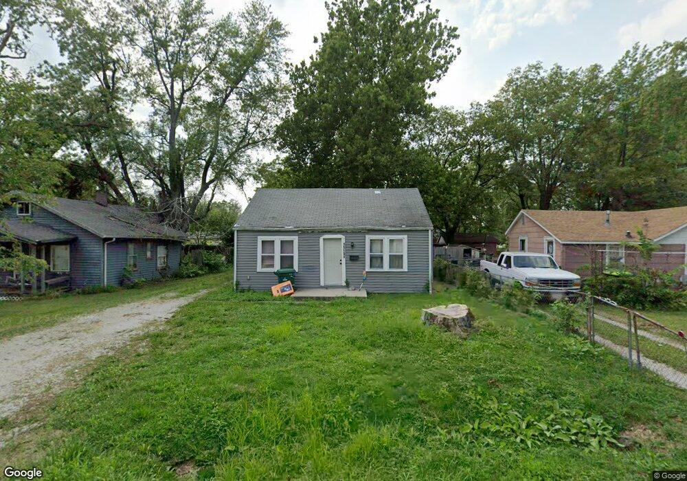
1565 N Wilson Ave Decatur, IL 62526
Ravina Park NeighborhoodEstimated Value: $43,000 - $53,000
2
Beds
1
Bath
772
Sq Ft
$61/Sq Ft
Est. Value
About This Home
This home is located at 1565 N Wilson Ave, Decatur, IL 62526 and is currently estimated at $47,083, approximately $60 per square foot. 1565 N Wilson Ave is a home located in Macon County with nearby schools including Stephen Decatur Middle School and Northwest Christian Campus.
Ownership History
Date
Name
Owned For
Owner Type
Purchase Details
Closed on
Jan 30, 2023
Sold by
J & C Rentals
Bought by
J & B Decatur Foundation Llc
Current Estimated Value
Purchase Details
Closed on
Jan 15, 2019
Sold by
Lincoln Land Illinois Land Trust
Bought by
J J & Cc Enterprises Llc
Purchase Details
Closed on
Aug 31, 2011
Sold by
Nye Charlene
Bought by
Lincoln Land Illinois Land Trust
Purchase Details
Closed on
Jul 11, 2008
Sold by
Holston Nye Charlene A
Bought by
A & J Homes Llc
Purchase Details
Closed on
May 19, 2006
Sold by
Archer Robert Lee and Spaulding Carol L
Bought by
Holston Charlene A
Create a Home Valuation Report for This Property
The Home Valuation Report is an in-depth analysis detailing your home's value as well as a comparison with similar homes in the area
Home Values in the Area
Average Home Value in this Area
Purchase History
| Date | Buyer | Sale Price | Title Company |
|---|---|---|---|
| J & B Decatur Foundation Llc | -- | -- | |
| J J & Cc Enterprises Llc | $25,000 | None Available | |
| Lincoln Land Illinois Land Trust | $7,000 | None Available | |
| A & J Homes Llc | -- | None Available | |
| Holston Charlene A | $20,000 | None Available |
Source: Public Records
Tax History Compared to Growth
Tax History
| Year | Tax Paid | Tax Assessment Tax Assessment Total Assessment is a certain percentage of the fair market value that is determined by local assessors to be the total taxable value of land and additions on the property. | Land | Improvement |
|---|---|---|---|---|
| 2024 | $1,124 | $11,615 | $1,777 | $9,838 |
| 2023 | $1,115 | $11,204 | $1,714 | $9,490 |
| 2022 | $235 | $2,300 | $1,888 | $412 |
| 2021 | $221 | $2,147 | $1,763 | $384 |
| 2020 | $218 | $2,047 | $1,681 | $366 |
| 2019 | $218 | $2,047 | $1,681 | $366 |
| 2018 | $222 | $2,110 | $1,754 | $356 |
| 2017 | $227 | $2,167 | $1,801 | $366 |
| 2016 | $231 | $2,189 | $1,819 | $370 |
| 2015 | $220 | $2,150 | $1,787 | $363 |
| 2014 | $204 | $2,128 | $1,769 | $359 |
| 2013 | $211 | $2,207 | $1,835 | $372 |
Source: Public Records
Map
Nearby Homes
- 1535 N Mcclellan Ave
- 1319 W Waggoner St
- 1530 W Cushing St
- 1645 W Center St
- 1675 W Center St
- 1625 W Garfield Ave
- 933 W Division St
- 1706 W Division St
- 1415 N Dennis Ave
- 1653 N Maple Ave
- 1451 W Marietta St
- 917 N Wilder Ave
- 837 W Grand Ave
- 1524 N Summit Ave
- 644 W Division St
- 2273 N Fairview Ave
- 1545 N Monroe St
- 1504 N Monroe St
- 1720 W Ravina Park Rd
- 1065 W Green St
- 1555 N Wilson Ave
- 1571 N Wilson Ave
- 1560 N Wilson Ave
- 1540 N Wilson Ave
- 1570 N Wilson Ave
- 1268 W Cushing St
- 1520 N Wilson Ave
- 1504 N Wilson Ave
- 1528 N Fairview Ave
- 1274 W Cushing St
- 1250 W Division St
- 1520 N Fairview Ave
- 1232 W Division St
- 1282 W Cushing St
- 1590 N Fairview Ave
- 1282 W Division St
- 1267 W Cushing St
- 1462 N Wilson Ave
- 1535 N University Ave
- 1525 N University Ave