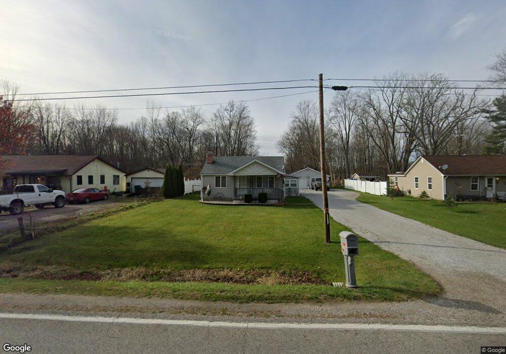
1565 Richman Rd Kimball, MI 48074
Estimated Value: $176,000 - $230,000
2
Beds
1
Bath
1,064
Sq Ft
$188/Sq Ft
Est. Value
About This Home
This home is located at 1565 Richman Rd, Kimball, MI 48074 and is currently estimated at $199,969, approximately $187 per square foot. 1565 Richman Rd is a home located in St. Clair County with nearby schools including Kimball Elementary School, Central Middle School, and Port Huron High School.
Ownership History
Date
Name
Owned For
Owner Type
Purchase Details
Closed on
Jun 23, 2020
Sold by
Nelson Donald and Nelson Scott J
Bought by
Frazzitta Bowlin Danielle R
Current Estimated Value
Home Financials for this Owner
Home Financials are based on the most recent Mortgage that was taken out on this home.
Original Mortgage
$132,456
Interest Rate
3%
Mortgage Type
FHA
Create a Home Valuation Report for This Property
The Home Valuation Report is an in-depth analysis detailing your home's value as well as a comparison with similar homes in the area
Home Values in the Area
Average Home Value in this Area
Purchase History
| Date | Buyer | Sale Price | Title Company |
|---|---|---|---|
| Frazzitta Bowlin Danielle R | $134,900 | Visionary Title Agency Llc |
Source: Public Records
Mortgage History
| Date | Status | Borrower | Loan Amount |
|---|---|---|---|
| Previous Owner | Frazzitta Bowlin Danielle R | $132,456 |
Source: Public Records
Tax History
| Year | Tax Paid | Tax Assessment Tax Assessment Total Assessment is a certain percentage of the fair market value that is determined by local assessors to be the total taxable value of land and additions on the property. | Land | Improvement |
|---|---|---|---|---|
| 2025 | $1,023 | $85,800 | $0 | $0 |
| 2024 | $993 | $78,900 | $0 | $0 |
| 2023 | $910 | $76,600 | $0 | $0 |
| 2022 | $1,566 | $67,900 | $0 | $0 |
| 2020 | $0 | $57,800 | $0 | $0 |
| 2019 | $0 | $0 | $0 | $0 |
| 2018 | $0 | $0 | $0 | $0 |
| 2017 | $0 | $0 | $0 | $0 |
| 2016 | $0 | $0 | $0 | $0 |
| 2015 | -- | $0 | $0 | $0 |
| 2014 | -- | $31,600 | $31,600 | $0 |
| 2013 | -- | $41,600 | $0 | $0 |
Source: Public Records
Map
Nearby Homes
- 0 Richman Rd Unit 50197304
- 1900 Burns Rd
- 6776 Ravenswood Rd
- 6417 Dove Rd
- 0 Sparling Rd Unit 2210034403
- 6376 Ravenswood Rd
- 0 Sparling Unit 20230091288
- 7330 Smiths Creek Rd
- 00 Griswold Rd
- 8237 Lambs Rd
- 2007 Edward Ln E
- 2047 Edward Ln E
- I-69 vac Taylor Dr
- 1948 Meadowlark Ln
- 1906 Morningstar Ave
- 00 Smiths Creek Rd Smiths Creek Rd
- 6987 Lapeer Rd
- 6550 Lapeer Rd
- 0000 Conrad Dr
- 656 Wadhams Rd
- 1557 Richman Rd
- 1549 Richman Rd
- 1581 Richman Rd
- 1541 Richman Rd
- 1589 Richman Rd
- 1532 Richman Rd
- 1597 Richman Rd
- 1525 Richman Rd
- 1522 Richman Rd
- 1605 Richman Rd
- 1512 Richman Rd
- 1613 Richman Rd
- 1517 Richman Rd
- 1502 Richman Rd
- 1505 Richman Rd
- 1621 Richman Rd
- 1625 Richman Rd
- 1490 Richman Rd
- 1629 Richman Rd
- 6975 Dove Rd
Your Personal Tour Guide
Ask me questions while you tour the home.