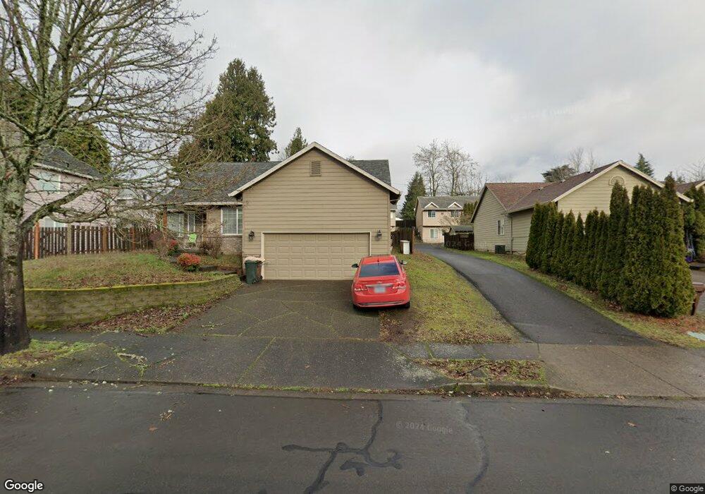
1565 SW 1st Ct Gresham, OR 97080
Hollybrook NeighborhoodEstimated Value: $433,582 - $521,000
4
Beds
3
Baths
1,650
Sq Ft
$286/Sq Ft
Est. Value
About This Home
This home is located at 1565 SW 1st Ct, Gresham, OR 97080 and is currently estimated at $472,146, approximately $286 per square foot. 1565 SW 1st Ct is a home located in Multnomah County with nearby schools including Hollydale Elementary School, Clear Creek Middle School, and Gresham High School.
Ownership History
Date
Name
Owned For
Owner Type
Purchase Details
Closed on
Nov 29, 1999
Sold by
Hite Michael R
Bought by
Murphy Dennis and Murphy Michele
Current Estimated Value
Home Financials for this Owner
Home Financials are based on the most recent Mortgage that was taken out on this home.
Original Mortgage
$125,600
Outstanding Balance
$26,659
Interest Rate
3.85%
Mortgage Type
Purchase Money Mortgage
Estimated Equity
$445,487
Purchase Details
Closed on
Apr 20, 1995
Sold by
Cordell Construction Inc
Bought by
Hite Michael R and Hite Becky L
Home Financials for this Owner
Home Financials are based on the most recent Mortgage that was taken out on this home.
Original Mortgage
$101,500
Interest Rate
10.37%
Mortgage Type
Purchase Money Mortgage
Create a Home Valuation Report for This Property
The Home Valuation Report is an in-depth analysis detailing your home's value as well as a comparison with similar homes in the area
Home Values in the Area
Average Home Value in this Area
Purchase History
| Date | Buyer | Sale Price | Title Company |
|---|---|---|---|
| Murphy Dennis | $157,000 | First American Title Co | |
| Hite Michael R | $145,000 | First American Title Ins Co | |
| Cordell Construction Inc | -- | First American Title Ins Co |
Source: Public Records
Mortgage History
| Date | Status | Borrower | Loan Amount |
|---|---|---|---|
| Open | Murphy Dennis | $125,600 | |
| Previous Owner | Hite Michael R | $101,500 |
Source: Public Records
Tax History
| Year | Tax Paid | Tax Assessment Tax Assessment Total Assessment is a certain percentage of the fair market value that is determined by local assessors to be the total taxable value of land and additions on the property. | Land | Improvement |
|---|---|---|---|---|
| 2025 | $5,537 | $272,100 | -- | -- |
| 2024 | $5,300 | $264,180 | -- | -- |
| 2023 | $5,300 | $256,490 | -- | -- |
| 2022 | $4,694 | $249,020 | $0 | $0 |
| 2021 | $4,576 | $241,770 | $0 | $0 |
| 2020 | $4,305 | $234,730 | $0 | $0 |
| 2019 | $4,193 | $227,900 | $0 | $0 |
| 2018 | $3,998 | $221,270 | $0 | $0 |
| 2017 | $3,836 | $214,830 | $0 | $0 |
| 2016 | $3,379 | $208,580 | $0 | $0 |
| 2015 | $3,125 | $196,730 | $0 | $0 |
| 2014 | $2,876 | $180,030 | $0 | $0 |
Source: Public Records
Map
Nearby Homes
- 1113 W Powell Blvd
- 44 SW Birdsdale Dr
- 159 SW Florence Ave Unit 64
- 159 SW Florence Ave
- 2095 NW 3rd St
- 230 NW Mawrcrest Ave
- 765 NW Angeline Ave
- 236 NW Mawrcrest Ave
- 21 NW Mawrcrest Ave
- 256 NW Mawrcrest Ave
- 63 NW Mawrcrest Ave
- 85 NW Mawrcrest Ave
- 284 NW Mawrcrest Ave
- 296 NW Mawrcrest Ave
- 1745 NW 7th Place
- 181 NW Mawrcrest Ave
- 185 NW Mawrcrest Ave
- 645 W Powell Blvd
- 638 SW 7th St
- 2543 NW 2nd Terrace
- 1555 SW 1st Ct
- 1585 SW 1st Ct
- 1545 SW 1st Ct
- 1610 W Powell Blvd
- 1605 SW 1st Ct
- 1525 SW 1st Ct
- 1535 SW 1st Ct
- 1625 SW 1st Ct
- 1515 SW 1st Ct
- 1645 SW 1st Ct
- 1640 W Powell Blvd
- 1505 SW 1st Ct
- 1545 W Powell Blvd
- 1582 SW 1st Ct
- 1602 SW 1st Ct
- 1542 SW 1st Ct
- 1611 W Powell Blvd
- 1532 SW 1st Ct
- 1622 SW 1st Ct
- 1512 SW 1st Ct
Your Personal Tour Guide
Ask me questions while you tour the home.