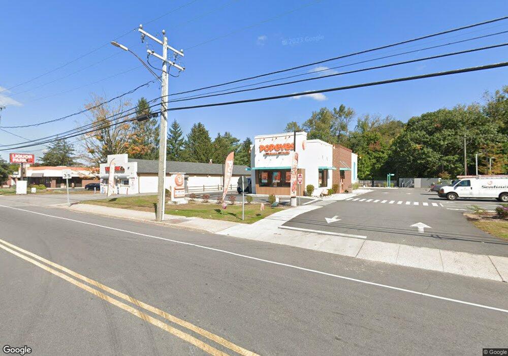
1565 W Main St Windham, CT 06226
--
Bed
--
Bath
2,362
Sq Ft
0.77
Acres
About This Home
This home is located at 1565 W Main St, Windham, CT 06226. 1565 W Main St is a home located in Windham County with nearby schools including Windham Middle School, Windham High School, and Oak Grove Montessori School.
Ownership History
Date
Name
Owned For
Owner Type
Purchase Details
Closed on
Dec 21, 2020
Sold by
Denning Kenneth J
Bought by
1565 W M Llc
Purchase Details
Closed on
Jul 3, 2018
Sold by
Denning Kenneth J
Bought by
1565 West Main Llc
Home Financials for this Owner
Home Financials are based on the most recent Mortgage that was taken out on this home.
Original Mortgage
$400,000
Interest Rate
4.6%
Mortgage Type
New Conventional
Purchase Details
Closed on
Dec 13, 2004
Sold by
Haddad Michael
Bought by
Denning Kenneth J
Purchase Details
Closed on
Jun 3, 1994
Sold by
Nygin Corp
Bought by
Haddad Michael
Create a Home Valuation Report for This Property
The Home Valuation Report is an in-depth analysis detailing your home's value as well as a comparison with similar homes in the area
Home Values in the Area
Average Home Value in this Area
Purchase History
| Date | Buyer | Sale Price | Title Company |
|---|---|---|---|
| 1565 W M Llc | -- | None Available | |
| 1565 W M Llc | -- | None Available | |
| 1565 West Main Llc | -- | -- | |
| 1565 West Main Llc | -- | -- | |
| Denning Kenneth J | $300,000 | -- | |
| Denning Kenneth J | $300,000 | -- | |
| Haddad Michael | $165,000 | -- | |
| Haddad Michael | $165,000 | -- |
Source: Public Records
Mortgage History
| Date | Status | Borrower | Loan Amount |
|---|---|---|---|
| Previous Owner | Haddad Michael | $400,000 | |
| Previous Owner | Haddad Michael | $194,500 |
Source: Public Records
Tax History Compared to Growth
Tax History
| Year | Tax Paid | Tax Assessment Tax Assessment Total Assessment is a certain percentage of the fair market value that is determined by local assessors to be the total taxable value of land and additions on the property. | Land | Improvement |
|---|---|---|---|---|
| 2025 | $27,500 | $742,850 | $272,870 | $469,980 |
| 2024 | $27,530 | $742,850 | $272,870 | $469,980 |
| 2023 | $33,887 | $714,920 | $38,700 | $676,220 |
| 2022 | $33,387 | $714,920 | $38,700 | $676,220 |
| 2021 | $13,066 | $260,860 | $38,700 | $222,160 |
| 2020 | $13,038 | $260,860 | $38,700 | $222,160 |
| 2019 | $12,826 | $260,860 | $38,700 | $222,160 |
| 2017 | $9,022 | $189,490 | $39,070 | $150,420 |
| 2015 | $6,509 | $189,490 | $39,070 | $150,420 |
| 2014 | $8,230 | $189,490 | $39,070 | $150,420 |
Source: Public Records
Map
Nearby Homes
- 73 Holbrook Ave
- 29 Kathleen Dr Unit 5E
- 384 Prospect St
- 16 Thornbush Rd
- 77 Woods Rd
- 98 Windham St
- 81 Stafford Rd
- 27 Briar Cliff Rd
- 399 High St
- 389 Pleasant St
- 335 Pleasant St
- 59 Chestnut St
- 40 Adams Heights Rd
- 0 Oak Dr Unit LOT 33
- 209 Church St
- 289 Church St
- 76 Highland Rd
- 23 Circle Dr
- 26 Maple Ave
- 366 Ash St Unit 2