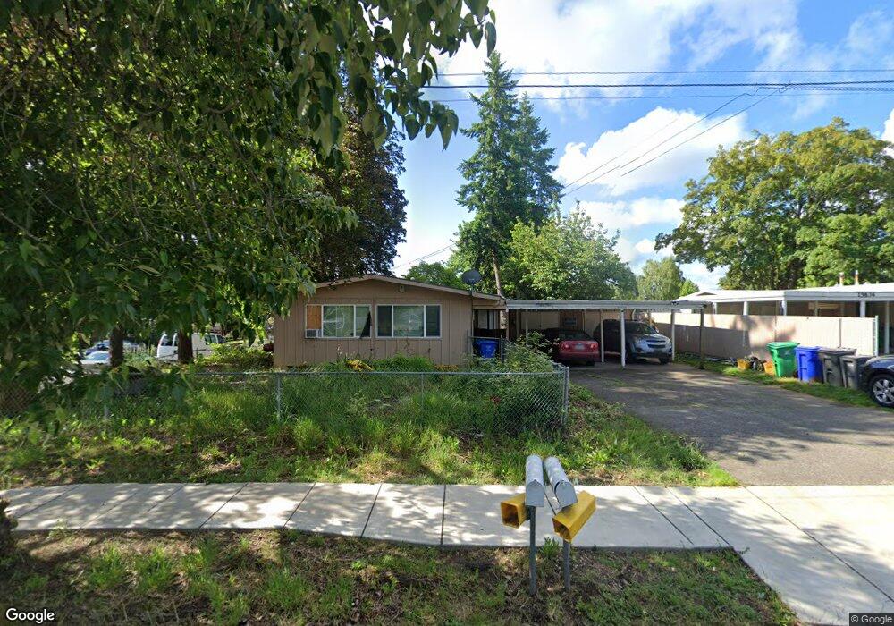
15650 E Burnside St Portland, OR 97233
Glenfair NeighborhoodEstimated Value: $355,000 - $444,000
4
Beds
2
Baths
1,480
Sq Ft
$274/Sq Ft
Est. Value
About This Home
This home is located at 15650 E Burnside St, Portland, OR 97233 and is currently estimated at $404,790, approximately $273 per square foot. 15650 E Burnside St is a home located in Multnomah County with nearby schools including Glenfair Elementary School, Hauton B Lee Middle School, and Reynolds High School.
Ownership History
Date
Name
Owned For
Owner Type
Purchase Details
Closed on
Nov 13, 1996
Sold by
Cantrell Fredrick P
Bought by
Dole Christine A and Dole Timothy G
Current Estimated Value
Home Financials for this Owner
Home Financials are based on the most recent Mortgage that was taken out on this home.
Original Mortgage
$72,593
Interest Rate
8.06%
Mortgage Type
Seller Take Back
Purchase Details
Closed on
Sep 30, 1981
Sold by
Davis Mark H
Bought by
Cantrell Fredrick P and Cantrell Peggy L
Create a Home Valuation Report for This Property
The Home Valuation Report is an in-depth analysis detailing your home's value as well as a comparison with similar homes in the area
Home Values in the Area
Average Home Value in this Area
Purchase History
| Date | Buyer | Sale Price | Title Company |
|---|---|---|---|
| Dole Christine A | $95,000 | Chicago Title | |
| Cantrell Fredrick P | $62,000 | -- |
Source: Public Records
Mortgage History
| Date | Status | Borrower | Loan Amount |
|---|---|---|---|
| Closed | Dole Christine A | $72,593 |
Source: Public Records
Tax History Compared to Growth
Tax History
| Year | Tax Paid | Tax Assessment Tax Assessment Total Assessment is a certain percentage of the fair market value that is determined by local assessors to be the total taxable value of land and additions on the property. | Land | Improvement |
|---|---|---|---|---|
| 2025 | $4,541 | $194,160 | -- | -- |
| 2024 | $4,311 | $188,510 | -- | -- |
| 2023 | $4,143 | $183,020 | $0 | $0 |
| 2022 | $4,080 | $177,690 | $0 | $0 |
| 2021 | $4,027 | $172,520 | $0 | $0 |
| 2020 | $3,635 | $167,500 | $0 | $0 |
| 2019 | $3,450 | $162,630 | $0 | $0 |
| 2018 | $3,418 | $157,900 | $0 | $0 |
| 2017 | $3,297 | $153,310 | $0 | $0 |
| 2016 | $3,098 | $148,850 | $0 | $0 |
| 2015 | $2,796 | $144,520 | $0 | $0 |
| 2014 | $2,763 | $140,320 | $0 | $0 |
Source: Public Records
Map
Nearby Homes
- 15590 E Burnside St
- 15557 E Burnside St
- 15541 E Burnside St
- 15544 NE Couch St Unit 15546
- 15540 NE Couch St Unit 15542
- 226 SE 157th Ave
- 326 SE 154th Ave
- 116 SE 153rd Ave
- 226 NE 157th Ave
- 15725 SE Stark St
- 15260 NE Couch Ct
- 236 NE 156th Ave Unit A & B
- 205 NE 160th Ave
- 15220 NE Couch Ct
- 341 SE 153rd Ave
- 15131 E Burnside St
- 15133 E Burnside St
- 15135 E Burnside St
- 15139 E Burnside St
- 15153 E Burnside St
- 15636 E Burnside St
- 105 SE 157th Ave
- 111 SE Ankeny Cir
- 15706 E Burnside St
- 15622 E Burnside St
- 15622 E Burnside St Unit A&B
- 15622 E Burnside St Unit 2
- 119 SE Ankeny Cir
- 15724 E Burnside St
- 112 SE 157th Ave
- 15602 E Burnside St
- 108 SE Ankeny Cir
- 127 SE Ankeny Cir
- 15631 E Burnside St Unit B
- 15631 E Burnside St Unit A
- 15707 E Burnside St
- 112 SE Ankeny Cir
- 1517 NE 157th Ave
- 15625 E Burnside St Unit 15627
- 210 SE 157th Ave