15653 Whitehead Rd Lagrange, OH 44050
Estimated Value: $403,000 - $603,000
3
Beds
3
Baths
2,216
Sq Ft
$230/Sq Ft
Est. Value
About This Home
This home is located at 15653 Whitehead Rd, Lagrange, OH 44050 and is currently estimated at $509,356, approximately $229 per square foot. 15653 Whitehead Rd is a home with nearby schools including Keystone Elementary School, Keystone Middle School, and Keystone High School.
Ownership History
Date
Name
Owned For
Owner Type
Purchase Details
Closed on
Jun 16, 2011
Sold by
Stiner Kenneth J and Stiner Kelly M
Bought by
Kipp Seth and Kipp Carie
Current Estimated Value
Purchase Details
Closed on
Nov 6, 2008
Sold by
Stiner & Sons Construction Inc
Bought by
Stiner Kenneth J
Purchase Details
Closed on
Jun 3, 2003
Sold by
Ksenich George Edward
Bought by
Stiner & Sons Construction Inc
Home Financials for this Owner
Home Financials are based on the most recent Mortgage that was taken out on this home.
Original Mortgage
$270,000
Interest Rate
5.9%
Mortgage Type
Purchase Money Mortgage
Create a Home Valuation Report for This Property
The Home Valuation Report is an in-depth analysis detailing your home's value as well as a comparison with similar homes in the area
Home Values in the Area
Average Home Value in this Area
Purchase History
| Date | Buyer | Sale Price | Title Company |
|---|---|---|---|
| Kipp Seth | $54,000 | True Title Agency Inc | |
| Stiner Kenneth J | -- | True Title Agency Inc | |
| Stiner & Sons Construction Inc | -- | Lorain County Title Co Inc |
Source: Public Records
Mortgage History
| Date | Status | Borrower | Loan Amount |
|---|---|---|---|
| Previous Owner | Stiner & Sons Construction Inc | $270,000 |
Source: Public Records
Tax History
| Year | Tax Paid | Tax Assessment Tax Assessment Total Assessment is a certain percentage of the fair market value that is determined by local assessors to be the total taxable value of land and additions on the property. | Land | Improvement |
|---|---|---|---|---|
| 2024 | $6,497 | $156,184 | $40,831 | $115,353 |
| 2023 | $7,147 | $143,917 | $39,043 | $104,874 |
| 2022 | $7,097 | $143,917 | $39,043 | $104,874 |
| 2021 | $7,098 | $143,917 | $39,043 | $104,874 |
| 2020 | $6,274 | $113,410 | $30,770 | $82,640 |
| 2019 | $6,237 | $113,410 | $30,770 | $82,640 |
| 2018 | $6,143 | $113,410 | $30,770 | $82,640 |
| 2017 | $6,192 | $107,990 | $26,240 | $81,750 |
| 2016 | $6,152 | $107,990 | $26,240 | $81,750 |
| 2015 | $6,143 | $107,990 | $26,240 | $81,750 |
| 2014 | $4,798 | $96,080 | $24,760 | $71,320 |
| 2013 | $4,653 | $96,080 | $24,760 | $71,320 |
Source: Public Records
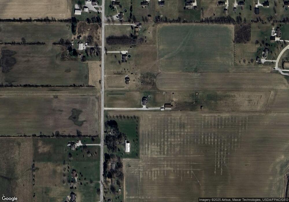
Map
Nearby Homes
- 340 Granger Dr
- 567 Vicksburg Ct
- 829 Robinson Dr
- 516 Appomattox Ct
- 548 William St
- 808 Buckingham Dr
- 800 Buckingham Dr
- 317 Church St
- 305 W Main St
- 801 Willich Ct
- 110 Railroad St
- 0 Dill Ct Unit 5072837
- 40175 Banks Rd
- 43902 State Route 303
- 40163 Banks Rd
- 40260 Whitney Rd
- 41341 Ravines Edge Way
- 16974 Hawley Rd
- 43915 State Route 511
- 704 Black Bear Run
- 15562 Whitehead Rd
- 15581 Whitehead Rd
- 15733 Whitehead Rd
- 15505 Whitehead Rd
- 15779 Whitehead Rd
- 15544 Whitehead Rd
- 15756 Whitehead Rd
- 15803 Whitehead Rd
- 41725 Rachael Dr
- 15792 Whitehead Rd
- 41801 Rachael Dr
- 41687 Rachael Dr
- 15450 Whitehead Rd
- 15853 Whitehead Rd
- 15824 Whitehead Rd
- 41649 Rachael Dr
- 15861 Whitehead Rd
- 15308 Rhonda Ln
- 41611 Rachael Dr
- 41766 Rachael Dr
Your Personal Tour Guide
Ask me questions while you tour the home.