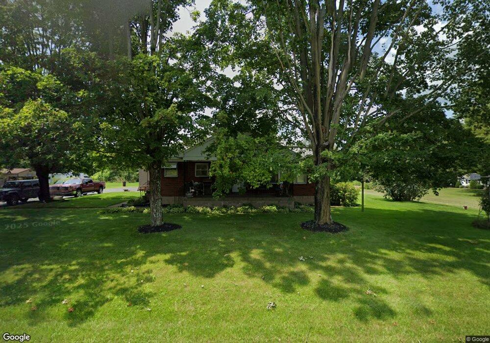
15655 State Route 405 Watsontown, PA 17777
Estimated Value: $85,581 - $292,000
--
Bed
--
Bath
--
Sq Ft
0.51
Acres
About This Home
This home is located at 15655 State Route 405, Watsontown, PA 17777 and is currently estimated at $190,645. 15655 State Route 405 is a home located in Northumberland County with nearby schools including Warrior Run High School, Watsontown Christian Academy, and Sunny Crest School.
Ownership History
Date
Name
Owned For
Owner Type
Purchase Details
Closed on
Mar 29, 2010
Sold by
Bryson Don L and Bryson Jean E
Bought by
Heintzelman Corey B and Heintzelman Crystal Lee
Current Estimated Value
Home Financials for this Owner
Home Financials are based on the most recent Mortgage that was taken out on this home.
Original Mortgage
$60,000
Outstanding Balance
$40,199
Interest Rate
5.12%
Mortgage Type
Purchase Money Mortgage
Estimated Equity
$150,446
Create a Home Valuation Report for This Property
The Home Valuation Report is an in-depth analysis detailing your home's value as well as a comparison with similar homes in the area
Home Values in the Area
Average Home Value in this Area
Purchase History
| Date | Buyer | Sale Price | Title Company |
|---|---|---|---|
| Heintzelman Corey B | $60,000 | None Available |
Source: Public Records
Mortgage History
| Date | Status | Borrower | Loan Amount |
|---|---|---|---|
| Open | Heintzelman Corey B | $60,000 |
Source: Public Records
Tax History Compared to Growth
Tax History
| Year | Tax Paid | Tax Assessment Tax Assessment Total Assessment is a certain percentage of the fair market value that is determined by local assessors to be the total taxable value of land and additions on the property. | Land | Improvement |
|---|---|---|---|---|
| 2025 | $2,442 | $19,850 | $1,720 | $18,130 |
| 2024 | $2,268 | $19,850 | $1,720 | $18,130 |
| 2023 | $2,268 | $19,850 | $1,720 | $18,130 |
| 2022 | $2,225 | $19,850 | $1,720 | $18,130 |
| 2021 | $2,177 | $19,850 | $1,720 | $18,130 |
| 2020 | $2,149 | $19,850 | $1,720 | $18,130 |
| 2019 | $2,075 | $19,850 | $1,720 | $18,130 |
| 2018 | $2,059 | $19,850 | $1,720 | $18,130 |
| 2017 | $1,951 | $19,850 | $1,720 | $18,130 |
| 2016 | -- | $19,850 | $1,720 | $18,130 |
| 2015 | -- | $19,850 | $1,720 | $18,130 |
| 2014 | -- | $19,850 | $1,720 | $18,130 |
Source: Public Records
Map
Nearby Homes
- 3985 River Rd
- 6520 Musser Ln
- 1405 Cemetery Hill Rd
- 87 W Houston Ave
- 261 Delaware Dr
- 21 W Houston Ave
- 16 Brook St
- 60 Melvina St
- 53 E Houston Ave
- 47 N Main St
- 53 N Main St
- 65 E Houston Ave
- 77 E Houston Ave
- 2695 Turbot Ave
- 4 Blue Jay Dr
- 2000 Pinchtown Rd
- 7 Alvira Ct
- 200 Eagle Ln
- 246 Bridge Ave
- 0 Us Route 15 Hwy
- 15615 State Route 405
- 15695 State Route 405
- 15595 State Route 405
- 15580 State Route 405
- 15730 State Route 405
- 15590 State Route 405
- 15510 State Route 405
- 15795 State Route 405
- 15470 State Route 405
- 50 Stoney Batter Rd
- 55 Fogelmans Grove Rd
- 15430 State Route 405
- 193 Stoney Batter Rd
- 63 Fogelmans Grove Rd
- 15350 State Route 405
- 181 Graces Way
- 179 Houser Ln
- 163 Graces Way
- 15280 State Route 405
- 222 Rupert Ln