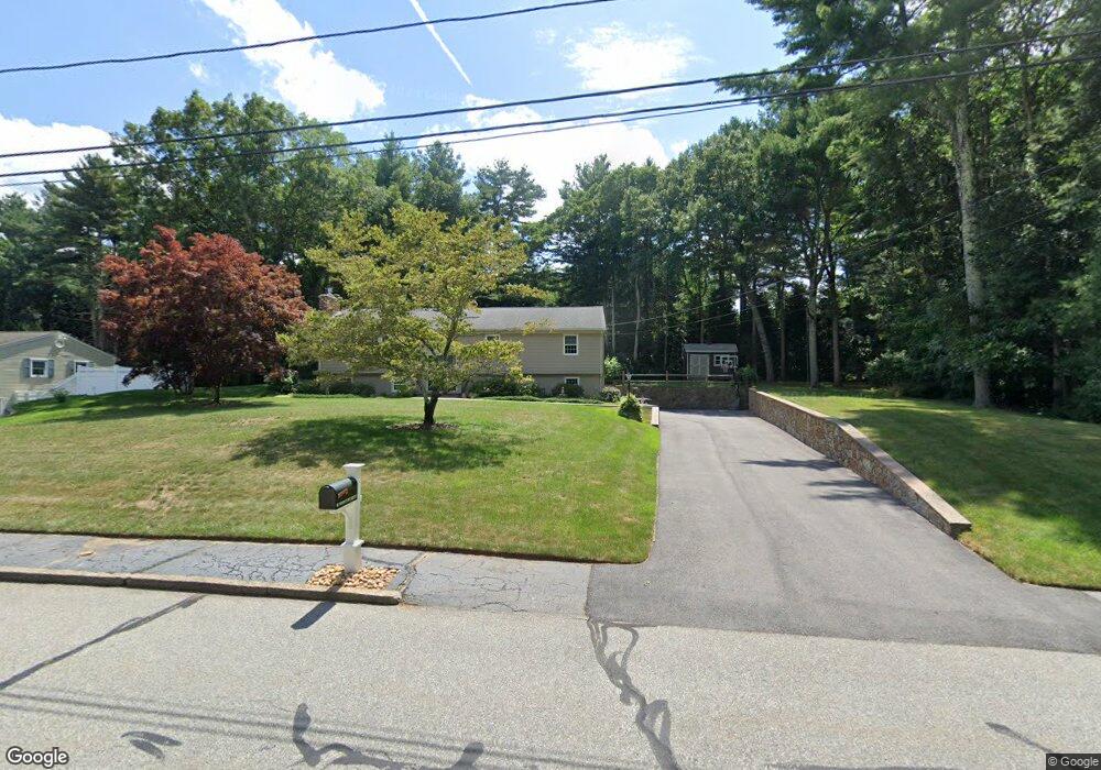
1566 Hill Farm Rd Coventry, RI 02816
Estimated Value: $919,000 - $1,298,000
3
Beds
4
Baths
3,586
Sq Ft
$304/Sq Ft
Est. Value
About This Home
This home is located at 1566 Hill Farm Rd, Coventry, RI 02816 and is currently estimated at $1,090,441, approximately $304 per square foot. 1566 Hill Farm Rd is a home located in Kent County with nearby schools including Alan Shawn Feinstein Ms Of Cov, Coventry High School, and Father John V. Doyle School.
Ownership History
Date
Name
Owned For
Owner Type
Purchase Details
Closed on
Mar 13, 1996
Sold by
Kalashian Milton E
Bought by
Colagiovanni Steven M
Current Estimated Value
Purchase Details
Closed on
Apr 25, 1995
Sold by
Kalashian Milton E
Bought by
Hebert Katherine C
Purchase Details
Closed on
Jun 22, 1989
Sold by
Crystal Restoration
Bought by
Kalashian Milton
Create a Home Valuation Report for This Property
The Home Valuation Report is an in-depth analysis detailing your home's value as well as a comparison with similar homes in the area
Home Values in the Area
Average Home Value in this Area
Purchase History
| Date | Buyer | Sale Price | Title Company |
|---|---|---|---|
| Colagiovanni Steven M | $297,000 | -- | |
| Hebert Katherine C | $12,000 | -- | |
| Kalashian Milton | $390,000 | -- |
Source: Public Records
Mortgage History
| Date | Status | Borrower | Loan Amount |
|---|---|---|---|
| Closed | Kalashian Milton | $153,300 | |
| Closed | Kalashian Milton | $189,000 | |
| Closed | Kalashian Milton | $195,000 |
Source: Public Records
Tax History Compared to Growth
Tax History
| Year | Tax Paid | Tax Assessment Tax Assessment Total Assessment is a certain percentage of the fair market value that is determined by local assessors to be the total taxable value of land and additions on the property. | Land | Improvement |
|---|---|---|---|---|
| 2024 | $14,592 | $921,200 | $497,600 | $423,600 |
| 2023 | $14,122 | $921,200 | $497,600 | $423,600 |
| 2022 | $13,506 | $696,200 | $446,500 | $249,700 |
| 2021 | $13,506 | $696,200 | $446,500 | $249,700 |
| 2020 | $15,483 | $696,200 | $446,500 | $249,700 |
| 2019 | $11,380 | $511,700 | $297,500 | $214,200 |
| 2018 | $11,058 | $511,700 | $297,500 | $214,200 |
| 2017 | $10,735 | $511,700 | $297,500 | $214,200 |
| 2016 | $10,551 | $492,800 | $258,400 | $234,400 |
| 2015 | $10,294 | $494,200 | $259,800 | $234,400 |
| 2014 | $10,082 | $494,200 | $259,800 | $234,400 |
| 2013 | $9,461 | $507,000 | $275,100 | $231,900 |
Source: Public Records
Map
Nearby Homes
- 89 Wisteria Dr
- 50 Isle of Capri Rd
- 17 Wood Cove Dr
- 2 Huckleberry Rd
- 76 Lakehurst Dr
- 95 Lakehurst Dr
- 2 Pine Way Blvd
- 187 Lakehurst Dr
- 40 Leisure Way
- 8 Comfort Way
- 14 Pine Way Blvd
- 7 Circle Dr
- 6 Sherwood Valley Ln
- 1 Boyd Brook Cir
- 4 Boyd Brook Cir
- 18 Pine Way Blvd
- 6 Pine Way Blvd
- 4 Pine Way Blvd
- 3 Boyd Brook Cir
- 6 Ln 1
- 46 Wood Cove Dr
- 44 Wood Cove Dr
- 48 Wood Cove Dr
- 42 Wood Cove Dr
- 1560 Hill Farm Rd
- 1600 Hill Farm Rd
- 47 Wood Cove Dr
- 40 Wood Cove Dr
- 45 Wood Cove Dr
- 50 Woodcove Dr
- 50 Wood Cove Dr
- 43 Wood Cove Dr
- 83 Wisteria Dr
- 38 Wood Cove Dr
- 85 Wisteria Dr
- 51 Wood Cove Dr
- 41 Wood Cove Dr
- 81 Wisteria Dr
- 52 Wood Cove Dr
- 44 Magnolia Ln