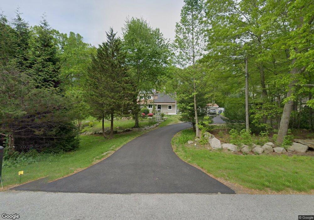
1566 Route 12 Gales Ferry, CT 06335
Estimated Value: $330,000 - $423,000
2
Beds
1
Bath
1,144
Sq Ft
$326/Sq Ft
Est. Value
About This Home
This home is located at 1566 Route 12, Gales Ferry, CT 06335 and is currently estimated at $372,500, approximately $325 per square foot. 1566 Route 12 is a home located in New London County with nearby schools including Ledyard Middle School, Ledyard High School, and Academy Of St Therese.
Ownership History
Date
Name
Owned For
Owner Type
Purchase Details
Closed on
Aug 12, 1993
Sold by
Powell Brian and Powell Gail
Bought by
Smith Scott
Current Estimated Value
Create a Home Valuation Report for This Property
The Home Valuation Report is an in-depth analysis detailing your home's value as well as a comparison with similar homes in the area
Home Values in the Area
Average Home Value in this Area
Purchase History
| Date | Buyer | Sale Price | Title Company |
|---|---|---|---|
| Smith Scott | $28,000 | -- |
Source: Public Records
Mortgage History
| Date | Status | Borrower | Loan Amount |
|---|---|---|---|
| Closed | Smith Scott | $30,000 | |
| Closed | Smith Scott | $57,500 | |
| Closed | Smith Scott | $87,600 | |
| Closed | Smith Scott | $104,400 |
Source: Public Records
Tax History Compared to Growth
Tax History
| Year | Tax Paid | Tax Assessment Tax Assessment Total Assessment is a certain percentage of the fair market value that is determined by local assessors to be the total taxable value of land and additions on the property. | Land | Improvement |
|---|---|---|---|---|
| 2025 | $4,885 | $131,530 | $42,070 | $89,460 |
| 2024 | $4,631 | $131,530 | $42,070 | $89,460 |
| 2023 | $4,546 | $131,530 | $42,070 | $89,460 |
| 2022 | $4,448 | $131,530 | $42,070 | $89,460 |
| 2021 | $4,419 | $131,530 | $42,070 | $89,460 |
| 2020 | $4,382 | $125,300 | $44,380 | $80,920 |
| 2019 | $4,393 | $125,300 | $44,380 | $80,920 |
| 2018 | $4,297 | $125,300 | $44,380 | $80,920 |
| 2017 | $4,077 | $125,300 | $44,380 | $80,920 |
| 2016 | $3,997 | $125,300 | $44,380 | $80,920 |
| 2015 | $3,809 | $125,300 | $44,380 | $80,920 |
| 2014 | $3,900 | $129,780 | $46,760 | $83,020 |
Source: Public Records
Map
Nearby Homes
- 932 Long Cove Rd Unit TRLR 4
- 82 Christy Hill Rd
- 17 Inchcliffe Dr
- 1513 Connecticut 12
- 1010 Long Cove Rd
- 14 Woodland Ln
- 47 Norman Dr
- 7 Harvard Rd
- 16 Marty's Way
- 2 Garden Ct
- 1260 Route 12
- 11 Marty's Way
- 25 Marty's Way
- 27 Marty's Way
- 18 Marty's Way
- 64 Scotch Cap Rd Unit 102
- 95 Murphys Dr Unit 95
- 7 Briarwood Ct
- 205 Old Norwich Rd
- 170 Depot Rd
- 1560 Route 12
- 1568 Route 12
- 1558 Route 12
- 1554 Route 12
- 1572 Route 12
- 1556 Route 12
- 1559 Route 12
- 1555 Route 12
- 1561 Connecticut 12
- 2 Van Tassel Dr
- 1561 Route 12
- 1552 Route 12
- 11 Van Tassel Dr
- 1573 Route 12
- 932 Long Cove Rd
- 932 Long Cove Rd Unit 3
- 932 Long Cove Rd Unit 5
- 932 Long Cove Rd
- 1553 Route 12
- 14 Van Tassel Dr