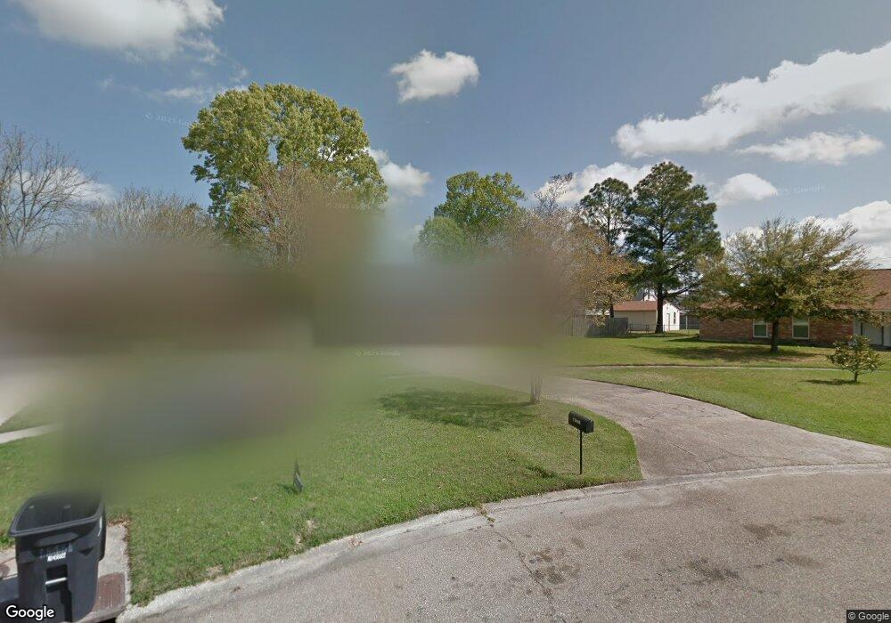
15661 Rhonda Ave Baton Rouge, LA 70816
Broadmoor/Sherwood NeighborhoodEstimated Value: $187,249 - $221,000
3
Beds
2
Baths
1,462
Sq Ft
$136/Sq Ft
Est. Value
About This Home
This home is located at 15661 Rhonda Ave, Baton Rouge, LA 70816 and is currently estimated at $198,312, approximately $135 per square foot. 15661 Rhonda Ave is a home located in East Baton Rouge Parish with nearby schools including Riveroaks Elementary School, Southeast Middle School, and Broadmoor Senior High School.
Ownership History
Date
Name
Owned For
Owner Type
Purchase Details
Closed on
Feb 19, 2024
Sold by
Scott Tarneisha and Scott Justin
Bought by
Scott Tarneisha
Current Estimated Value
Purchase Details
Closed on
Aug 12, 2010
Sold by
Glaze Cheryl K
Bought by
Scott Justin J
Home Financials for this Owner
Home Financials are based on the most recent Mortgage that was taken out on this home.
Original Mortgage
$142,000
Interest Rate
4.6%
Mortgage Type
New Conventional
Create a Home Valuation Report for This Property
The Home Valuation Report is an in-depth analysis detailing your home's value as well as a comparison with similar homes in the area
Home Values in the Area
Average Home Value in this Area
Purchase History
| Date | Buyer | Sale Price | Title Company |
|---|---|---|---|
| Scott Tarneisha | -- | None Listed On Document | |
| Scott Tarneisha | -- | None Listed On Document | |
| Scott Justin J | $142,000 | -- |
Source: Public Records
Mortgage History
| Date | Status | Borrower | Loan Amount |
|---|---|---|---|
| Previous Owner | Scott Justin J | $142,000 |
Source: Public Records
Tax History Compared to Growth
Tax History
| Year | Tax Paid | Tax Assessment Tax Assessment Total Assessment is a certain percentage of the fair market value that is determined by local assessors to be the total taxable value of land and additions on the property. | Land | Improvement |
|---|---|---|---|---|
| 2024 | $1,208 | $17,016 | $1,000 | $16,016 |
| 2023 | $1,208 | $14,890 | $1,000 | $13,890 |
| 2022 | $1,896 | $14,890 | $1,000 | $13,890 |
| 2021 | $1,863 | $14,890 | $1,000 | $13,890 |
| 2020 | $1,885 | $14,890 | $1,000 | $13,890 |
| 2019 | $1,772 | $14,200 | $1,000 | $13,200 |
| 2018 | $1,751 | $14,200 | $1,000 | $13,200 |
| 2017 | $1,751 | $14,200 | $1,000 | $13,200 |
| 2016 | $278 | $9,580 | $1,000 | $8,580 |
| 2015 | $823 | $14,200 | $1,000 | $13,200 |
| 2014 | $820 | $14,200 | $1,000 | $13,200 |
| 2013 | -- | $14,200 | $1,000 | $13,200 |
Source: Public Records
Map
Nearby Homes
- 0 Commercial Unit BR2018011168
- 15447 Jester Ave
- 15243 Jester Ave
- 1444 Oneal Ln
- 15722 Riverdale Ave E
- 1944 W Marsden Place
- 2128 Elkwood Dr
- 2242 Hunters Trail Dr
- 1518 Shadybrook Dr
- 1425 Shadybrook Dr
- 1416 Shadybrook Dr
- 2309 Aspenwood Dr
- 14737 Rhonda Ave
- 14704 Breton Dr
- 1924 Wildlife Dr
- 1954 Wildlife Dr
- 16314 Coliseum Ave
- 1031 Brutus Dr
- 16211 Coliseum Ave
- 1837 Stonewood Dr
- 1805 Darren Dr
- 15651 Rhonda Ave
- 1815 Darren Dr
- 15641 Rhonda Ave
- 15631 Rhonda Ave
- 15650 Rhonda Ave
- 1825 Darren Dr
- 15640 Rhonda Ave
- 15621 Rhonda Ave
- 15630 Rhonda Ave
- 15611 Rhonda Ave
- 15620 Rhonda Ave
- 15557 Rhonda Ave
- 15610 Rhonda Ave
- 15548 Rhonda Ave
- 15541 Rhonda Ave
- 0 Commercial Unit 2018011169
- 0 Commercial Unit BR201013405
- 0 Commercial Unit BR201100336
- 0 Commercial Unit BR201010439
