15665 Lakeshore Rd Union Pier, MI 49129
Estimated Value: $1,021,564 - $1,219,000
3
Beds
3
Baths
2,556
Sq Ft
$427/Sq Ft
Est. Value
About This Home
This home is located at 15665 Lakeshore Rd, Union Pier, MI 49129 and is currently estimated at $1,092,641, approximately $427 per square foot. 15665 Lakeshore Rd is a home with nearby schools including New Buffalo Elementary School, New Buffalo Middle School, and New Buffalo Senior High School.
Ownership History
Date
Name
Owned For
Owner Type
Purchase Details
Closed on
Nov 27, 2018
Sold by
Psb Credit Services Inc
Bought by
Pitts Joyce Erickson
Current Estimated Value
Purchase Details
Closed on
Dec 7, 2017
Sold by
Pitts Mark F and Pitts Joyce Erickson
Bought by
Psb Credit Services Inc
Purchase Details
Closed on
Nov 30, 2017
Sold by
Pitts Mark F and Pitts Joyce Erickson
Bought by
Psb Credit Services Inc
Purchase Details
Closed on
Mar 17, 1993
Purchase Details
Closed on
Sep 2, 1986
Create a Home Valuation Report for This Property
The Home Valuation Report is an in-depth analysis detailing your home's value as well as a comparison with similar homes in the area
Home Values in the Area
Average Home Value in this Area
Purchase History
| Date | Buyer | Sale Price | Title Company |
|---|---|---|---|
| Pitts Joyce Erickson | -- | None Available | |
| Psb Credit Services Inc | $89,142 | None Available | |
| Psb Credit Services Inc | $391,065 | None Available | |
| -- | -- | -- | |
| -- | -- | -- |
Source: Public Records
Tax History Compared to Growth
Tax History
| Year | Tax Paid | Tax Assessment Tax Assessment Total Assessment is a certain percentage of the fair market value that is determined by local assessors to be the total taxable value of land and additions on the property. | Land | Improvement |
|---|---|---|---|---|
| 2025 | $6,441 | $399,600 | $0 | $0 |
| 2024 | $4,769 | $394,100 | $0 | $0 |
| 2023 | $4,542 | $337,700 | $0 | $0 |
| 2022 | $4,326 | $278,100 | $0 | $0 |
| 2021 | $5,699 | $313,600 | $141,600 | $172,000 |
| 2020 | $5,635 | $280,700 | $0 | $0 |
| 2019 | $6,179 | $318,800 | $140,000 | $178,800 |
| 2018 | $6,060 | $318,800 | $0 | $0 |
| 2017 | $6,182 | $325,800 | $0 | $0 |
| 2016 | $5,688 | $309,000 | $0 | $0 |
| 2015 | $5,703 | $396,600 | $0 | $0 |
| 2014 | $4,512 | $355,200 | $0 | $0 |
Source: Public Records
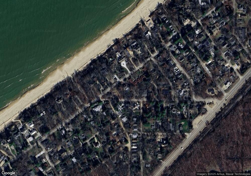
Map
Nearby Homes
- 15657 Lakeshore Rd Unit 12
- 9720 Woodlawn Ave
- 15577 Victor Rd Unit 4
- 15660 Locke Rd
- 15445 Lakeshore Rd
- 16009 Goodwin Ave Unit 12
- 16009 Goodwin Ave Unit 10
- 16009 Goodwin Ave Unit 13
- 15655 Locke Rd
- 15360 Lakeshore Rd
- 15943 Lakeshore Rd
- V/L National Pkwy Unit 25
- 9132 National Pkwy
- 9325 Matthews Rd
- 15930 Lake Ave
- 16253 1st Ln
- 10252 Town Line Ave
- 16225 Quality Ln
- 16351 Red Arrow Hwy
- 16431 Glassman Rd
- 0 Lakeshore Rd
- 15657 Lakeshore Rd Unit 5
- 15657 Lakeshore Rd Unit 9
- 15657 Lakeshore Dr Unit 7
- 15657 Lakeshore Rd Unit 2
- 15657 Lakeshore Rd Unit 15
- 15657 Lakeshore Rd Unit 13
- 15657 Lakeshore Rd Unit 7
- 15657 Lakeshore Rd Unit 1
- 15657 Lakeshore Rd Unit 18
- 15657 Lakeshore Rd Unit 8 (H)
- 15657 Lakeshore Rd
- 15657 Lakeshore Rd Unit 3
- 15657 Lakeshore Rd Unit 17
- 15691 Lakeshore Rd
- 9700 Berrien St
- 9708 Berrien St
- 15694 Lakeshore Rd
- 9691 Berrien St
- 9691 Berrien St Unit a