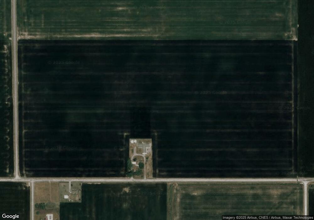
15665 State Rd van Wert, OH 45891
Studio
2
Baths
--
Sq Ft
3,398,987
Sq Ft
About This Home
This home is located at 15665 State Rd, van Wert, OH 45891. 15665 State Rd is a home located in Van Wert County with nearby schools including Lincolnview Elementary School and Lincolnview Junior/Senior High School.
Ownership History
Date
Name
Owned For
Owner Type
Purchase Details
Closed on
Dec 6, 2018
Sold by
Duprey Homestead Ltd
Bought by
Morris Alan L and Morris Joyce A
Purchase Details
Closed on
Jun 29, 2018
Sold by
Gamble Deborah S and Gamble David Bruce
Bought by
Duprey Homestead Ltd
Purchase Details
Closed on
Mar 11, 2013
Sold by
Gamble Deborah S and Gamble David Bruce
Bought by
Duprey Homestead Ltd
Purchase Details
Closed on
Dec 19, 2012
Sold by
Duprey Duprey Ruth M Ruth M
Bought by
Gamble Deborah S and Smith Steven J
Purchase Details
Closed on
Apr 22, 2004
Bought by
Duprey R & R Rev Liv Tr Agrmt
Create a Home Valuation Report for This Property
The Home Valuation Report is an in-depth analysis detailing your home's value as well as a comparison with similar homes in the area
Purchase History
| Date | Buyer | Sale Price | Title Company |
|---|---|---|---|
| Morris Alan L | $1,163,200 | None Available | |
| Duprey Homestead Ltd | -- | None Available | |
| Duprey Homestead Ltd | -- | None Available | |
| Gamble Deborah S | -- | Attorney | |
| Duprey R & R Rev Liv Tr Agrmt | -- | -- |
Source: Public Records
Tax History
| Year | Tax Paid | Tax Assessment Tax Assessment Total Assessment is a certain percentage of the fair market value that is determined by local assessors to be the total taxable value of land and additions on the property. | Land | Improvement |
|---|---|---|---|---|
| 2024 | $2,684 | $78,410 | $78,410 | $0 |
| 2023 | $2,612 | $78,410 | $78,410 | $0 |
| 2022 | $2,020 | $42,920 | $42,920 | $0 |
| 2021 | $2,032 | $42,920 | $42,920 | $0 |
| 2020 | $2,017 | $42,920 | $42,920 | $0 |
| 2019 | $2,866 | $68,450 | $68,450 | $0 |
| 2018 | $2,841 | $68,450 | $68,450 | $0 |
| 2017 | $3,020 | $68,450 | $68,450 | $0 |
| 2016 | $3,093 | $89,040 | $89,040 | $0 |
| 2015 | $3,248 | $89,040 | $89,040 | $0 |
| 2014 | $3,134 | $89,040 | $89,040 | $0 |
| 2013 | -- | $39,080 | $39,080 | $0 |
Source: Public Records
Map
Nearby Homes
- 14998 Middle Point Rd
- 1109 Mendon Rd
- 19195 State Rd
- 18906 Bebb St
- 15044 Main St
- TBD Mendon Rd
- 19059 Wittington St
- 780 Maplewood Dr
- 15453 U S 127
- TBD Dog Creek Rd
- 300 S Wayne St
- 1060 1056 S Washington St
- 529 S Tyler St
- 224 S Franklin St
- 129 Balyeat Ave
- 1120 Park St
- 112 W Railroad St
- 142 E Raymond St
- 631 S Washington St
- 205 N Chestnut St
- 3527 State Rd
- 15516 State Rd
- 13085 Ireland Rd
- 12630 Ireland Rd
- 13400 Ireland Rd
- 12442 Ireland Rd
- 13373 Jonestown Rd
- 13543 Ireland Rd
- 15224 Mccleery Rd
- 16398 State Rd
- 15102 Mccleery Rd
- 14950 State Rd
- 13615 Jonestown Rd
- 12983 Gamble Rd
- 12666 Gamble Rd
- 12127 Ireland Rd
- 12140 Ireland Rd
- 14830 Mccleery Rd
- 12757 Gamble Rd
Your Personal Tour Guide
Ask me questions while you tour the home.