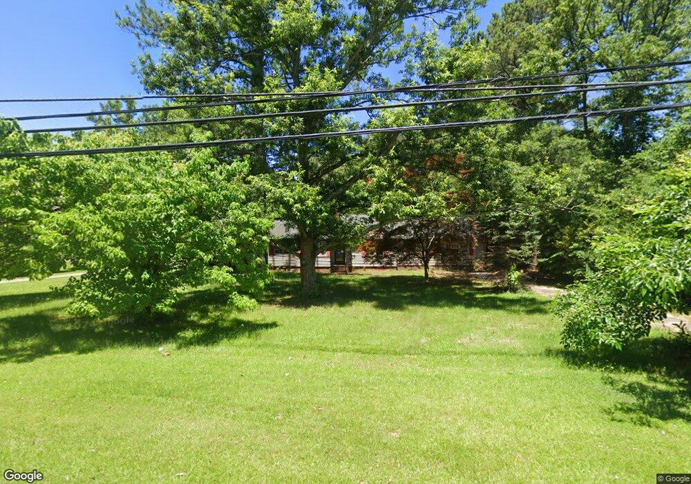
1567 Barnes Rd Woodstock, GA 30188
Union Hill NeighborhoodEstimated Value: $257,000 - $334,000
2
Beds
1
Bath
1,030
Sq Ft
$288/Sq Ft
Est. Value
About This Home
This home is located at 1567 Barnes Rd, Woodstock, GA 30188 and is currently estimated at $296,768, approximately $288 per square foot. 1567 Barnes Rd is a home located in Cherokee County with nearby schools including Arnold Mill Elementary School, Mill Creek Middle School, and River Ridge High School.
Ownership History
Date
Name
Owned For
Owner Type
Purchase Details
Closed on
Jan 5, 2015
Sold by
Jpmorgan Chase Bank National A
Bought by
Semenyuk Leonid J
Current Estimated Value
Purchase Details
Closed on
Nov 4, 2014
Sold by
Bordacs Lydia
Bought by
Jpmorgan Chase Bank National A
Purchase Details
Closed on
Aug 28, 2000
Sold by
Hopkins Patricia M
Bought by
Bordacs Lydia
Home Financials for this Owner
Home Financials are based on the most recent Mortgage that was taken out on this home.
Original Mortgage
$108,100
Interest Rate
8.11%
Mortgage Type
New Conventional
Create a Home Valuation Report for This Property
The Home Valuation Report is an in-depth analysis detailing your home's value as well as a comparison with similar homes in the area
Home Values in the Area
Average Home Value in this Area
Purchase History
| Date | Buyer | Sale Price | Title Company |
|---|---|---|---|
| Semenyuk Leonid J | $93,000 | -- | |
| Jpmorgan Chase Bank National A | $78,000 | -- | |
| Bordacs Lydia | $108,700 | -- |
Source: Public Records
Mortgage History
| Date | Status | Borrower | Loan Amount |
|---|---|---|---|
| Previous Owner | Bordacs Lydia | $108,100 |
Source: Public Records
Tax History Compared to Growth
Tax History
| Year | Tax Paid | Tax Assessment Tax Assessment Total Assessment is a certain percentage of the fair market value that is determined by local assessors to be the total taxable value of land and additions on the property. | Land | Improvement |
|---|---|---|---|---|
| 2025 | $2,067 | $92,120 | $36,440 | $55,680 |
| 2024 | $1,779 | $77,040 | $23,520 | $53,520 |
| 2023 | $1,366 | $78,080 | $23,520 | $54,560 |
| 2022 | $1,362 | $56,480 | $23,520 | $32,960 |
| 2021 | $1,326 | $50,120 | $23,520 | $26,600 |
| 2020 | $1,288 | $48,440 | $24,680 | $23,760 |
| 2019 | $1,308 | $49,280 | $23,520 | $25,760 |
| 2018 | $1,288 | $48,160 | $23,520 | $24,640 |
| 2017 | $1,307 | $121,400 | $23,520 | $25,040 |
| 2016 | $1,269 | $109,000 | $20,160 | $23,440 |
| 2015 | $1,094 | $93,000 | $17,280 | $19,920 |
| 2014 | $1,128 | $95,700 | $14,880 | $23,400 |
Source: Public Records
Map
Nearby Homes
- 414 Spring View Dr
- 124 Riverside Ln
- 585 Arnold Mill Rd
- 202 Little River Way
- 4006 N Arnold Mill Rd
- 321 Burdock Trace
- 4020 N Arnold Mill Rd
- 236 Persimmon Dr
- 338 Westover Dr
- 624 Arnold Mill Rd
- 436 Silver Brook Dr
- 632 Arnold Mill Rd
- 200 Dahlia Dr
- 636 Arnold Mill Rd
- 427 Silver Brook Dr
- 522 Watercress Dr
- 0 O Hara Dr Unit 8443973
- 0 O Hara Dr Unit 6064833
- 907 Andover Ct
- 1569 Barnes Rd
- 0 Debbie Ln Unit 8186790
- 0 Debbie Ln Unit 8133850
- 0 Debbie Ln
- 805 Debbie Ln
- 3013 River Station Dr
- 3015 River Station Dr
- 809 Debbie Ln
- 3011 River Station Dr
- 1563 Barnes Rd
- 3017 River Station Dr Unit 4
- 1573 Barnes Rd
- 3009 River Station Dr
- 0 River Station Dr Unit 8559567
- 0 River Station Dr Unit 9023077
- 0 River Station Dr Unit 8769705
- 0 River Station Dr Unit 3251577
- 0 River Station Dr Unit 7069277
- 0 River Station Dr Unit 7101540
- 0 River Station Dr