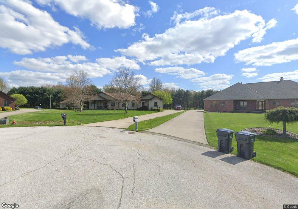
1567 Countryside Dr Mogadore, OH 44260
Estimated Value: $460,000 - $577,000
4
Beds
3
Baths
2,245
Sq Ft
$223/Sq Ft
Est. Value
About This Home
This home is located at 1567 Countryside Dr, Mogadore, OH 44260 and is currently estimated at $499,579, approximately $222 per square foot. 1567 Countryside Dr is a home located in Portage County with nearby schools including Suffield Elementary School, Field Middle School, and Field High School.
Ownership History
Date
Name
Owned For
Owner Type
Purchase Details
Closed on
Dec 29, 2011
Sold by
Egli Faith P
Bought by
Mihalik Kenneth J and Mihalik Amber Shalea
Current Estimated Value
Home Financials for this Owner
Home Financials are based on the most recent Mortgage that was taken out on this home.
Original Mortgage
$201,200
Outstanding Balance
$138,003
Interest Rate
3.99%
Mortgage Type
New Conventional
Estimated Equity
$361,576
Purchase Details
Closed on
Oct 4, 2011
Sold by
Dempsey Ellen E
Bought by
Egli Faith P
Purchase Details
Closed on
Apr 9, 2003
Sold by
D B Development Llc
Bought by
Egli Faith P and Dempsey Ellen E
Home Financials for this Owner
Home Financials are based on the most recent Mortgage that was taken out on this home.
Original Mortgage
$231,100
Interest Rate
5.9%
Mortgage Type
Purchase Money Mortgage
Create a Home Valuation Report for This Property
The Home Valuation Report is an in-depth analysis detailing your home's value as well as a comparison with similar homes in the area
Home Values in the Area
Average Home Value in this Area
Purchase History
| Date | Buyer | Sale Price | Title Company |
|---|---|---|---|
| Mihalik Kenneth J | $251,500 | Bennett Land Title Agency | |
| Egli Faith P | -- | Attorney | |
| Egli Faith P | $50,000 | Multiple |
Source: Public Records
Mortgage History
| Date | Status | Borrower | Loan Amount |
|---|---|---|---|
| Open | Mihalik Kenneth J | $201,200 | |
| Previous Owner | Egli Faith P | $231,100 |
Source: Public Records
Tax History Compared to Growth
Tax History
| Year | Tax Paid | Tax Assessment Tax Assessment Total Assessment is a certain percentage of the fair market value that is determined by local assessors to be the total taxable value of land and additions on the property. | Land | Improvement |
|---|---|---|---|---|
| 2024 | $6,481 | $137,200 | $15,750 | $121,450 |
| 2023 | $6,922 | $118,170 | $17,330 | $100,840 |
| 2022 | $6,942 | $118,170 | $17,330 | $100,840 |
| 2021 | $6,785 | $118,170 | $17,330 | $100,840 |
| 2020 | $6,039 | $94,540 | $15,750 | $78,790 |
| 2019 | $5,949 | $94,540 | $15,750 | $78,790 |
| 2018 | $4,809 | $80,850 | $14,700 | $66,150 |
| 2017 | $4,308 | $80,850 | $14,700 | $66,150 |
| 2016 | $4,300 | $80,850 | $14,700 | $66,150 |
| 2015 | $4,161 | $80,850 | $14,700 | $66,150 |
| 2014 | $4,014 | $80,850 | $14,700 | $66,150 |
| 2013 | $3,955 | $80,850 | $14,700 | $66,150 |
Source: Public Records
Map
Nearby Homes
- 3241 State Route 43
- 1489 Old Forge Rd
- 3434 Lawndale Dr
- 1707 Old Forge Rd
- 3517 Jameson Dr
- 1330 Highpoint St
- 3658 Elmhurst Ct
- 3672 Elmhurst Ct
- 3579 Elmhurst Ct
- 1418 Arcadia Rd
- 3793 Ranfield Rd
- 1125 Dussel Rd
- 3868 Willow Way
- 1811 Randolph Rd
- 1088 Irish Rd
- 3946 Mctaggart Blvd
- 3362 Sunnybrook Rd
- 2835 Sunnybrook Rd
- 4088 Lynwood Dr
- 596 Ticknor Rd
- 1560 Countryside Dr
- 1561 Countryside Dr
- 1554 Countryside Dr
- 1555 Countryside Dr
- 1543 Countryside Dr
- 1537 Countryside Dr
- 1482 Countryside Dr
- 3116 Highland Cir
- 3126 Highland Cir
- 1533 Countryside Dr
- 3140 Highland Cir
- 1470 Countryside Dr
- 1521 Countryside Dr
- 3162 Highland Cir
- 1517 Countryside Dr
- 1505 Countryside Dr
- 1511 Countryside Dr
- 1475 Countryside Dr
- 3117 Highland Cir
- 3127 Highland Cir