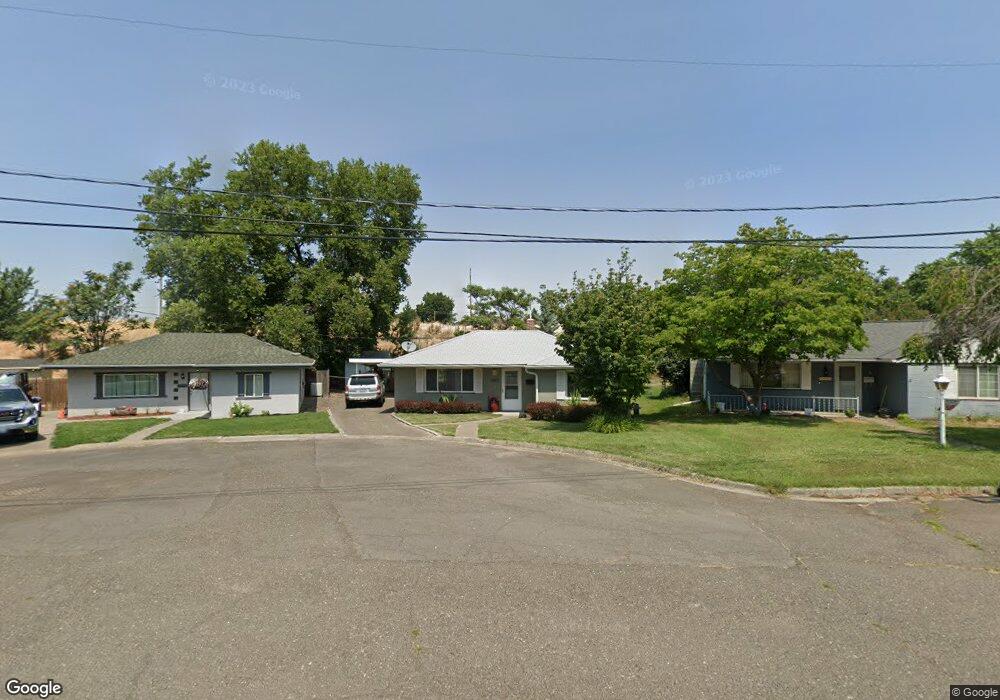
1567 K St Walla Walla, WA 99362
Estimated Value: $290,000 - $321,000
3
Beds
1
Bath
1,140
Sq Ft
$267/Sq Ft
Est. Value
About This Home
This home is located at 1567 K St, Walla Walla, WA 99362 and is currently estimated at $304,447, approximately $267 per square foot. 1567 K St is a home located in Walla Walla County with nearby schools including Green Park Elementary School, Pioneer Middle School, and R-Kidz Early Childhood Education Center.
Ownership History
Date
Name
Owned For
Owner Type
Purchase Details
Closed on
May 5, 2005
Sold by
Manuel Thomas R and Magnoni Renea Marie
Bought by
Crawford Michael L and Crawford Deborah A
Current Estimated Value
Home Financials for this Owner
Home Financials are based on the most recent Mortgage that was taken out on this home.
Original Mortgage
$92,240
Outstanding Balance
$47,622
Interest Rate
5.99%
Mortgage Type
New Conventional
Estimated Equity
$256,825
Create a Home Valuation Report for This Property
The Home Valuation Report is an in-depth analysis detailing your home's value as well as a comparison with similar homes in the area
Purchase History
We collect this data history from publicly available records. To have your information removed, we recommend requesting removal directly through your county’s website.
| Date | Buyer | Sale Price | Title Company |
|---|---|---|---|
| Crawford Michael L | $114,973 | Land Title Of Walla Walla Co |
Source: Public Records
Mortgage History
We collect this data history from publicly available records. To have your information removed, we recommend requesting removal directly through your county’s website.
| Date | Status | Borrower | Loan Amount |
|---|---|---|---|
| Open | Crawford Michael L | $92,240 |
Source: Public Records
Tax History
| Year | Tax Paid | Tax Assessment Tax Assessment Total Assessment is a certain percentage of the fair market value that is determined by local assessors to be the total taxable value of land and additions on the property. | Land | Improvement |
|---|---|---|---|---|
| 2025 | $2,797 | $306,040 | $65,520 | $240,520 |
| 2024 | $2,206 | $284,170 | $65,520 | $218,650 |
| 2023 | $2,206 | $250,780 | $40,950 | $209,830 |
| 2022 | $2,247 | $250,780 | $40,950 | $209,830 |
| 2021 | $1,909 | $208,810 | $40,950 | $167,860 |
| 2020 | $1,894 | $160,850 | $40,950 | $119,900 |
| 2019 | $1,614 | $160,850 | $40,950 | $119,900 |
| 2018 | $1,759 | $149,950 | $40,950 | $109,000 |
| 2017 | $1,568 | $133,800 | $26,200 | $107,600 |
| 2016 | $1,585 | $128,680 | $26,200 | $102,480 |
| 2015 | $1,556 | $123,800 | $26,200 | $97,600 |
| 2014 | -- | $123,800 | $26,200 | $97,600 |
| 2013 | -- | $123,800 | $26,200 | $97,600 |
Source: Public Records
Map
Nearby Homes
- 1551 J St
- 1535 J St
- 1397 Caprio Loop
- 1544 Melrose St
- 1910 J St Unit 103
- 1261 Melrose St
- 1928 J St Unit 102
- 2026 Glen Erin Dr
- 408 N Division St
- 322 N Bellevue Ave
- 1704 & 1708 Walla Ave
- 1518 Portland Ave
- 1135 Bonsella St
- 819 Ava St
- 857 Ava Ct
- 835 Ava Ct
- 241 N Bellevue Ave
- 624 Ash St
- 1235 E Isaacs Ave
- 1041 Alvarado Terrace
Your Personal Tour Guide
Ask me questions while you tour the home.