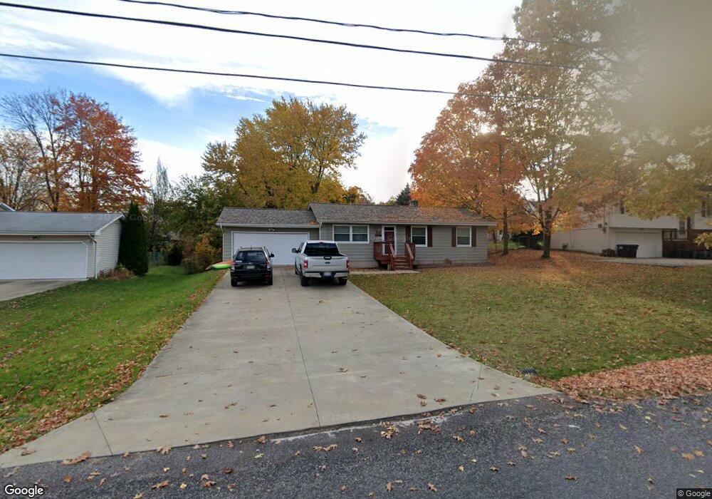
1567 Lincoln Ave Brunswick, OH 44212
Estimated Value: $213,000 - $239,000
3
Beds
2
Baths
1,040
Sq Ft
$214/Sq Ft
Est. Value
About This Home
This home is located at 1567 Lincoln Ave, Brunswick, OH 44212 and is currently estimated at $223,043, approximately $214 per square foot. 1567 Lincoln Ave is a home located in Medina County with nearby schools including Huntington Elementary School, Willets Middle School, and Brunswick High School.
Ownership History
Date
Name
Owned For
Owner Type
Purchase Details
Closed on
Oct 13, 2016
Sold by
Ratino Thomas Richard
Bought by
Ratino Kristin Kaye
Current Estimated Value
Purchase Details
Closed on
May 12, 1995
Sold by
Austin Randy A
Bought by
Stark Craig R and Stark Kelli J
Home Financials for this Owner
Home Financials are based on the most recent Mortgage that was taken out on this home.
Original Mortgage
$89,500
Interest Rate
8.39%
Mortgage Type
New Conventional
Create a Home Valuation Report for This Property
The Home Valuation Report is an in-depth analysis detailing your home's value as well as a comparison with similar homes in the area
Home Values in the Area
Average Home Value in this Area
Purchase History
| Date | Buyer | Sale Price | Title Company |
|---|---|---|---|
| Ratino Kristin Kaye | -- | None Available | |
| Stark Craig R | $96,500 | -- |
Source: Public Records
Mortgage History
| Date | Status | Borrower | Loan Amount |
|---|---|---|---|
| Closed | Stark Craig R | $89,500 |
Source: Public Records
Tax History Compared to Growth
Tax History
| Year | Tax Paid | Tax Assessment Tax Assessment Total Assessment is a certain percentage of the fair market value that is determined by local assessors to be the total taxable value of land and additions on the property. | Land | Improvement |
|---|---|---|---|---|
| 2024 | $2,428 | $49,100 | $19,400 | $29,700 |
| 2023 | $2,428 | $49,100 | $19,400 | $29,700 |
| 2022 | $2,296 | $49,100 | $19,400 | $29,700 |
| 2021 | $2,048 | $38,970 | $15,400 | $23,570 |
| 2020 | $1,829 | $38,970 | $15,400 | $23,570 |
| 2019 | $1,830 | $38,970 | $15,400 | $23,570 |
| 2018 | $1,657 | $33,470 | $12,490 | $20,980 |
| 2017 | $1,659 | $33,470 | $12,490 | $20,980 |
| 2016 | $1,658 | $33,470 | $12,490 | $20,980 |
| 2015 | $1,587 | $30,990 | $11,570 | $19,420 |
| 2014 | $1,581 | $30,990 | $11,570 | $19,420 |
| 2013 | $1,546 | $30,990 | $11,570 | $19,420 |
Source: Public Records
Map
Nearby Homes
- 1536 Jefferson Ave
- 4492 Cleveland St
- 1431 Roosevelt Ave
- 1407 Lincoln Ave
- 1464 Troon Ave
- 1307 Stearns St
- 1389 Mussel Shoals Dr
- 0 Pearl Rd Unit 4173749
- V/L Pearl Rd
- 4464 Newcastle Cove
- 1851 Manningford Oval
- 4383 Inner Circle Dr Unit C24
- 4383 Inner Circle Dr Unit A24
- 4385 Inner Circle Dr Unit B-18
- 4383 Inner Circle Dr Unit B22
- 4349 Inner Circle Dr Unit A-5
- 0 Center Rd Unit 4467135
- 4374 Lochs Ln
- 1821 Stone Manor Cir
- 4224 Maiden Ct
- 1559 Lincoln Ave
- 1577 Lincoln Ave
- 1572 Jefferson Ave
- 1560 Jefferson Ave
- 1566 Lincoln Ave
- 1587 Lincoln Ave
- 1552 Jefferson Ave
- 1549 Lincoln Ave
- 1558 Lincoln Ave
- 1582 Jefferson Ave
- 1576 Lincoln Ave
- 1595 Lincoln Ave
- 1542 Jefferson Ave
- 1596 Jefferson Ave
- 1598 Lincoln Ave
- 1588 Lincoln Ave
- 1542 Lincoln Ave
- 1571 Jefferson Ave
- 1561 Jefferson Ave
- 1577 Jefferson Ave