1567 McDonald Rd Dahlonega, GA 30533
Estimated Value: $261,589 - $345,000
--
Bed
1
Bath
1,433
Sq Ft
$212/Sq Ft
Est. Value
About This Home
This home is located at 1567 McDonald Rd, Dahlonega, GA 30533 and is currently estimated at $304,147, approximately $212 per square foot. 1567 McDonald Rd is a home located in Lumpkin County with nearby schools including Clay County Middle School and Lumpkin County High School.
Ownership History
Date
Name
Owned For
Owner Type
Purchase Details
Closed on
Jul 12, 2024
Sold by
Powell Gale H
Bought by
Powell Gale Hoover and Powell Sharon Kathleen
Current Estimated Value
Purchase Details
Closed on
Mar 30, 2001
Sold by
Kenimer Doug
Bought by
Powell Gale H
Purchase Details
Closed on
Mar 19, 2001
Sold by
Anderson Tony
Bought by
Kenimer Doug
Purchase Details
Closed on
Sep 13, 1995
Bought by
Anderson Tony
Create a Home Valuation Report for This Property
The Home Valuation Report is an in-depth analysis detailing your home's value as well as a comparison with similar homes in the area
Home Values in the Area
Average Home Value in this Area
Purchase History
| Date | Buyer | Sale Price | Title Company |
|---|---|---|---|
| Powell Gale Hoover | $222,965 | -- | |
| Powell Gale H | $99,000 | -- | |
| Kenimer Doug | $8,000 | -- | |
| Anderson Tony | -- | -- |
Source: Public Records
Tax History Compared to Growth
Tax History
| Year | Tax Paid | Tax Assessment Tax Assessment Total Assessment is a certain percentage of the fair market value that is determined by local assessors to be the total taxable value of land and additions on the property. | Land | Improvement |
|---|---|---|---|---|
| 2024 | $187 | $89,186 | $8,000 | $81,186 |
| 2023 | $9 | $83,475 | $8,000 | $75,475 |
| 2022 | $8 | $68,760 | $8,000 | $60,760 |
| 2021 | $1,651 | $58,186 | $8,000 | $50,186 |
| 2020 | $1,609 | $56,720 | $8,000 | $48,720 |
| 2019 | $1,609 | $56,720 | $8,000 | $48,720 |
| 2018 | $1,445 | $50,928 | $8,000 | $42,928 |
| 2017 | $0 | $48,971 | $8,000 | $40,971 |
| 2016 | $1,267 | $45,213 | $8,000 | $37,213 |
| 2015 | -- | $45,213 | $8,000 | $37,213 |
| 2014 | -- | $46,089 | $8,000 | $38,089 |
| 2013 | -- | $46,526 | $8,000 | $38,526 |
Source: Public Records
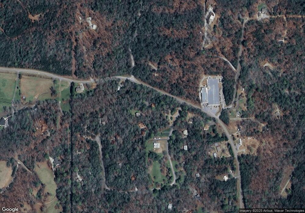
Map
Nearby Homes
- 265 Hound Dog Ln
- 200 Huntington Place
- 399 Ranch Mountain Dr
- 105 Ranch Mountain Ct
- 0 Yahoola Rd Unit 10535206
- 0 Yahoola Rd Unit 7590460
- 1036 Wards Creek Dr
- 46 Deer Acres Dr
- 180 Alonzo Cain Rd
- 7709 Highway 19 N
- 0 Stancil Dyer Rd Unit 10656125
- 86 Yonah View
- 105 Yonah View
- 0 Ts Jarrard Rd Unit Tract 3
- 0 Ridley Rd Unit 7672007
- 0 Ridley Rd Unit 10632021
- 0 Yahoola Ridge Unit 10624699
- 0 Yahoola Ridge Unit 7665701
- 18 Rustin Ridge
- 24 Rustin Ridge
- 32 Tate Creek Trail
- 40 Tate Creek Trail
- 50 Tate Creek Trail
- 1645 McDonald Rd
- 0 Hound Dog Ln Unit C 7432078
- 0 Hound Dog Ln Unit 2 7530603
- 0 Hound Dog Ln Unit 7530581
- 0 Hound Dog Ln Unit A 7615843
- 0 Hound Dog Ln Unit 5601476
- 0 Hound Dog Ln Unit 5667568
- 0 Hound Dog Ln
- 0 Hound Dog Ln Unit 8590547
- 0 Hound Dog Ln Unit 8687281
- 0 Hound Dog Ln Unit 8495392
- 0 Hound Dog Ln Unit 6107334
- 64 Tate Creek Trail
- 29 Tate Creek Trail Unit 1
- 29 Tate Creek Trail
- 0 Tate Creek Trail Unit 7152795
- 0 Tate Creek Trail Unit 8241097