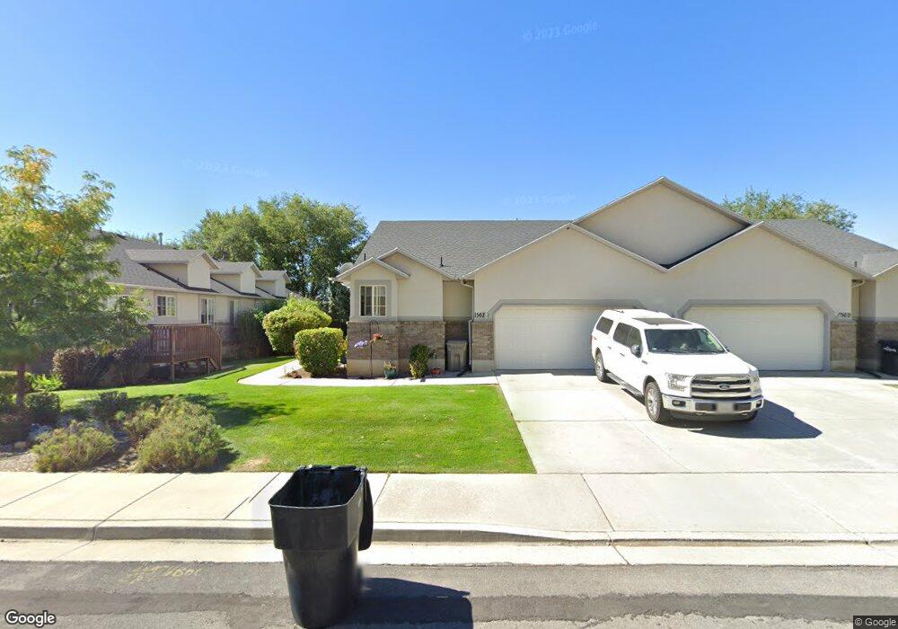
1567 N 150 E Springville, UT 84663
Little Rock Canyon NeighborhoodEstimated Value: $384,266 - $419,000
3
Beds
2
Baths
1,177
Sq Ft
$340/Sq Ft
Est. Value
About This Home
This home is located at 1567 N 150 E, Springville, UT 84663 and is currently estimated at $400,755, approximately $340 per square foot. 1567 N 150 E is a home located in Utah County with nearby schools including Cherry Creek Elementary School, Springville Junior High School, and Springville High School.
Ownership History
Date
Name
Owned For
Owner Type
Purchase Details
Closed on
May 20, 2022
Sold by
Mark And Ginger Warnick Family Living Tr
Bought by
Warner Paul and Warner Kathie
Current Estimated Value
Home Financials for this Owner
Home Financials are based on the most recent Mortgage that was taken out on this home.
Original Mortgage
$300,000
Outstanding Balance
$284,993
Interest Rate
5.25%
Mortgage Type
New Conventional
Estimated Equity
$115,762
Purchase Details
Closed on
Nov 18, 2010
Sold by
Warnick Mark Douglas
Bought by
Warnick Mark D and Warnick Ginger H
Create a Home Valuation Report for This Property
The Home Valuation Report is an in-depth analysis detailing your home's value as well as a comparison with similar homes in the area
Home Values in the Area
Average Home Value in this Area
Purchase History
| Date | Buyer | Sale Price | Title Company |
|---|---|---|---|
| Warner Paul | -- | Utah First Title | |
| Warnick Mark D | -- | None Available |
Source: Public Records
Mortgage History
| Date | Status | Borrower | Loan Amount |
|---|---|---|---|
| Open | Warner Paul | $300,000 |
Source: Public Records
Tax History
| Year | Tax Paid | Tax Assessment Tax Assessment Total Assessment is a certain percentage of the fair market value that is determined by local assessors to be the total taxable value of land and additions on the property. | Land | Improvement |
|---|---|---|---|---|
| 2025 | $2,000 | $205,975 | -- | -- |
| 2024 | $2,000 | $204,875 | $0 | $0 |
| 2023 | $1,918 | $196,680 | $0 | $0 |
| 2022 | $1,992 | $200,585 | $0 | $0 |
| 2021 | $1,796 | $281,600 | $50,000 | $231,600 |
| 2020 | $1,625 | $247,000 | $50,000 | $197,000 |
| 2019 | $1,487 | $230,000 | $50,000 | $180,000 |
| 2018 | $1,465 | $216,200 | $50,000 | $166,200 |
| 2017 | $1,482 | $116,160 | $0 | $0 |
| 2016 | $1,284 | $98,725 | $0 | $0 |
| 2015 | $1,127 | $88,550 | $0 | $0 |
| 2014 | $1,134 | $88,550 | $0 | $0 |
Source: Public Records
Map
Nearby Homes
- 1404 N Spring Mountain Dr
- 1025 N 300 W Unit 108
- 1025 N 300 W Unit 7
- 1025 N 300 W Unit 1
- 1083 N 700 E
- 850 N Main St Unit 47
- 814 N 175 E
- 164 E 750 N
- 778 N 250 W
- 576 N 100 E
- 512 N 400 E
- 519 N 600 E
- 663 N 880 E
- 437 N 650 St E
- 58 W 300 N
- 711 E 400 N
- 231 N 100 W
- 380 E 200 N
- 147 N 100 E
- 476 W 200 N Unit 108
Your Personal Tour Guide
Ask me questions while you tour the home.