Estimated Value: $453,000 - $560,209
4
Beds
5
Baths
4,908
Sq Ft
$104/Sq Ft
Est. Value
About This Home
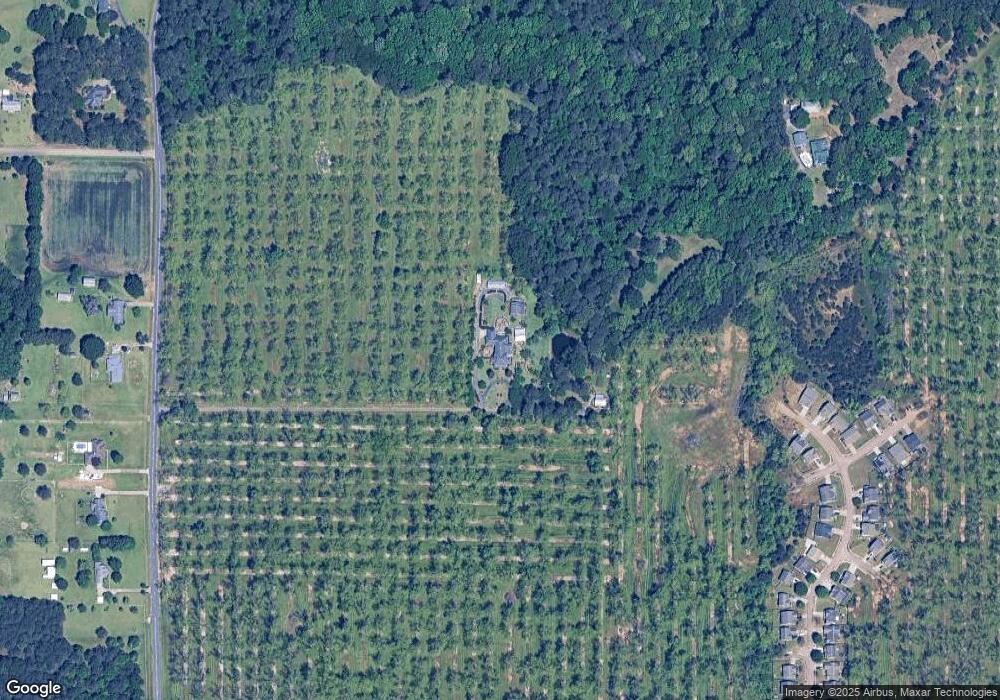
This home is located at 1567 Rum Rd, Byron, GA 31008 and is currently estimated at $509,802, approximately $103 per square foot. 1567 Rum Rd is a home located in Peach County with nearby schools including Byron Elementary School, Byron Middle School, and Peach County High School.
Ownership History
Date
Name
Owned For
Owner Type
Purchase Details
Closed on
Feb 6, 1995
Bought by
Ray Barbara G
Current Estimated Value
Purchase Details
Closed on
Nov 30, 1992
Bought by
Ray Barbara G
Purchase Details
Closed on
Jul 31, 1985
Bought by
Ray Richard B and Ray Barbara G
Purchase Details
Closed on
Jul 1, 1985
Bought by
Glonts Rila E
Purchase Details
Closed on
May 24, 1985
Bought by
Ray Richard B and Ray Barbara G
Create a Home Valuation Report for This Property
The Home Valuation Report is an in-depth analysis detailing your home's value as well as a comparison with similar homes in the area
Home Values in the Area
Average Home Value in this Area
Purchase History
| Date | Buyer | Sale Price | Title Company |
|---|---|---|---|
| Ray Barbara G | $23,000 | -- | |
| Ray Barbara G | -- | -- | |
| Ray Richard B | -- | -- | |
| Glonts Rila E | -- | -- | |
| Ray Richard B | $28,700 | -- | |
| Barfield Gilbert | $27,700 | -- |
Source: Public Records
Tax History Compared to Growth
Tax History
| Year | Tax Paid | Tax Assessment Tax Assessment Total Assessment is a certain percentage of the fair market value that is determined by local assessors to be the total taxable value of land and additions on the property. | Land | Improvement |
|---|---|---|---|---|
| 2024 | $3,503 | $150,520 | $46,600 | $103,920 |
| 2023 | $3,059 | $133,400 | $29,120 | $104,280 |
| 2022 | $3,858 | $120,336 | $29,120 | $91,216 |
| 2021 | $3,219 | $107,272 | $29,120 | $78,152 |
| 2020 | $3,735 | $123,828 | $29,120 | $94,708 |
| 2019 | $2,938 | $104,480 | $29,120 | $75,360 |
| 2018 | $2,631 | $104,480 | $29,120 | $75,360 |
| 2017 | $2,639 | $104,480 | $29,120 | $75,360 |
| 2016 | $2,628 | $104,480 | $29,120 | $75,360 |
| 2015 | $2,626 | $99,160 | $23,800 | $75,360 |
| 2014 | $2,625 | $99,160 | $23,800 | $75,360 |
| 2013 | -- | $99,160 | $23,800 | $75,360 |
Source: Public Records
Map
Nearby Homes
- 350 Georgia 42
- 125 Buckskin Trail
- 101 Fawn Ct
- 119 Buckskin Trail
- 103 Fawn Ct
- 107 Silver Maple Ct
- 109 Silver Maple Ct
- 506 Howard St
- 102 Silver Maple Ct
- 208 Crystal Dr
- 0 Highway 42 Unit 10576098
- 0 Moseley Rd Unit 10582548
- 0 Moseley Rd Unit 255314
- 0 Moseley Rd Unit 180905
- 203 Colonial Dr
- 104 Robinson St
- 254 Shantz Way Unit (LOT A44)
- 00 Georgia 49
- 467 Kirkland Dr
