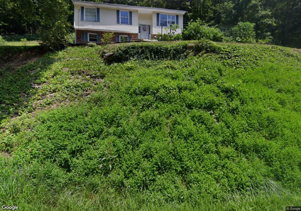
1567 War Fork Rd Vansant, VA 24656
Estimated Value: $127,000 - $202,000
3
Beds
1
Bath
2,268
Sq Ft
$67/Sq Ft
Est. Value
About This Home
This home is located at 1567 War Fork Rd, Vansant, VA 24656 and is currently estimated at $151,730, approximately $66 per square foot. 1567 War Fork Rd is a home located in Buchanan County with nearby schools including Riverview Elementary/Middle School and Grundy High School.
Ownership History
Date
Name
Owned For
Owner Type
Purchase Details
Closed on
Jun 2, 2017
Sold by
Deel Rickeyn Lowell
Bought by
Lester Nicholas Andrew and Thomas Linda Rose
Current Estimated Value
Home Financials for this Owner
Home Financials are based on the most recent Mortgage that was taken out on this home.
Original Mortgage
$48,000
Outstanding Balance
$39,581
Interest Rate
3.97%
Mortgage Type
Commercial
Estimated Equity
$112,149
Create a Home Valuation Report for This Property
The Home Valuation Report is an in-depth analysis detailing your home's value as well as a comparison with similar homes in the area
Home Values in the Area
Average Home Value in this Area
Purchase History
| Date | Buyer | Sale Price | Title Company |
|---|---|---|---|
| Lester Nicholas Andrew | $60,000 | Attorney |
Source: Public Records
Mortgage History
| Date | Status | Borrower | Loan Amount |
|---|---|---|---|
| Open | Lester Nicholas Andrew | $48,000 |
Source: Public Records
Tax History Compared to Growth
Tax History
| Year | Tax Paid | Tax Assessment Tax Assessment Total Assessment is a certain percentage of the fair market value that is determined by local assessors to be the total taxable value of land and additions on the property. | Land | Improvement |
|---|---|---|---|---|
| 2025 | $454 | $116,500 | $8,000 | $108,500 |
| 2024 | $454 | $116,500 | $8,000 | $108,500 |
| 2023 | $454 | $116,500 | $8,000 | $108,500 |
| 2022 | $454 | $116,500 | $8,000 | $108,500 |
| 2021 | $454 | $116,500 | $8,000 | $108,500 |
| 2020 | $333 | $85,300 | $8,000 | $77,300 |
| 2019 | $333 | $85,300 | $8,000 | $77,300 |
| 2017 | $333 | $85,300 | $8,000 | $77,300 |
| 2016 | $5 | $1,400 | $1,400 | $0 |
| 2015 | -- | $700 | $700 | $0 |
Source: Public Records
Map
Nearby Homes
- 1078 Joe Hollow Rd
- 2477 Leemaster Dr
- 8836 Lovers Gap Rd
- 1877 Lovers Gap Rd
- 1025 White Birch Ln
- 1991 Old Greenbrier Rd
- 18775 Riverside Dr
- 1104 Little Prater Rd
- 1153 Old Greenbrier Rd
- 0 Dry Fork Rd
- TBD Cypress St
- 1107 Russell Hill St
- 1551 Watkins Branch
- TBD Riverside Dr
- 639 Dream Farm Rd
- 362 Rakes Ridge Rd
- 782 Rock Lick Rd
- 1154 Fairview St
- 124 Garmon Sutherland St
- 127 Bartley St
- 1500 War Fork Rd
- 1598 War Fork Rd
- 1619 War Fork Rd
- 1415 War Fork Rd
- 1709 War Fork Rd
- RT. 673 Warfork Rd
- 101 Warfork Rd
- TBD Warfork Rd
- 1043 Viking Rd
- 1058 Viking Rd
- 1757 War Fork Rd
- 1299 War Fork Rd
- 1324 War Fork Rd
- 1290 War Fork Rd
- 1763 War Fork Rd
- 1278 War Fork Rd
- 1281 War Fork Rd
- 1108 Owens Branch Rd
- 135400 Owens Branch Rd
- 1043 Owens Branch Rd