15670 Malone (Highfill) Rd Gentry, AR 72734
Estimated Value: $705,000 - $756,000
3
Beds
3
Baths
3,600
Sq Ft
$205/Sq Ft
Est. Value
About This Home
This home is located at 15670 Malone (Highfill) Rd, Gentry, AR 72734 and is currently estimated at $739,746, approximately $205 per square foot. 15670 Malone (Highfill) Rd is a home located in Benton County with nearby schools including Gentry Intermediate School, Gentry Primary School, and Gentry Middle School.
Ownership History
Date
Name
Owned For
Owner Type
Purchase Details
Closed on
Oct 7, 2025
Sold by
Burks Daniel and Burks Julie
Bought by
Jones Joy and Jones Michel D
Current Estimated Value
Home Financials for this Owner
Home Financials are based on the most recent Mortgage that was taken out on this home.
Original Mortgage
$712,500
Outstanding Balance
$711,856
Interest Rate
6.5%
Mortgage Type
New Conventional
Estimated Equity
$27,890
Purchase Details
Closed on
Apr 29, 2021
Sold by
Manen Dustin R and Manen Jacquelyn S
Bought by
Burks Daniel and Burks Julie
Home Financials for this Owner
Home Financials are based on the most recent Mortgage that was taken out on this home.
Original Mortgage
$512,000
Interest Rate
3.1%
Mortgage Type
Purchase Money Mortgage
Purchase Details
Closed on
Aug 23, 2013
Sold by
Brummett Clyde and Brummett Doris
Bought by
Manen Dustin R and Manen Jacquelyn S
Create a Home Valuation Report for This Property
The Home Valuation Report is an in-depth analysis detailing your home's value as well as a comparison with similar homes in the area
Purchase History
| Date | Buyer | Sale Price | Title Company |
|---|---|---|---|
| Jones Joy | $750,000 | City Title | |
| Burks Daniel | $640,000 | First National Title | |
| Manen Dustin R | $68,000 | First National Title Company |
Source: Public Records
Mortgage History
| Date | Status | Borrower | Loan Amount |
|---|---|---|---|
| Open | Jones Joy | $712,500 | |
| Previous Owner | Burks Daniel | $512,000 |
Source: Public Records
Tax History
| Year | Tax Paid | Tax Assessment Tax Assessment Total Assessment is a certain percentage of the fair market value that is determined by local assessors to be the total taxable value of land and additions on the property. | Land | Improvement |
|---|---|---|---|---|
| 2025 | $4,115 | $95,681 | $5,948 | $89,733 |
| 2024 | $3,843 | $95,681 | $5,948 | $89,733 |
| 2023 | $3,493 | $69,865 | $3,742 | $66,123 |
| 2022 | $3,437 | $64,560 | $3,740 | $60,820 |
| 2021 | $2,179 | $64,560 | $3,740 | $60,820 |
| 2020 | $2,062 | $45,850 | $2,180 | $43,670 |
| 2019 | $2,062 | $45,850 | $2,180 | $43,670 |
| 2018 | $2,087 | $45,850 | $2,180 | $43,670 |
| 2017 | $1,941 | $45,850 | $2,180 | $43,670 |
| 2016 | $1,941 | $45,910 | $2,180 | $43,730 |
| 2015 | $2,056 | $41,110 | $1,420 | $39,690 |
| 2014 | $26 | $460 | $460 | $0 |
Source: Public Records
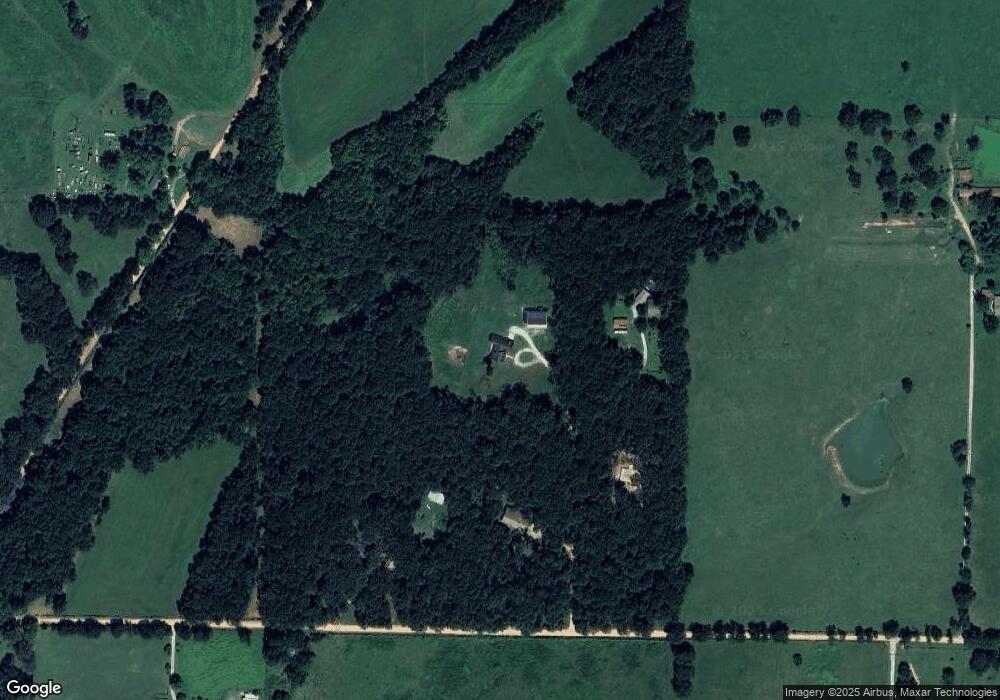
Map
Nearby Homes
- 13180 S Pleasant Valley Rd
- 12246 S Pleasant Valley Rd
- TBD Tract 3 S Pleasant Valley Rd
- TBD Tract 4 S Pleasant Valley Rd
- 9300 S Pleasant Valley Rd
- 9112 S Pleasant Valley Rd
- 9236 S Pleasant Valley Rd
- 9260 S Pleasant Valley Rd
- Tract #1 Digby Dr
- Tract #4 Digby Dr
- Tract #2 Digby Dr
- Tract #5 Digby Dr
- 9307 Digby Dr
- Tract #3 Digby Dr
- 2550 NW Peterson Rd
- 5400 Snyder Cove
- 5101 Snyder Cove
- 5200 Snyder Cove
- 5301 Snyder Cove
- 5300 Snyder Cove
- 15656 Malone Rd
- 15662 Malone Rd
- 15762 Malone Rd
- 0 Malone (Highfill) Rd Unit 459261
- 0 Malone (Highfill) Rd Unit 459262
- --
- 0 Malone (Highfill) Rd Unit 487304
- 0 Malone (Highfill) Rd Unit 487308
- 0 Malone (Highfill) Rd Unit 560912
- 0 Malone (Highfill) Rd Unit 560911
- 0 Melone Rd Unit 565949
- 0 Malone (Highfill) Rd Unit 575905
- 0 Malone (Highfill) Rd Unit 592290
- 15791 Malone Rd
- TBD S Pleasant Valley Rd
- 2150 S Pleasant Valley Rd
- 12698 S Pleasant Valley Rd
- 5 S Pleasant Valley Rd
- 11891 S Pleasant Valley Rd
- 10981 S Pleasant Valley Rd
Your Personal Tour Guide
Ask me questions while you tour the home.