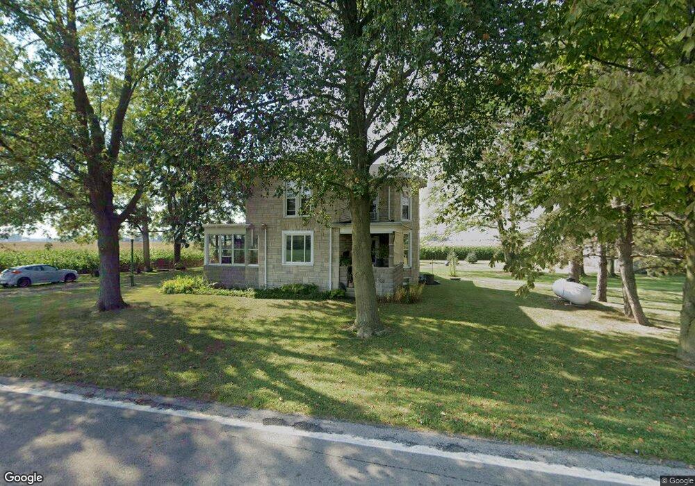
15671 State Route 189 Columbus Grove, OH 45830
Estimated Value: $203,862 - $247,000
4
Beds
1
Bath
1,176
Sq Ft
$194/Sq Ft
Est. Value
About This Home
This home is located at 15671 State Route 189, Columbus Grove, OH 45830 and is currently estimated at $227,716, approximately $193 per square foot. 15671 State Route 189 is a home located in Putnam County with nearby schools including Columbus Grove Elementary School, Columbus Grove Middle School, and Columbus Grove High School.
Ownership History
Date
Name
Owned For
Owner Type
Purchase Details
Closed on
Nov 21, 2013
Current Estimated Value
Home Financials for this Owner
Home Financials are based on the most recent Mortgage that was taken out on this home.
Interest Rate
4.22%
Purchase Details
Closed on
May 29, 2012
Sold by
Collar Oliver W and Collar Clifford D
Bought by
Collar Cliffton D
Create a Home Valuation Report for This Property
The Home Valuation Report is an in-depth analysis detailing your home's value as well as a comparison with similar homes in the area
Home Values in the Area
Average Home Value in this Area
Purchase History
| Date | Buyer | Sale Price | Title Company |
|---|---|---|---|
| -- | $50,000 | -- | |
| Collar Cliffton D | $1,800 | Attorney |
Source: Public Records
Mortgage History
| Date | Status | Borrower | Loan Amount |
|---|---|---|---|
| Closed | -- | -- |
Source: Public Records
Tax History Compared to Growth
Tax History
| Year | Tax Paid | Tax Assessment Tax Assessment Total Assessment is a certain percentage of the fair market value that is determined by local assessors to be the total taxable value of land and additions on the property. | Land | Improvement |
|---|---|---|---|---|
| 2024 | $1,491 | $48,720 | $4,140 | $44,580 |
| 2023 | $1,587 | $35,500 | $3,230 | $32,270 |
| 2022 | $1,305 | $35,501 | $3,231 | $32,270 |
| 2021 | $1,324 | $34,960 | $3,230 | $31,730 |
| 2020 | $1,301 | $25,180 | $2,690 | $22,490 |
| 2019 | $1,127 | $31,000 | $3,230 | $27,770 |
| 2018 | $1,116 | $31,000 | $3,230 | $27,770 |
| 2017 | $888 | $31,000 | $3,230 | $27,770 |
| 2016 | $888 | $25,180 | $2,690 | $22,490 |
| 2015 | $805 | $22,760 | $2,690 | $20,070 |
| 2014 | $813 | $22,760 | $2,690 | $20,070 |
| 2013 | $833 | $22,330 | $2,690 | $19,640 |
Source: Public Records
Map
Nearby Homes
- 148 S Water St
- 147 Elm St
- 4150 W Lincoln Hwy
- 2525 W Lincoln Hwy
- 11059 Ottawa Rd
- 6585 Ottawa Rd
- 300 Sweaney Ave
- 309 Wall St
- 201 Wall St
- 308 Delphos Rd
- 15105 Road 15m
- 3798 Kissing Hollow Dr
- 220 Parklane Dr
- 5550 Hartman Rd
- 209 Willow Bend Dr
- 6585 Huffer Rd
- 0 Fraunfelter Unit 307817
- 0 N Eastown Rd Unit 1034495
- 205 S Broadway St
- 204 S Broadway St
- 15781 State Route 189
- 15824 State Route 189
- 15461 State Route 189
- 15987 State Route 189
- 15331 St Route
- 15331 State Route 189
- 20095 State Route 115
- 177 Water St
- 256 Center St
- 167 N Water St
- 147 Water St
- 246 Center St
- 244 Center St
- 236 Center St
- 363 Cross St
- 226 Center St
- 392 W Findlay St
- 352 Cross St
- 148 N Water St
- 216 Center St