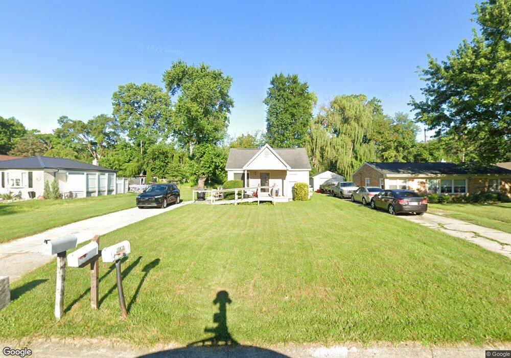
15675 Green Lane Ave Livonia, MI 48154
Estimated Value: $131,317 - $194,000
--
Bed
1
Bath
638
Sq Ft
$254/Sq Ft
Est. Value
About This Home
This home is located at 15675 Green Lane Ave, Livonia, MI 48154 and is currently estimated at $161,829, approximately $253 per square foot. 15675 Green Lane Ave is a home located in Wayne County with nearby schools including Riley Upper Elementary School, Buchanan Elementary School, and Holmes Middle School.
Ownership History
Date
Name
Owned For
Owner Type
Purchase Details
Closed on
Mar 23, 2020
Sold by
Standley Vern D and Staudley Scott J
Bought by
Piangerelli Gregory
Current Estimated Value
Home Financials for this Owner
Home Financials are based on the most recent Mortgage that was taken out on this home.
Original Mortgage
$105,000
Interest Rate
3.1%
Mortgage Type
VA
Purchase Details
Closed on
Jul 24, 1995
Sold by
Est Regina T Hernandez
Bought by
Mark Standley
Create a Home Valuation Report for This Property
The Home Valuation Report is an in-depth analysis detailing your home's value as well as a comparison with similar homes in the area
Home Values in the Area
Average Home Value in this Area
Purchase History
| Date | Buyer | Sale Price | Title Company |
|---|---|---|---|
| Piangerelli Gregory | $105,000 | None Available | |
| Mark Standley | $50,000 | -- |
Source: Public Records
Mortgage History
| Date | Status | Borrower | Loan Amount |
|---|---|---|---|
| Previous Owner | Piangerelli Gregory | $105,000 |
Source: Public Records
Tax History Compared to Growth
Tax History
| Year | Tax Paid | Tax Assessment Tax Assessment Total Assessment is a certain percentage of the fair market value that is determined by local assessors to be the total taxable value of land and additions on the property. | Land | Improvement |
|---|---|---|---|---|
| 2025 | $1,345 | $72,400 | $0 | $0 |
| 2024 | $1,345 | $69,700 | $0 | $0 |
| 2023 | $1,284 | $60,400 | $0 | $0 |
| 2022 | $2,254 | $55,200 | $0 | $0 |
| 2021 | $2,192 | $53,500 | $0 | $0 |
| 2019 | $1,811 | $45,600 | $0 | $0 |
| 2018 | $920 | $44,100 | $0 | $0 |
| 2017 | $1,680 | $39,300 | $0 | $0 |
| 2016 | $1,710 | $39,000 | $0 | $0 |
| 2015 | $2,882 | $37,520 | $0 | $0 |
| 2012 | -- | $27,930 | $21,200 | $6,730 |
Source: Public Records
Map
Nearby Homes
- 15681 Foch St
- 27416 Sunnydale St
- 27480 5 Mile Rd
- 27510 Five Mile Rd
- 15660 Meadowbrook Rd
- 14920 Taylor Blvd
- 14907 Taylor Blvd
- 14844 Inkster Rd
- 28692 Bayberry Park Dr
- 15988 Delaware Ave
- 27674 Western Golf Dr
- 27030 W 6 Mile Rd
- 27427 Vargo St
- 14328 Brook Dr
- 15433 Norborne
- 26610 W 6 Mile Rd
- 14174 San Jose
- 15389 Centralia
- 14243 Mason Dr
- 14483 Garden St
- 15627 Green Lane Ave
- 15701 Green Lane Ave
- 15625 Green Lane Ave
- 15623 Green Lane Ave
- 15715 Green Lane Ave
- 15670 Foch St
- 15684 Foch St
- 15656 Foch St
- 15725 Green Lane Ave
- 15613 Green Lane Ave
- 15670 Green Lane Ave
- 15650 Green Lane Ave
- 15690 Green Lane Ave
- 15630 Green Lane Ave
- MILFORD Green Lane Ave
- 15812 Foch St
- 15700 Green Lane Ave
- 15735 Green Lane Ave
- 15624 Green Lane Ave
- 15708 Green Lane Ave