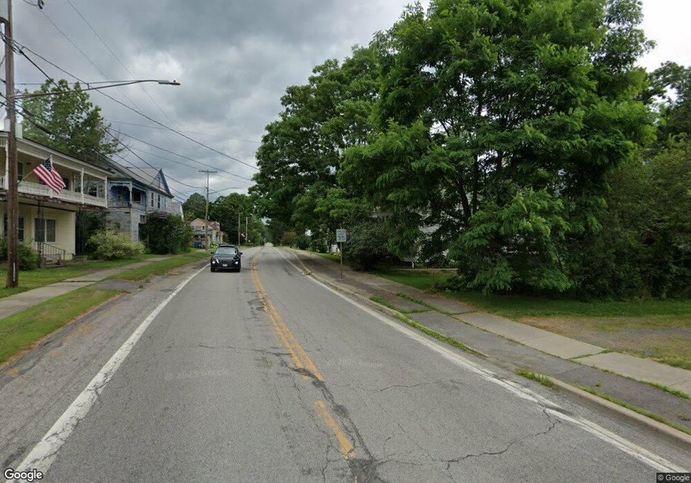
1568 County Highway 19 Burlington Flats, NY 13315
Estimated Value: $139,000 - $176,213
2
Beds
1
Bath
1,040
Sq Ft
$154/Sq Ft
Est. Value
About This Home
This home is located at 1568 County Highway 19, Burlington Flats, NY 13315 and is currently estimated at $160,053, approximately $153 per square foot. 1568 County Highway 19 is a home located in Otsego County with nearby schools including Edmeston Central School.
Ownership History
Date
Name
Owned For
Owner Type
Purchase Details
Closed on
May 12, 2021
Sold by
E W D
Bought by
Howard Alfred and Howard Fern
Current Estimated Value
Home Financials for this Owner
Home Financials are based on the most recent Mortgage that was taken out on this home.
Original Mortgage
$100,000
Interest Rate
2.9%
Mortgage Type
Purchase Money Mortgage
Purchase Details
Closed on
May 6, 2021
Sold by
Howard Alred and Howard Fern
Bought by
Morrissey Phyllis
Home Financials for this Owner
Home Financials are based on the most recent Mortgage that was taken out on this home.
Original Mortgage
$100,000
Interest Rate
2.9%
Mortgage Type
Purchase Money Mortgage
Purchase Details
Closed on
Jul 16, 2008
Sold by
Berberick William
Bought by
Berberick Living Trust Elizabeth R.
Create a Home Valuation Report for This Property
The Home Valuation Report is an in-depth analysis detailing your home's value as well as a comparison with similar homes in the area
Home Values in the Area
Average Home Value in this Area
Purchase History
| Date | Buyer | Sale Price | Title Company |
|---|---|---|---|
| Howard Alfred | -- | None Available | |
| Morrissey Phyllis | $125,000 | None Available | |
| Berberick Living Trust Elizabeth R. | -- | Davies Law |
Source: Public Records
Mortgage History
| Date | Status | Borrower | Loan Amount |
|---|---|---|---|
| Previous Owner | Morrissey Phyllis | $100,000 |
Source: Public Records
Tax History Compared to Growth
Tax History
| Year | Tax Paid | Tax Assessment Tax Assessment Total Assessment is a certain percentage of the fair market value that is determined by local assessors to be the total taxable value of land and additions on the property. | Land | Improvement |
|---|---|---|---|---|
| 2024 | $2,598 | $140,000 | $19,500 | $120,500 |
| 2023 | $2,312 | $50,655 | $10,055 | $40,600 |
| 2022 | $1,658 | $50,655 | $10,055 | $40,600 |
| 2021 | $1,695 | $50,655 | $10,055 | $40,600 |
| 2020 | $2,414 | $50,655 | $10,055 | $40,600 |
| 2019 | $794 | $51,000 | $10,400 | $40,600 |
| 2018 | $794 | $51,000 | $10,400 | $40,600 |
| 2017 | $774 | $51,000 | $10,400 | $40,600 |
| 2016 | $790 | $51,000 | $10,400 | $40,600 |
| 2015 | -- | $51,000 | $10,400 | $40,600 |
| 2014 | -- | $51,000 | $10,400 | $40,600 |
Source: Public Records
Map
Nearby Homes
- 6504 State Highway 51
- 205 Arnold Rd
- 6058 New York 51
- 6051 State Highway 51
- 2085 Co Rd 19
- 2085 Cr19
- 218 County Highway 22
- 369 Louie Dickinson Rd
- 2906 County Highway 16
- 0 Davenport Rd
- 0 Armstrong Rd
- 2338 County Road 20
- 0 Talbot Rd Unit LotWP001
- 0 Talbot Rd Unit LotWP002
- 7412 State Highway 51
- 1WP Talbot Rd
- 0WP Talbot Rd Unit 1
- 0 Pritchard Rd
- 793 County Highway 19
- 279 Frost Hill Rd
- 1558 County Highway 19
- 361 Norton Rd
- 6740 State Highway 51
- 1470 County Highway 19
- 3077 County Highway 34
- 164 Munson Rd
- 6364 State Highway 51
- 6388 State Highway 51
- 6384 State Highway 51
- 6524 State Highway 51
- 6345 State Highway 51
- 317 Jacobs Rd
- 242 Norton Rd
- 6431 New York 51
- 0 Norton Rd
- 6434 New York 51
- 6451 State Highway 51
- 6482 State Highway 51
- 6471 State Highway 51
- 6459 State Highway 51
