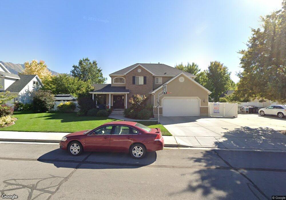
1568 E 550 S Springville, UT 84663
East Hobble Creek NeighborhoodEstimated Value: $566,000 - $727,000
3
Beds
3
Baths
2,092
Sq Ft
$308/Sq Ft
Est. Value
About This Home
This home is located at 1568 E 550 S, Springville, UT 84663 and is currently estimated at $644,779, approximately $308 per square foot. 1568 E 550 S is a home located in Utah County with nearby schools including Brookside School, Springville High School, and Springville Junior High School.
Ownership History
Date
Name
Owned For
Owner Type
Purchase Details
Closed on
Jan 9, 2006
Sold by
Klauck Michael W and Klauck Kraig A
Bought by
Anderson Jeffrey L and Anderson Rachael
Current Estimated Value
Home Financials for this Owner
Home Financials are based on the most recent Mortgage that was taken out on this home.
Original Mortgage
$204,414
Outstanding Balance
$111,421
Interest Rate
6.25%
Mortgage Type
Fannie Mae Freddie Mac
Estimated Equity
$533,358
Create a Home Valuation Report for This Property
The Home Valuation Report is an in-depth analysis detailing your home's value as well as a comparison with similar homes in the area
Home Values in the Area
Average Home Value in this Area
Purchase History
| Date | Buyer | Sale Price | Title Company |
|---|---|---|---|
| Anderson Jeffrey L | -- | Wasatch Land & Title |
Source: Public Records
Mortgage History
| Date | Status | Borrower | Loan Amount |
|---|---|---|---|
| Open | Anderson Jeffrey L | $204,414 |
Source: Public Records
Tax History
| Year | Tax Paid | Tax Assessment Tax Assessment Total Assessment is a certain percentage of the fair market value that is determined by local assessors to be the total taxable value of land and additions on the property. | Land | Improvement |
|---|---|---|---|---|
| 2025 | $3,046 | $323,730 | -- | -- |
| 2024 | $3,067 | $312,070 | $0 | $0 |
| 2023 | $3,067 | $314,490 | $0 | $0 |
| 2022 | $3,434 | $345,895 | $0 | $0 |
| 2021 | $3,086 | $483,800 | $162,800 | $321,000 |
| 2020 | $2,928 | $445,000 | $141,600 | $303,400 |
| 2019 | $2,827 | $437,400 | $134,000 | $303,400 |
| 2018 | $2,617 | $386,300 | $122,500 | $263,800 |
| 2017 | $2,576 | $201,960 | $0 | $0 |
| 2016 | $2,353 | $180,895 | $0 | $0 |
| 2015 | $2,302 | $180,895 | $0 | $0 |
| 2014 | $2,115 | $165,110 | $0 | $0 |
Source: Public Records
Map
Nearby Homes
- 557 S 1470 E
- 66 E 750 S Unit 23
- 1361 E 400 S
- 1518 E Pheasant Run Dr
- 1618 E 970 S
- 59 E 775 S Unit 21
- 52 E 775 S Unit 19
- 1800 Spring Oaks Dr
- 1185 Hillcrest Dr
- 1130 Hillcrest Dr
- 1783 E Spring Oaks Dr N Unit 12 & 1
- 1062 E 350 S
- 1839 River Bottom Rd
- 949 S 1060 E
- 802 S Brookside Dr
- 883 E 700 S
- 1092 Valley Sage Dr
- 1096 Valley Sage Dr
- 805 E 400 S
- 829 S 2200 E
Your Personal Tour Guide
Ask me questions while you tour the home.