1568 Main St Ferndale, WA 98248
Estimated Value: $245,000 - $446,000
--
Bed
--
Bath
224
Sq Ft
$1,471/Sq Ft
Est. Value
About This Home
This home is located at 1568 Main St, Ferndale, WA 98248 and is currently estimated at $329,452, approximately $1,470 per square foot. 1568 Main St is a home with nearby schools including Cascadia Elementary School, Vista Middle School, and Ferndale High School.
Ownership History
Date
Name
Owned For
Owner Type
Purchase Details
Closed on
Jul 1, 2016
Sold by
Downey Robert C
Bought by
Brown Ned D
Current Estimated Value
Home Financials for this Owner
Home Financials are based on the most recent Mortgage that was taken out on this home.
Original Mortgage
$62,500
Interest Rate
3.58%
Mortgage Type
Seller Take Back
Purchase Details
Closed on
Apr 7, 2009
Sold by
Downey Bruce A
Bought by
Downey Robert L
Purchase Details
Closed on
Oct 23, 2003
Sold by
Downey Robert C
Bought by
Downey Bruce A
Create a Home Valuation Report for This Property
The Home Valuation Report is an in-depth analysis detailing your home's value as well as a comparison with similar homes in the area
Home Values in the Area
Average Home Value in this Area
Purchase History
| Date | Buyer | Sale Price | Title Company |
|---|---|---|---|
| Brown Ned D | $62,500 | Chicago Title Insurance | |
| Downey Robert L | -- | None Available | |
| Downey Bruce A | -- | -- |
Source: Public Records
Mortgage History
| Date | Status | Borrower | Loan Amount |
|---|---|---|---|
| Closed | Brown Ned D | $62,500 |
Source: Public Records
Tax History Compared to Growth
Tax History
| Year | Tax Paid | Tax Assessment Tax Assessment Total Assessment is a certain percentage of the fair market value that is determined by local assessors to be the total taxable value of land and additions on the property. | Land | Improvement |
|---|---|---|---|---|
| 2024 | $2,058 | $287,051 | $271,328 | $15,723 |
| 2023 | $2,058 | $295,443 | $279,720 | $15,723 |
| 2022 | $704 | $95,301 | $92,676 | $2,625 |
| 2021 | $686 | $78,588 | $75,963 | $2,625 |
| 2020 | $763 | $70,452 | $67,827 | $2,625 |
| 2019 | $621 | $70,452 | $67,827 | $2,625 |
| 2018 | $782 | $68,167 | $65,542 | $2,625 |
| 2017 | $461 | $64,545 | $61,920 | $2,625 |
| 2016 | $428 | $41,119 | $39,619 | $1,500 |
| 2015 | $438 | $38,303 | $36,803 | $1,500 |
| 2014 | -- | $38,303 | $36,803 | $1,500 |
| 2013 | -- | $36,649 | $35,149 | $1,500 |
Source: Public Records
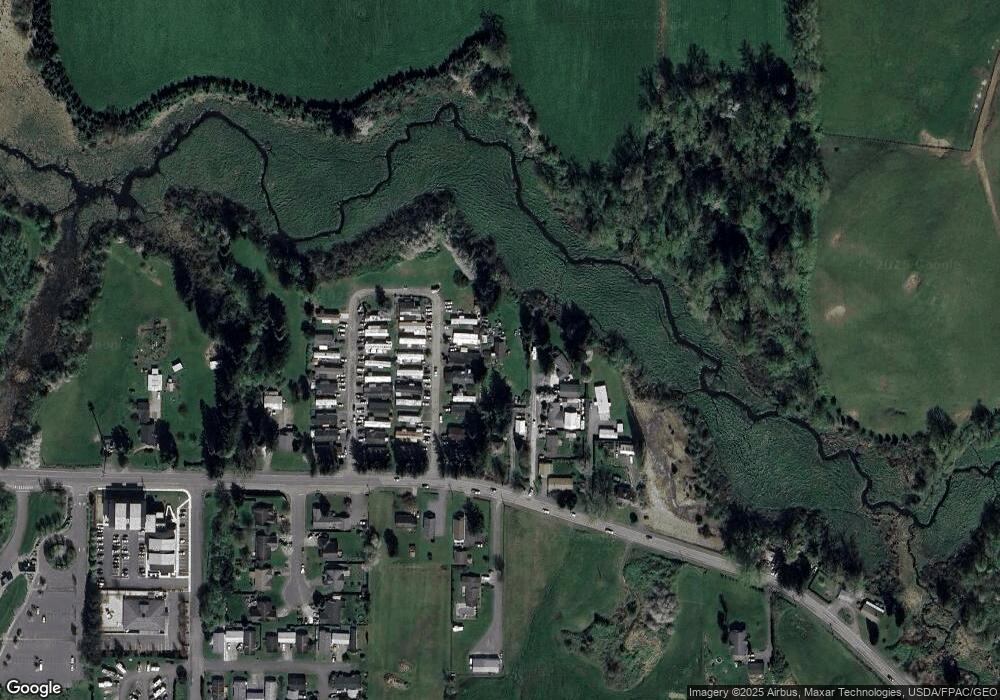
Map
Nearby Homes
- 1655 Main St
- 1371 W Axton Rd
- 1300 W Axton Rd
- 5400 Barrett Rd
- 0 Riverside Dr Unit NWM2356867
- 1245 W Axton Rd
- 1411 Woods Point Loop
- 5391 La Bounty Dr
- 5786 Portal Way
- 5863 Cedar St
- 1564 Main St
- 1142 Deer Creek Ln
- 5802 2nd Ave
- 5879 Anderson Ave
- 5873 Anderson Ave
- 5865 Anderson Ave
- 1991 Alder St Unit 204
- 5306 Myers Dr
- 77 xx Portal Way
- 5330 Bel Dr W
- 1550 Main St
- 1554 Main St
- 1560 Main St
- 1580 Main St Unit SP 21
- 1580 Main St Unit 27
- 1580 Main St Unit 25
- 1580 Main St Unit 15
- 1580 Main St Unit 30
- 1580 Main St Unit 1
- 1552 Main St
- 1480 W Axton Rd
- 1548 Main St
- 1625 W Axton Rd
- 1567 Main St
- 1573 Main St
- 1538 Main St
- 1575 Main St
- 1600 Main St
- 1565 Main St
- 1595 Main St