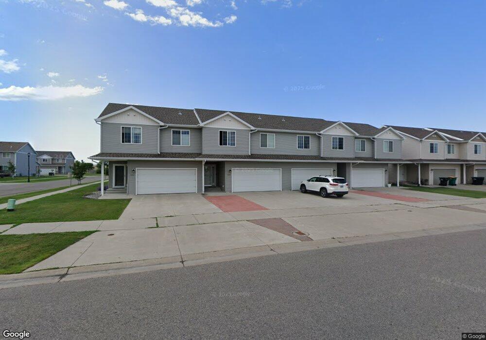
1569 10th Ave E West Fargo, ND 58078
Estimated Value: $231,000 - $273,414
3
Beds
3
Baths
1,700
Sq Ft
$148/Sq Ft
Est. Value
About This Home
This home is located at 1569 10th Ave E, West Fargo, ND 58078 and is currently estimated at $252,207, approximately $148 per square foot. 1569 10th Ave E is a home located in Cass County with nearby schools including Eastwood Elementary School, Cheney Middle School, and West Fargo High School.
Ownership History
Date
Name
Owned For
Owner Type
Purchase Details
Closed on
Mar 12, 2010
Sold by
Corn Llc
Bought by
Olson Debra L
Current Estimated Value
Home Financials for this Owner
Home Financials are based on the most recent Mortgage that was taken out on this home.
Original Mortgage
$101,600
Outstanding Balance
$67,406
Interest Rate
5%
Mortgage Type
New Conventional
Estimated Equity
$184,801
Create a Home Valuation Report for This Property
The Home Valuation Report is an in-depth analysis detailing your home's value as well as a comparison with similar homes in the area
Home Values in the Area
Average Home Value in this Area
Purchase History
| Date | Buyer | Sale Price | Title Company |
|---|---|---|---|
| Olson Debra L | $127,000 | -- |
Source: Public Records
Mortgage History
| Date | Status | Borrower | Loan Amount |
|---|---|---|---|
| Open | Olson Debra L | $101,600 |
Source: Public Records
Tax History Compared to Growth
Tax History
| Year | Tax Paid | Tax Assessment Tax Assessment Total Assessment is a certain percentage of the fair market value that is determined by local assessors to be the total taxable value of land and additions on the property. | Land | Improvement |
|---|---|---|---|---|
| 2024 | $1,254 | $107,200 | $15,000 | $92,200 |
| 2023 | $1,419 | $104,850 | $15,000 | $89,850 |
| 2022 | $3,385 | $100,750 | $15,000 | $85,750 |
| 2021 | $3,282 | $94,150 | $12,500 | $81,650 |
| 2020 | $2,650 | $95,950 | $12,500 | $83,450 |
| 2019 | $3,786 | $93,600 | $12,500 | $81,100 |
| 2018 | $3,722 | $93,400 | $12,500 | $80,900 |
| 2017 | $3,747 | $94,300 | $12,500 | $81,800 |
| 2016 | $3,342 | $88,000 | $12,500 | $75,500 |
| 2015 | $3,141 | $72,300 | $5,250 | $67,050 |
| 2014 | $3,094 | $67,550 | $5,250 | $62,300 |
| 2013 | $3,100 | $67,550 | $5,250 | $62,300 |
Source: Public Records
Map
Nearby Homes
- 1511 11th Ave E
- 1059 Sommerset Place
- 763 49th St S
- 806 49th St S
- 1041 Meyer Blvd
- 906 9th St E Unit 8
- 4768 8th Ave S
- 1115 4th Ave E
- 851 12th Ave E
- 1511 14 1 2 Ave E
- 237 Suntree Ct
- 987 14th Ave E
- 4704 8th Ave S
- 1221 Cedar Way
- 1438 Suntree Dr
- 1815 3rd Ave E
- 2120 4th Ave E
- 502 8th St E
- 681 Pheasant Run
- 670 13th Ave E
- 1565 10th Ave E
- 1573 10th Ave E
- 1561 10th Ave E
- 1557 10th Ave E
- 1553 10th Ave E
- 1568 11th Ave E
- 1572 11th Ave E
- 1564 11th Ave E
- 1560 11th Ave E
- 1549 10th Ave E
- 1556 11th Ave E
- 1545 10th Ave E
- 1552 11th Ave E
- 1548 11th Ave E
- 1541 10th Ave E
- 1544 11th Ave E
- 954 Homestead Ct
- 1537 10th Ave E
- 948 Homestead Ct
- 1540 11th Ave E