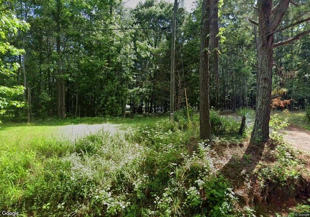
1569 Amberstapp Studdard Rd Social Circle, GA 30025
Estimated Value: $188,000 - $355,000
--
Bed
--
Bath
1,248
Sq Ft
$213/Sq Ft
Est. Value
About This Home
This home is located at 1569 Amberstapp Studdard Rd, Social Circle, GA 30025 and is currently estimated at $265,258, approximately $212 per square foot. 1569 Amberstapp Studdard Rd is a home located in Walton County with nearby schools including Harmony Elementary School, Carver Middle School, and Monroe Area High School.
Ownership History
Date
Name
Owned For
Owner Type
Purchase Details
Closed on
Dec 1, 2016
Sold by
Odessa
Bought by
Powers Jesse G and Powers Don P
Current Estimated Value
Purchase Details
Closed on
Feb 7, 1989
Bought by
Powers Odessa M
Create a Home Valuation Report for This Property
The Home Valuation Report is an in-depth analysis detailing your home's value as well as a comparison with similar homes in the area
Home Values in the Area
Average Home Value in this Area
Purchase History
| Date | Buyer | Sale Price | Title Company |
|---|---|---|---|
| Powers Jesse G | $58,520 | -- | |
| Powers Odessa M | $4,500 | -- |
Source: Public Records
Tax History Compared to Growth
Tax History
| Year | Tax Paid | Tax Assessment Tax Assessment Total Assessment is a certain percentage of the fair market value that is determined by local assessors to be the total taxable value of land and additions on the property. | Land | Improvement |
|---|---|---|---|---|
| 2024 | -- | $55,012 | $29,560 | $25,452 |
| 2023 | $0 | $47,492 | $23,600 | $23,892 |
| 2022 | $1,398 | $41,812 | $20,720 | $21,092 |
| 2021 | $1,111 | $33,212 | $15,000 | $18,212 |
| 2020 | $1,018 | $30,452 | $12,520 | $17,932 |
| 2019 | $961 | $28,732 | $11,240 | $17,492 |
| 2018 | $990 | $28,732 | $11,240 | $17,492 |
| 2017 | $973 | $28,252 | $11,240 | $17,012 |
| 2016 | $212 | $23,408 | $8,760 | $14,648 |
| 2015 | $212 | $22,688 | $8,760 | $13,928 |
| 2014 | $217 | $21,680 | $7,600 | $14,080 |
Source: Public Records
Map
Nearby Homes
- 4841 Partee Trail
- 1013 Amber Stapp Studdard Rd
- 1310 Knox Chapel Rd
- 4685 Hawkins Academy Rd
- 745 Amber Lakes Ct Unit 2
- 180 River Meadow
- 342 Orwell Drive Lot 95
- 190 Orwell Dr
- 190 Orwell Dr Unit 102
- 2535 Willow Ln
- 4967 Hawkins Academy Rd
- 4601 Parkwood Rd
- 0 Thurman Baccus Rd Unit 10438526
- 330 Orwell Dr
- 330 Orwell Dr Unit 96
- 271 Orwell Dr Unit 49
- 271 Orwell Dr
- 345 Woodfin Way
- 339 Woodfin Way
- 278 Woodfin
- 1559 Amberstapp Studdard Rd
- 1549 Amberstapp Studdard Rd
- 4841 Partee Trail Unit 12
- 0 Partee Trail Unit 3169319
- 0 Partee Trail Unit 7138696
- 0 Partee Trail Unit 7227403
- 0 Partee Trail Unit 7448417
- 0 Partee Trail
- 1537 Amberstapp Studdard Rd
- 4821 Partee Trail
- 4901 Partee Trail
- 4861 Partee Trail
- 4881 Partee Trail
- 1529 Amberstapp Studdard Rd
- 1519 Knox Chapel Rd
- 5 Amber Stapp Studdard Rd
- 4 Amber Stapp Studdard Rd
- 2 Amber Stapp Studdard Rd
- 1 Amber Stapp Studdard Rd
- 40 acres Amber Stapp Studdard Rd
