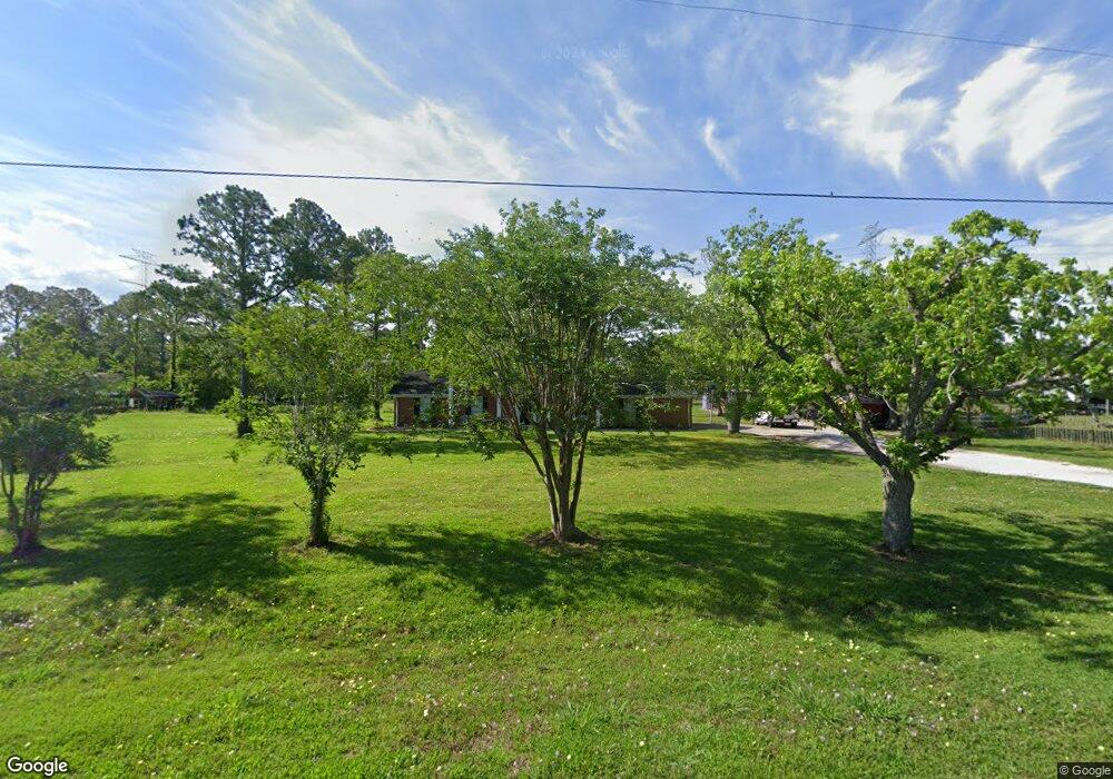
1569 County Road 797 Brazoria, TX 77422
Estimated Value: $288,000 - $406,160
5
Beds
4
Baths
2,184
Sq Ft
$152/Sq Ft
Est. Value
About This Home
This home is located at 1569 County Road 797, Brazoria, TX 77422 and is currently estimated at $331,540, approximately $151 per square foot. 1569 County Road 797 is a home located in Brazoria County.
Ownership History
Date
Name
Owned For
Owner Type
Purchase Details
Closed on
Jul 16, 2007
Sold by
Hurd Barbara R
Bought by
Conant Pamela Kaye and Conant Patrick Lee
Current Estimated Value
Home Financials for this Owner
Home Financials are based on the most recent Mortgage that was taken out on this home.
Original Mortgage
$116,000
Outstanding Balance
$72,655
Interest Rate
6.54%
Mortgage Type
New Conventional
Estimated Equity
$258,885
Purchase Details
Closed on
Feb 14, 2000
Sold by
Thompson Carroll Victor and Thompson Billie Jo
Bought by
Hurd Dewey L and Hurd Barbara R
Home Financials for this Owner
Home Financials are based on the most recent Mortgage that was taken out on this home.
Original Mortgage
$109,725
Interest Rate
8.16%
Purchase Details
Closed on
Jul 22, 1997
Sold by
Jackson Robert C and Jackson Sarah M
Bought by
Thompson Carroll Victor and Thompson Billie Jo
Home Financials for this Owner
Home Financials are based on the most recent Mortgage that was taken out on this home.
Original Mortgage
$85,350
Interest Rate
7.6%
Create a Home Valuation Report for This Property
The Home Valuation Report is an in-depth analysis detailing your home's value as well as a comparison with similar homes in the area
Home Values in the Area
Average Home Value in this Area
Purchase History
| Date | Buyer | Sale Price | Title Company |
|---|---|---|---|
| Conant Pamela Kaye | -- | Alamo Title Company | |
| Hurd Dewey L | -- | -- | |
| Thompson Carroll Victor | -- | -- |
Source: Public Records
Mortgage History
| Date | Status | Borrower | Loan Amount |
|---|---|---|---|
| Open | Conant Pamela Kaye | $116,000 | |
| Previous Owner | Hurd Dewey L | $109,725 | |
| Previous Owner | Thompson Carroll Victor | $85,350 |
Source: Public Records
Tax History Compared to Growth
Tax History
| Year | Tax Paid | Tax Assessment Tax Assessment Total Assessment is a certain percentage of the fair market value that is determined by local assessors to be the total taxable value of land and additions on the property. | Land | Improvement |
|---|---|---|---|---|
| 2025 | $2,107 | $264,740 | $62,940 | $201,800 |
| 2023 | $2,107 | $224,268 | $69,630 | $206,840 |
| 2022 | $3,218 | $203,880 | $40,290 | $163,590 |
| 2021 | $3,233 | $192,830 | $33,580 | $159,250 |
| 2020 | $3,498 | $195,040 | $33,580 | $161,460 |
| 2019 | $3,296 | $188,150 | $46,290 | $141,860 |
| 2018 | $3,020 | $178,380 | $23,000 | $155,380 |
| 2017 | $2,773 | $186,450 | $23,000 | $163,450 |
| 2016 | $2,521 | $188,540 | $23,000 | $165,540 |
| 2015 | $1,675 | $143,150 | $19,170 | $123,980 |
| 2014 | $1,675 | $111,800 | $14,140 | $97,660 |
Source: Public Records
Map
Nearby Homes
- 1561 County Road 797
- 2082 Fm 521 Rd
- 1970 Fm 521 Rd
- 2560 Cr-769c
- 2541 Cr 769c
- 3006 Fm 521 Rd
- 0 County Road 520 Unit 11272899
- 229 Yaupon Dr
- 523 Lazy Ln
- 0 Pecan Dr
- 1208 S Brooks St
- 232 Magnolia St
- 307 Avenue G
- 3559 Farm To Market Road 521
- 0 County Road 506 Unit 90697040
- 34654 Fm 521 Rd
- 8922 Fm 521 Rd
- 230 E New York St
- 409 Carlton St
- 133 Country Oaks St
- 1577 County Road 797
- 1562 County Road 797
- 1570 County Road 797
- 1581 County Road 797
- 1581 County Road 797
- 1518 County Road 797
- 1516 Cr 797
- 1516 County Road 797
- 1592 County Road 797
- 1515 County Road 797
- 1591 County Road 797
- 1512 County Road 797
- 1599 County Road 797
- 1599 Cr 797
- 1594 County Road 797
- 1510 Cr 797
- 1510 County Road 797
- 1507 Cr 797
- 1507 County Road 797
- 2112 Fm 521 Rd