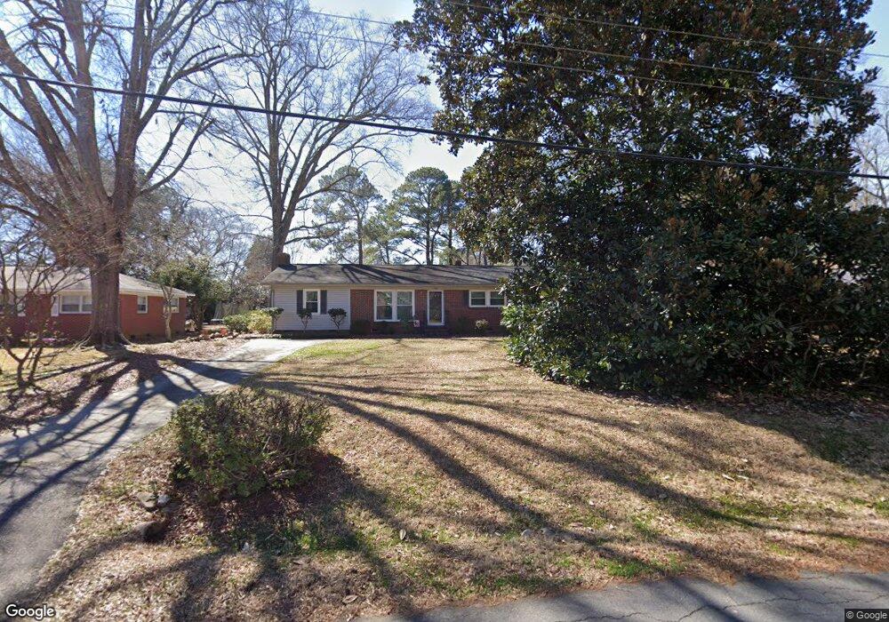
1569 Estes Dr Rock Hill, SC 29732
Estimated Value: $243,861 - $385,000
--
Bed
--
Bath
1,565
Sq Ft
$188/Sq Ft
Est. Value
About This Home
This home is located at 1569 Estes Dr, Rock Hill, SC 29732 and is currently estimated at $294,965, approximately $188 per square foot. 1569 Estes Dr is a home located in York County with nearby schools including Richmond Drive Elementary School, W.C. Sullivan Middle School, and South Pointe High School.
Ownership History
Date
Name
Owned For
Owner Type
Purchase Details
Closed on
Mar 28, 2016
Bought by
Timmerman Henry Shelden
Current Estimated Value
Home Financials for this Owner
Home Financials are based on the most recent Mortgage that was taken out on this home.
Original Mortgage
$165,000
Outstanding Balance
$131,211
Interest Rate
3.71%
Estimated Equity
$163,754
Purchase Details
Closed on
Oct 31, 2015
Sold by
Lane Henry Grady
Bought by
Johnson Juliet Lane
Purchase Details
Closed on
Oct 25, 2015
Sold by
Estate Of Mildred Ann Simpson Lane
Bought by
Johnson Juliet Lane and Lane Henry Grady
Create a Home Valuation Report for This Property
The Home Valuation Report is an in-depth analysis detailing your home's value as well as a comparison with similar homes in the area
Home Values in the Area
Average Home Value in this Area
Purchase History
| Date | Buyer | Sale Price | Title Company |
|---|---|---|---|
| Timmerman Henry Shelden | -- | -- | |
| Johnson Juliet Lane | -- | -- | |
| Johnson Juliet Lane | -- | -- |
Source: Public Records
Mortgage History
| Date | Status | Borrower | Loan Amount |
|---|---|---|---|
| Open | Timmerman Henry Shelden | $165,000 | |
| Closed | Timmerman Henry Shelden | -- |
Source: Public Records
Tax History Compared to Growth
Tax History
| Year | Tax Paid | Tax Assessment Tax Assessment Total Assessment is a certain percentage of the fair market value that is determined by local assessors to be the total taxable value of land and additions on the property. | Land | Improvement |
|---|---|---|---|---|
| 2024 | $2,993 | $6,762 | $1,541 | $5,221 |
| 2023 | $2,997 | $6,762 | $1,541 | $5,221 |
| 2022 | $2,856 | $6,762 | $1,541 | $5,221 |
| 2021 | -- | $6,762 | $1,541 | $5,221 |
| 2020 | $2,799 | $6,762 | $0 | $0 |
| 2019 | $2,495 | $5,880 | $0 | $0 |
| 2018 | $2,458 | $5,880 | $0 | $0 |
| 2017 | $2,374 | $5,880 | $0 | $0 |
| 2016 | $2,327 | $5,880 | $0 | $0 |
| 2014 | $466 | $3,920 | $1,120 | $2,800 |
| 2013 | $466 | $4,240 | $1,120 | $3,120 |
Source: Public Records
Map
Nearby Homes
- 1541 Ebenezer Rd
- 310 Berkeley Rd
- 1458 Constitution Blvd
- 1429 Alexander Rd
- 302 Ginsberg Rd
- 1545 Granville Rd
- 306 Ginsberg Rd
- 310 Ginsberg Rd
- 248 Pointe Cir
- Garland Plan at Allston
- Gable Plan at Allston
- 448 Berryman Rd
- 1505 Clarendon Place
- 1784 Ebenezer Rd
- 420 Bly St
- 651 Melville Dr
- 1792 Ebenezer Rd Unit G
- 1806 Ebenezer Rd Unit E
- 358 Rose Garden Ct
- 405 Jenny Skip Ln