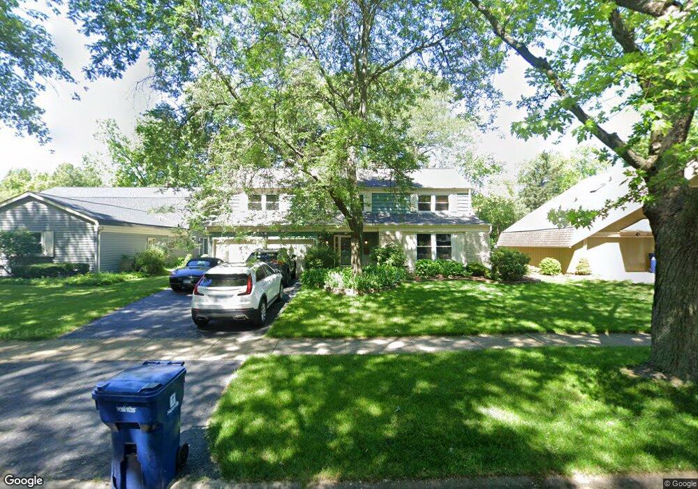
1569 Killdeer Dr Naperville, IL 60565
Maple Brook NeighborhoodEstimated Value: $637,603 - $786,000
Studio
1
Bath
3,014
Sq Ft
$229/Sq Ft
Est. Value
About This Home
This home is located at 1569 Killdeer Dr, Naperville, IL 60565 and is currently estimated at $691,151, approximately $229 per square foot. 1569 Killdeer Dr is a home located in DuPage County with nearby schools including Maplebrook Elementary School, Lincoln Jr. High School, and Naperville Central High School.
Ownership History
Date
Name
Owned For
Owner Type
Purchase Details
Closed on
Mar 30, 1994
Sold by
Degeeter Dale J and Degeeter Loretta
Bought by
Culhane James W and Culhane Molly A
Current Estimated Value
Home Financials for this Owner
Home Financials are based on the most recent Mortgage that was taken out on this home.
Original Mortgage
$171,200
Interest Rate
7.51%
Create a Home Valuation Report for This Property
The Home Valuation Report is an in-depth analysis detailing your home's value as well as a comparison with similar homes in the area
Home Values in the Area
Average Home Value in this Area
Purchase History
| Date | Buyer | Sale Price | Title Company |
|---|---|---|---|
| Culhane James W | $214,000 | Attorneys Natl Title Network |
Source: Public Records
Mortgage History
| Date | Status | Borrower | Loan Amount |
|---|---|---|---|
| Closed | Culhane James W | $171,200 |
Source: Public Records
Tax History
| Year | Tax Paid | Tax Assessment Tax Assessment Total Assessment is a certain percentage of the fair market value that is determined by local assessors to be the total taxable value of land and additions on the property. | Land | Improvement |
|---|---|---|---|---|
| 2024 | $10,531 | $179,903 | $74,343 | $105,560 |
| 2023 | $10,149 | $164,190 | $67,850 | $96,340 |
| 2022 | $9,732 | $156,370 | $64,620 | $91,750 |
| 2021 | $9,377 | $150,460 | $62,180 | $88,280 |
| 2020 | $9,177 | $147,750 | $61,060 | $86,690 |
| 2019 | $8,530 | $135,600 | $58,420 | $77,180 |
| 2018 | $8,315 | $132,290 | $56,990 | $75,300 |
| 2017 | $8,147 | $127,830 | $55,070 | $72,760 |
| 2016 | $7,984 | $123,210 | $53,080 | $70,130 |
| 2015 | $7,932 | $116,030 | $49,990 | $66,040 |
| 2014 | $7,778 | $110,500 | $47,610 | $62,890 |
| 2013 | $7,661 | $110,760 | $47,720 | $63,040 |
Source: Public Records
Map
Nearby Homes
- 44 Swift Ln
- 1751 S Washington St Unit 1
- 77 Bluebird Ln
- 138 E Bailey Rd Unit M
- 144 E Bailey Rd Unit G
- 1583 Orchard Cir
- 8S510 Oxford Ln
- 1803 River Ridge Cir
- 510 Harlowe Ln Unit 2001C
- 1449 Whitespire Ct Unit 5104
- 43 Foxcroft Rd Unit G135
- 1723 Napoleon Dr
- 8S452 Bell Dr
- 1508 Terrance Dr
- 1919 Coach Dr
- 292 Winding Creek Dr
- 1908 Wisteria Ct Unit 2
- 1925 Coach Dr
- 106 Foxcroft Rd
- 120 Rieser Cir
- 1565 Killdeer Dr
- 1573 Killdeer Dr
- 1561 Killdeer Dr
- 1577 Killdeer Dr
- 1568 Towhee Ln
- 1568 Killdeer Dr
- 1572 Towhee Ln
- 1572 Killdeer Dr
- 1560 Towhee Ln
- 33 W Bailey Rd
- 1557 Killdeer Dr
- 1564 Killdeer Dr
- 1560 Killdeer Dr
- 17 W Bailey Rd
- 1553 Killdeer Dr
- 1556 Towhee Ln
- 1556 Killdeer Dr
- 24 W Bailey Rd
- 20 W Bailey Rd
- 1548 Towhee Ln
Your Personal Tour Guide
Ask me questions while you tour the home.