1569 Langram Rd Put In Bay, OH 43456
Estimated Value: $469,765 - $722,000
4
Beds
1
Bath
1,872
Sq Ft
$299/Sq Ft
Est. Value
About This Home
This home is located at 1569 Langram Rd, Put In Bay, OH 43456 and is currently estimated at $559,441, approximately $298 per square foot. 1569 Langram Rd is a home with nearby schools including Put-In-Bay Elementary School and Put-In-Bay High School.
Ownership History
Date
Name
Owned For
Owner Type
Purchase Details
Closed on
Dec 10, 2020
Sold by
Engel Eric L and Estate Of Robert L Engel
Bought by
Engel Eric L
Current Estimated Value
Home Financials for this Owner
Home Financials are based on the most recent Mortgage that was taken out on this home.
Original Mortgage
$173,500
Outstanding Balance
$154,742
Interest Rate
2.8%
Mortgage Type
New Conventional
Estimated Equity
$404,699
Create a Home Valuation Report for This Property
The Home Valuation Report is an in-depth analysis detailing your home's value as well as a comparison with similar homes in the area
Home Values in the Area
Average Home Value in this Area
Purchase History
| Date | Buyer | Sale Price | Title Company |
|---|---|---|---|
| Engel Eric L | $240,000 | None Available |
Source: Public Records
Mortgage History
| Date | Status | Borrower | Loan Amount |
|---|---|---|---|
| Open | Engel Eric L | $173,500 |
Source: Public Records
Tax History Compared to Growth
Tax History
| Year | Tax Paid | Tax Assessment Tax Assessment Total Assessment is a certain percentage of the fair market value that is determined by local assessors to be the total taxable value of land and additions on the property. | Land | Improvement |
|---|---|---|---|---|
| 2024 | $5,387 | $160,531 | $88,354 | $72,177 |
| 2023 | $5,387 | $111,248 | $71,054 | $40,194 |
| 2022 | $4,011 | $111,248 | $71,054 | $40,194 |
| 2021 | $4,015 | $111,250 | $71,050 | $40,200 |
| 2020 | $3,191 | $92,680 | $54,660 | $38,020 |
| 2019 | $3,080 | $92,680 | $54,660 | $38,020 |
| 2018 | $3,104 | $92,680 | $54,660 | $38,020 |
| 2017 | $2,371 | $68,960 | $43,270 | $25,690 |
| 2016 | $2,374 | $68,960 | $43,270 | $25,690 |
| 2015 | $2,338 | $68,960 | $43,270 | $25,690 |
| 2014 | $1,202 | $71,240 | $45,550 | $25,690 |
| 2013 | $2,279 | $71,240 | $45,550 | $25,690 |
Source: Public Records
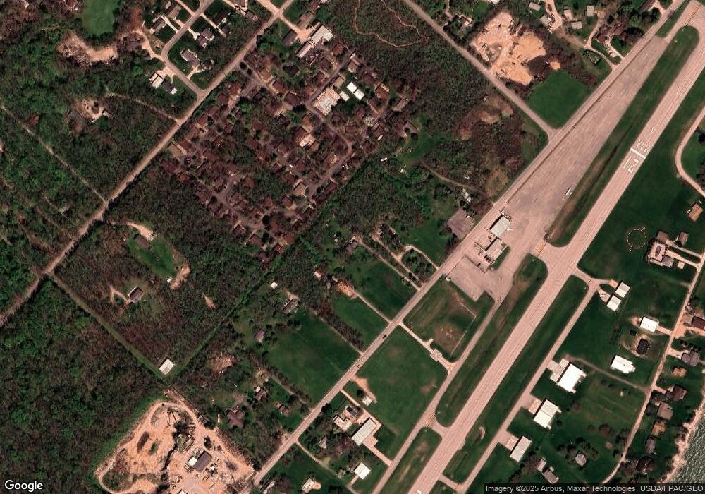
Map
Nearby Homes
- 166 Mariners Cove
- 1 Langram Rd
- 0 Langram Rd
- 1751 Airline Dr
- 1839 Put In Bay Rd
- 1741 Put In Bay Rd
- 156 Cessna Dr
- 1230 Tri-Motor Dr Unit 4
- 1230 Tri Motor Dr Unit 4
- 1262 Tri-Motor Dr Unit 110
- 1252 Tri-Motor Dr Unit 213
- 70 Niese Place
- 0 Put-In-bay Rd Unit 5108785
- 1 Elliot Ave
- 174 Booker Ln
- 1 Jones
- 1 Farragut
- 569 Victory Ln
- 585 Victory Ln
- 389 Loraine Ave
- 1605 Langram Rd
- 1539 Langram Rd
- 1582 Leeward Ln
- 1568 Leeward Ln
- 1554 Leeward Ln
- 51 Mariners Cove
- 110 Regatta Rd
- 1641 Langram Rd
- 1540 Leeward Ln
- 52 Mariners Cove
- 1505 Langram Rd
- 124 Regatta Rd
- 130 Sandcastle Dr
- 140 Sandcastle Dr
- 1525 Leeward Ln
- 1671 Langram Rd
- 1483 Langram Rd
- 1511 Leeward Ln
- 1484 Leeward Ln
- 181 Mariners Cove