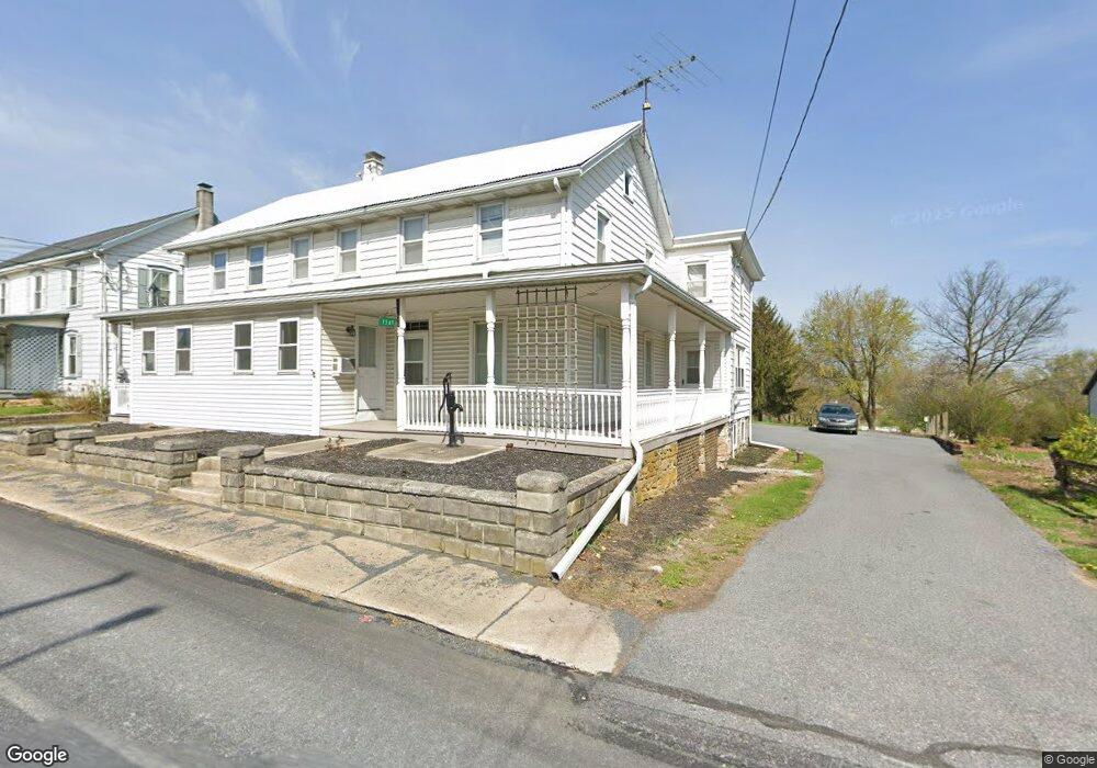
1569 Main St East Earl, PA 17519
Estimated Value: $349,000 - $755,000
--
Bed
6
Baths
3,360
Sq Ft
$146/Sq Ft
Est. Value
About This Home
This home is located at 1569 Main St, East Earl, PA 17519 and is currently estimated at $489,154, approximately $145 per square foot. 1569 Main St is a home located in Lancaster County with nearby schools including Garden Spot Middle School, Garden Spot Senior High School, and Spring Grove School.
Ownership History
Date
Name
Owned For
Owner Type
Purchase Details
Closed on
Mar 6, 2020
Sold by
Petersheim Floyd K and Petersheim Rebecca S
Bought by
Del Llc
Current Estimated Value
Home Financials for this Owner
Home Financials are based on the most recent Mortgage that was taken out on this home.
Original Mortgage
$180,000
Outstanding Balance
$159,717
Interest Rate
3.6%
Mortgage Type
Future Advance Clause Open End Mortgage
Estimated Equity
$329,437
Create a Home Valuation Report for This Property
The Home Valuation Report is an in-depth analysis detailing your home's value as well as a comparison with similar homes in the area
Home Values in the Area
Average Home Value in this Area
Purchase History
| Date | Buyer | Sale Price | Title Company |
|---|---|---|---|
| Del Llc | $225,000 | Regal Abstract Lancaster |
Source: Public Records
Mortgage History
| Date | Status | Borrower | Loan Amount |
|---|---|---|---|
| Open | Del Llc | $180,000 |
Source: Public Records
Tax History Compared to Growth
Tax History
| Year | Tax Paid | Tax Assessment Tax Assessment Total Assessment is a certain percentage of the fair market value that is determined by local assessors to be the total taxable value of land and additions on the property. | Land | Improvement |
|---|---|---|---|---|
| 2025 | $4,640 | $259,100 | $60,800 | $198,300 |
| 2024 | $4,640 | $259,100 | $60,800 | $198,300 |
| 2023 | $4,573 | $259,100 | $60,800 | $198,300 |
| 2022 | $4,524 | $259,100 | $60,800 | $198,300 |
| 2021 | $4,452 | $259,100 | $60,800 | $198,300 |
| 2020 | $4,452 | $259,100 | $60,800 | $198,300 |
| 2019 | $4,404 | $259,100 | $60,800 | $198,300 |
| 2018 | $6,290 | $259,100 | $60,800 | $198,300 |
| 2017 | $4,269 | $205,000 | $35,100 | $169,900 |
| 2016 | $4,269 | $205,000 | $35,100 | $169,900 |
| 2015 | $1,186 | $205,000 | $35,100 | $169,900 |
| 2014 | $2,890 | $205,000 | $35,100 | $169,900 |
Source: Public Records
Map
Nearby Homes
- 1276 Martin St
- 1487 Ironstone Dr
- 1220 Shetland Cir
- 1215 Shetland Cir
- 2085 Main St
- 5907 Wertztown Rd
- 2140 Main St
- 1145 Brownstone Ridge
- 1022 Elwood St
- 1328 Union Grove Rd
- 1923 Barnett St
- 302 E Main St
- 5884 Mast Rd
- 103 Lynwood Dr
- 529 Ranck Rd Unit 6
- 529 Ranck Rd Unit 10
- 529 Ranck Rd Unit 9
- 529 Ranck Rd Unit 8
- 529 Ranck Rd Unit 5
- 529 Ranck Rd Unit 4
- 1575 Main St
- 1563 Main St
- 1579 Main St
- 113 Spring Grove Rd
- 1581 Main St
- 1572 Main St
- 1570 Main St
- 1551 Main St
- 115 Spring Grove Rd
- 117 Spring Grove Rd
- 119 Spring Grove Rd
- 1578 Main St
- 121 Spring Grove Rd
- 108 Spring Grove Rd
- 1582 Main St
- 125 Spring Grove Rd
- 112 Spring Grove Rd
- 114 Spring Grove Rd
- 1554 Main St
- 116 Spring Grove Rd