1569 Range Trail Verona, WI 53593
Estimated Value: $496,000 - $701,000
Studio
--
Bath
--
Sq Ft
89,690
Sq Ft Lot
About This Home
This home is located at 1569 Range Trail, Verona, WI 53593 and is currently estimated at $643,888. 1569 Range Trail is a home with nearby schools including Country View Elementary School, Savanna Oaks Middle School, and Verona Area High School.
Ownership History
Date
Name
Owned For
Owner Type
Purchase Details
Closed on
Mar 29, 2019
Sold by
Sarbacker Thomas A and Sarbacker Vicki L
Bought by
Sarbacker Andrew T and Sarbacker Kara J
Current Estimated Value
Home Financials for this Owner
Home Financials are based on the most recent Mortgage that was taken out on this home.
Original Mortgage
$285,940
Outstanding Balance
$248,279
Interest Rate
4.3%
Mortgage Type
New Conventional
Estimated Equity
$395,609
Purchase Details
Closed on
Mar 26, 2019
Sold by
Duppler Vernon F
Bought by
Sarbacker Thomas A and Sarbacker Viki L
Home Financials for this Owner
Home Financials are based on the most recent Mortgage that was taken out on this home.
Original Mortgage
$285,940
Outstanding Balance
$248,279
Interest Rate
4.3%
Mortgage Type
New Conventional
Estimated Equity
$395,609
Create a Home Valuation Report for This Property
The Home Valuation Report is an in-depth analysis detailing your home's value as well as a comparison with similar homes in the area
Purchase History
| Date | Buyer | Sale Price | Title Company |
|---|---|---|---|
| Sarbacker Andrew T | $12,500 | Knight Barry Title | |
| Sarbacker Thomas A | -- | Knight Barry Title |
Source: Public Records
Mortgage History
| Date | Status | Borrower | Loan Amount |
|---|---|---|---|
| Open | Sarbacker Andrew T | $285,940 |
Source: Public Records
Tax History
| Year | Tax Paid | Tax Assessment Tax Assessment Total Assessment is a certain percentage of the fair market value that is determined by local assessors to be the total taxable value of land and additions on the property. | Land | Improvement |
|---|---|---|---|---|
| 2025 | $9,245 | $551,700 | $135,900 | $415,800 |
| 2023 | $8,638 | $551,700 | $135,900 | $415,800 |
| 2022 | $7,133 | $312,100 | $81,600 | $230,500 |
| 2021 | $7,243 | $312,100 | $81,600 | $230,500 |
| 2020 | $6,623 | $312,100 | $81,600 | $230,500 |
Source: Public Records
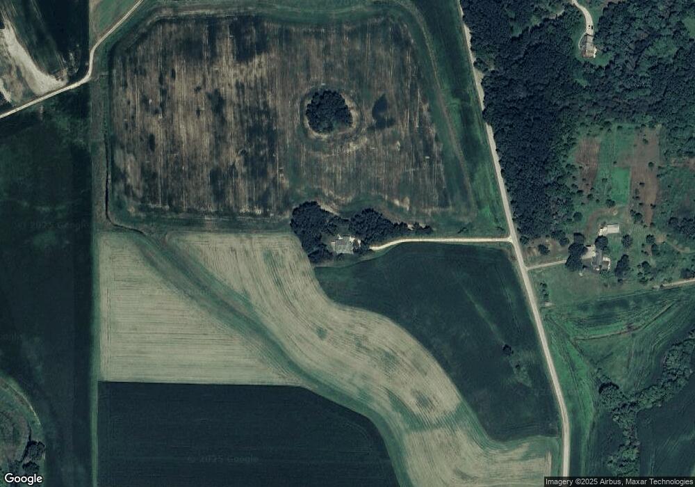
Map
Nearby Homes
- 1741 Black Cherry Ct
- 1299 County Road Pb
- 6814 Horseshoe Bend
- 0 Riverside Rd Unit 2005389
- 1359 Winchester Pass
- 1249 Wild Willow Way
- 1208 Merry Blossom Ln
- 1083 Siena Dr
- 102 Prairie Heights Dr Unit 406
- 27.72 Ac Valley Rd and Hwy 69 Acres
- 410 New Age Cir Unit 214
- 410 New Age Cir Unit 304
- 6435 County Road M
- Lot 4 Riverside Rd
- Lot 5 Riverside Rd
- 1070 Hageman Rd
- 371 Bell View Ave
- 6500 Shady Bend Rd
- 571 S Hillcrest Dr
- 6454 Shady Bend Rd
- 1560 Range Trail
- 1600 Range Trail
- 1633 Range Trail
- 1610 Range Trail
- 1501 Range Trail
- 1485 Range Trail
- 1672 Range Trail
- 1500 Sunrise Ln
- 1694 Range Trail
- 1685 Black Cherry Ct
- 1499 Sunrise Ln
- 1690 Black Cherry Ct
- 1531 County Road Pb
- 1502 Sunrise Ln
- 1502 Sunrise Ln
- 1517 County Road Pb
- 1720 Range Trail
- 1700 Black Cherry Ct
- 1710 Black Cherry Ct
- 1411 Range Tr
Your Personal Tour Guide
Ask me questions while you tour the home.