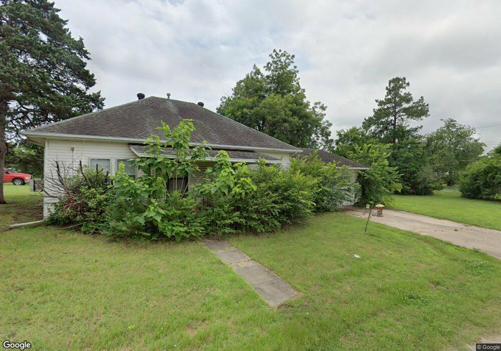
1569 Tim Holt Dr Harrah, OK 73045
Estimated Value: $89,000 - $131,000
2
Beds
1
Bath
1,064
Sq Ft
$108/Sq Ft
Est. Value
About This Home
This home is located at 1569 Tim Holt Dr, Harrah, OK 73045 and is currently estimated at $114,996, approximately $108 per square foot. 1569 Tim Holt Dr is a home located in Oklahoma County with nearby schools including Virginia Smith Elementary School, Russell Babb Elementary School, and Clara Reynolds Elementary School.
Ownership History
Date
Name
Owned For
Owner Type
Purchase Details
Closed on
Jun 30, 2010
Sold by
Nicholson Melissa
Bought by
Nicholson Victor
Current Estimated Value
Home Financials for this Owner
Home Financials are based on the most recent Mortgage that was taken out on this home.
Original Mortgage
$62,655
Outstanding Balance
$42,723
Interest Rate
5.25%
Mortgage Type
FHA
Estimated Equity
$72,273
Purchase Details
Closed on
Nov 26, 2002
Sold by
Nickel Paul and Nickel Charlotte L
Bought by
Nicholson Melissa Jane
Purchase Details
Closed on
Apr 22, 1985
Sold by
Meany Belbenia
Bought by
Nickel Paul and Nickel Raymond
Create a Home Valuation Report for This Property
The Home Valuation Report is an in-depth analysis detailing your home's value as well as a comparison with similar homes in the area
Home Values in the Area
Average Home Value in this Area
Purchase History
| Date | Buyer | Sale Price | Title Company |
|---|---|---|---|
| Nicholson Victor | $63,500 | Old Republic Title Co Of Ok | |
| Nicholson Melissa Jane | $35,500 | Stewart Escrow & Title | |
| Nickel Paul | -- | -- |
Source: Public Records
Mortgage History
| Date | Status | Borrower | Loan Amount |
|---|---|---|---|
| Open | Nicholson Victor | $62,655 |
Source: Public Records
Tax History Compared to Growth
Tax History
| Year | Tax Paid | Tax Assessment Tax Assessment Total Assessment is a certain percentage of the fair market value that is determined by local assessors to be the total taxable value of land and additions on the property. | Land | Improvement |
|---|---|---|---|---|
| 2024 | $760 | $8,155 | $2,546 | $5,609 |
| 2023 | $760 | $7,766 | $2,291 | $5,475 |
| 2022 | $736 | $7,397 | $2,469 | $4,928 |
| 2021 | $701 | $7,045 | $1,386 | $5,659 |
| 2020 | $686 | $6,710 | $1,493 | $5,217 |
| 2019 | $707 | $6,930 | $1,493 | $5,437 |
| 2018 | $737 | $7,095 | $0 | $0 |
| 2017 | $699 | $6,858 | $1,271 | $5,587 |
| 2016 | $677 | $6,531 | $1,271 | $5,260 |
| 2015 | $639 | $6,220 | $1,274 | $4,946 |
| 2014 | $650 | $6,343 | $1,274 | $5,069 |
Source: Public Records
Map
Nearby Homes
- Maple Plan at Brush Creek
- Lilac Plan at Brush Creek
- Rosemary Plan at Brush Creek
- Bradford Plan at Brush Creek
- Lavender Plan at Brush Creek
- 1650 N 1st St
- 1487 N 1st St
- 2220 Church Ave
- 1239 N 2nd St
- 20629 Twisted Oak Rd
- 972 Tim Holt Dr
- 2231 Church Ave
- 20687 Brush Creek Blvd
- 20675 Brush Creek Blvd
- 20661 Brush Creek Blvd
- 20657 Brush Creek Blvd
- 20653 Brush Creek Blvd
- 20649 Brush Creek Blvd
- 20645 Brush Creek Blvd
- 900 Harrison St