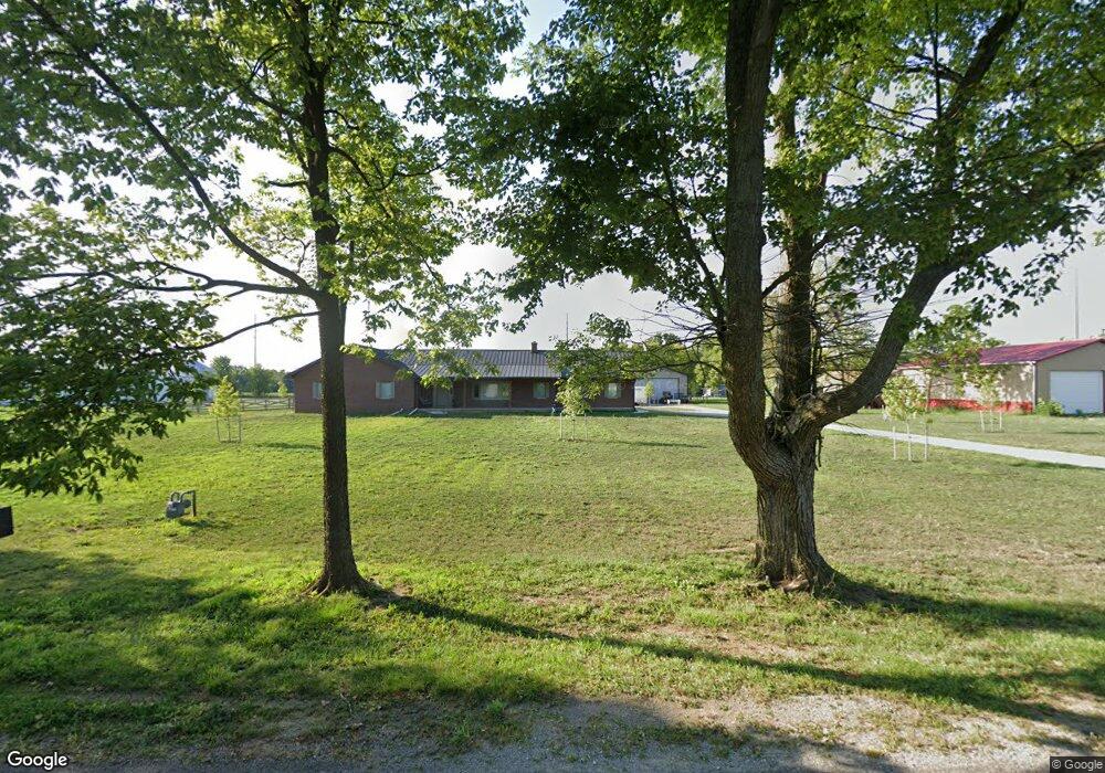
15695 W Us Hwy Unit 62 Mount Sterling, OH 43143
Estimated Value: $160,370 - $210,000
2
Beds
1
Bath
1,227
Sq Ft
$148/Sq Ft
Est. Value
About This Home
This home is located at 15695 W Us Hwy Unit 62, Mount Sterling, OH 43143 and is currently estimated at $181,593, approximately $147 per square foot. 15695 W Us Hwy Unit 62 is a home located in Madison County with nearby schools including Madison-Plains Elementary School, Madison-Plains Intermediate School, and Madison-Plains Junior High School.
Ownership History
Date
Name
Owned For
Owner Type
Purchase Details
Closed on
Jun 2, 2020
Sold by
Persinger Sharon
Bought by
Bruffy Michelle
Current Estimated Value
Home Financials for this Owner
Home Financials are based on the most recent Mortgage that was taken out on this home.
Original Mortgage
$102,800
Outstanding Balance
$91,124
Interest Rate
3.2%
Mortgage Type
Commercial
Estimated Equity
$90,469
Create a Home Valuation Report for This Property
The Home Valuation Report is an in-depth analysis detailing your home's value as well as a comparison with similar homes in the area
Home Values in the Area
Average Home Value in this Area
Purchase History
| Date | Buyer | Sale Price | Title Company |
|---|---|---|---|
| Bruffy Michelle | $128,500 | None Available |
Source: Public Records
Mortgage History
| Date | Status | Borrower | Loan Amount |
|---|---|---|---|
| Open | Bruffy Michelle | $102,800 |
Source: Public Records
Tax History Compared to Growth
Tax History
| Year | Tax Paid | Tax Assessment Tax Assessment Total Assessment is a certain percentage of the fair market value that is determined by local assessors to be the total taxable value of land and additions on the property. | Land | Improvement |
|---|---|---|---|---|
| 2024 | $932 | $27,230 | $8,570 | $18,660 |
| 2023 | $932 | $27,230 | $8,570 | $18,660 |
| 2022 | $748 | $20,640 | $6,500 | $14,140 |
| 2021 | $729 | $20,640 | $6,500 | $14,140 |
| 2020 | $730 | $20,640 | $6,500 | $14,140 |
| 2019 | $574 | $16,720 | $6,500 | $10,220 |
| 2018 | $274 | $16,720 | $6,500 | $10,220 |
| 2017 | $273 | $16,860 | $6,640 | $10,220 |
| 2016 | $203 | $15,030 | $6,640 | $8,390 |
| 2015 | $1,619 | $15,030 | $6,640 | $8,390 |
| 2014 | $1,619 | $15,030 | $6,640 | $8,390 |
| 2013 | -- | $20,930 | $7,260 | $13,670 |
Source: Public Records
Map
Nearby Homes
- 230 W Columbus St
- 233 W Main St
- 223 W Main St
- 500 Wingate Place N
- 67 W Columbus St
- 16185 State Route 207
- 60 N London St
- 94 Jefferson St
- 178 Poplar St
- 15561 Blain Rd
- 8713 State Route 207
- 16270 Cook Yankeetown Rd NE
- 12265 Woods Opossum Run
- 10586 Baldwin Rd
- 0 Rockwell Rd Unit 225016734
- 0 Renick Rd
- 13810 Yankeetown Chenoweth Rd
- 14008 1st St
- 12343 State Route 316
- 10187 Mantle Rd
- 15695 Us Hwy Unit 62
- 15695 Us Highway 62 SE
- 15685 Us Highway 62 SE
- 15685 SE Us Hwy Unit 62
- 15709 Us Highway 62 SE
- 15671 Us Hwy Unit 62
- 15671 Us Highway 62 SE
- 336 Yankeetown St
- 15729 Us Highway 62 SE
- 15665 Us Highway 62 SE
- 315 W Columbus St
- 15750 State Route 207
- 311 W Columbus St
- 332 Yankeetown St
- 15755 Us Hwy SE Unit 62
- 301 W Columbus St
- 15730 State Route 207
- 314 Yankeetown St
- 89 Clevenger Ave
- 330 Yankeetown St